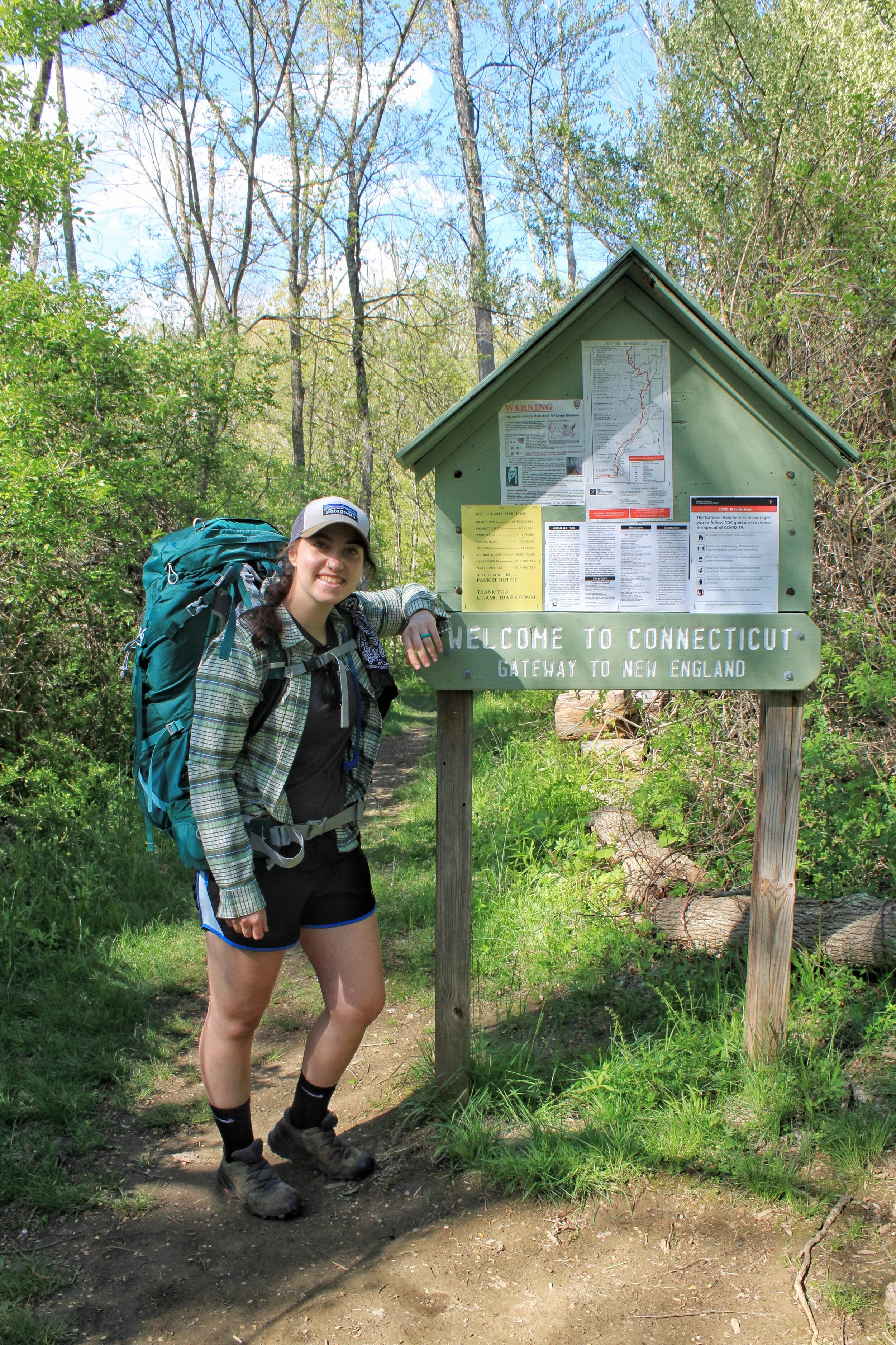
The Appalachian Trail is the one of the oldest footpaths in America. The Trail starts in Georgia and ends in Maine for a total mileage of 2,180 miles.
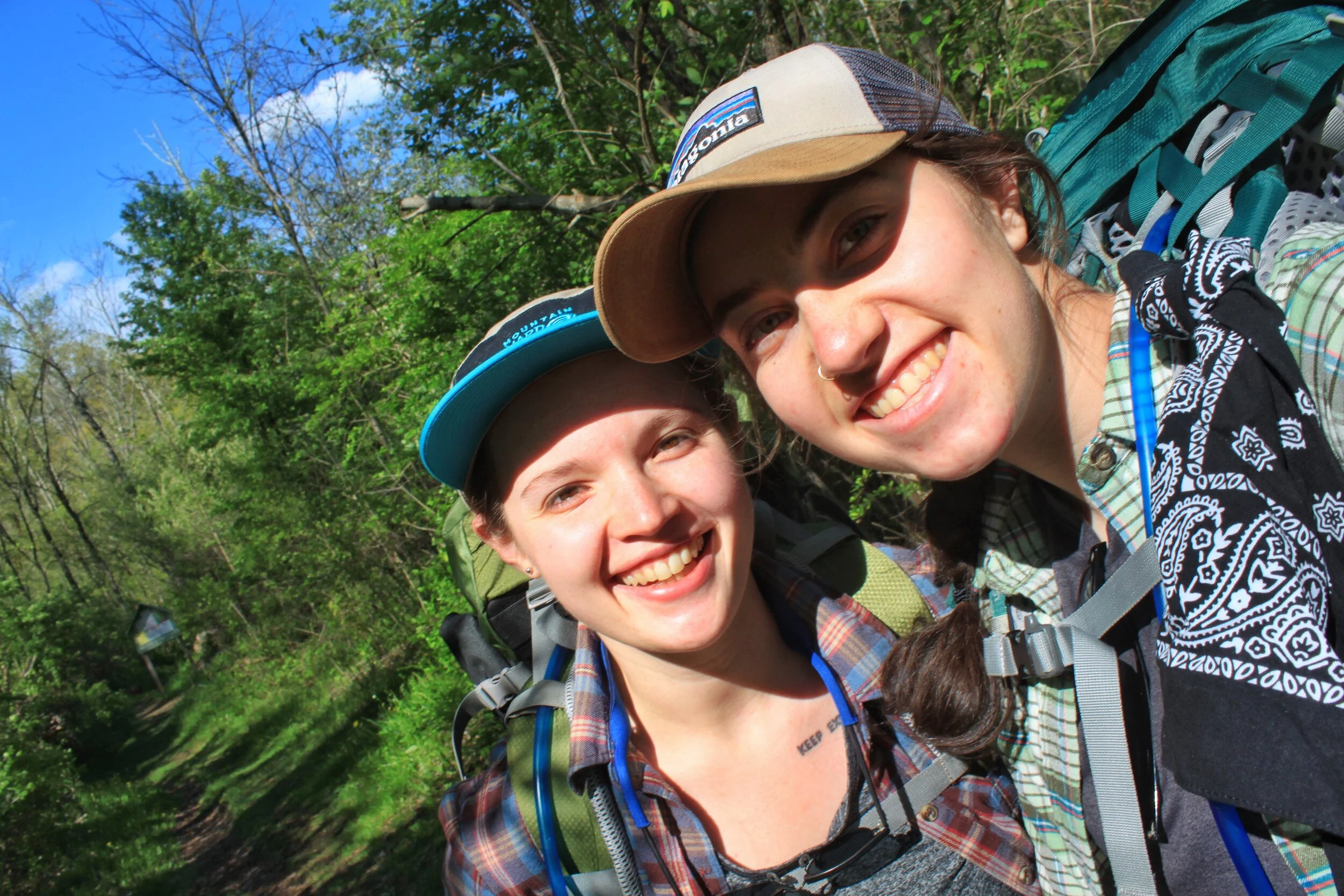
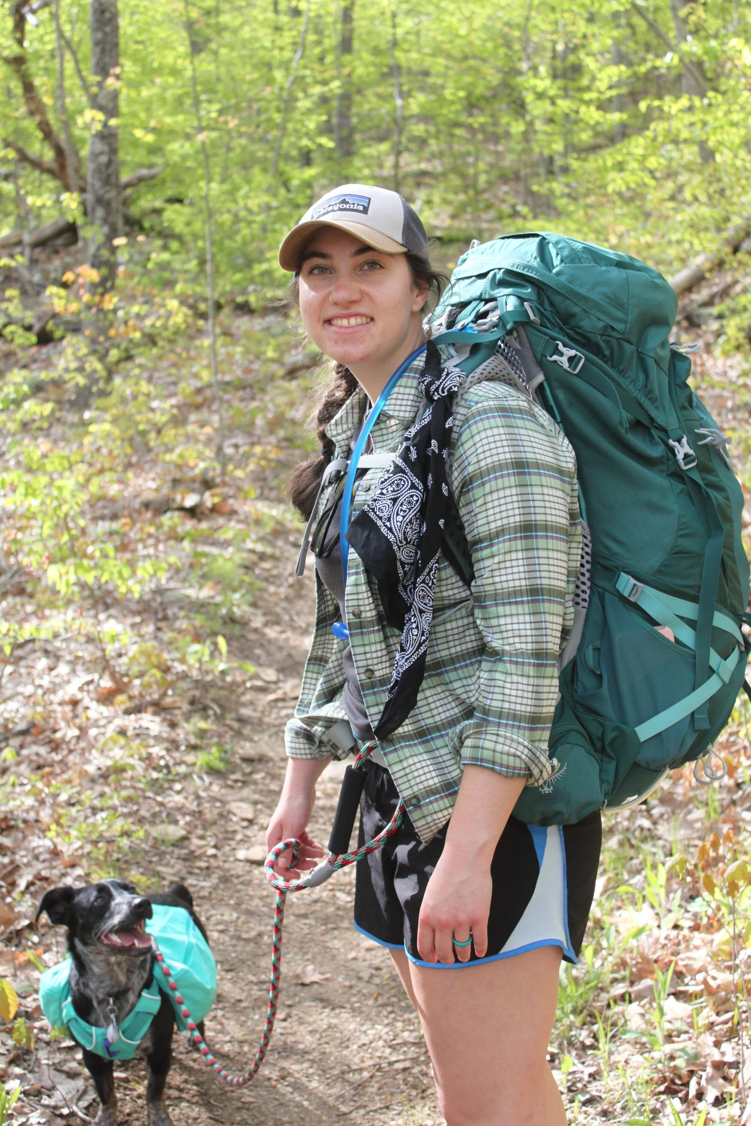
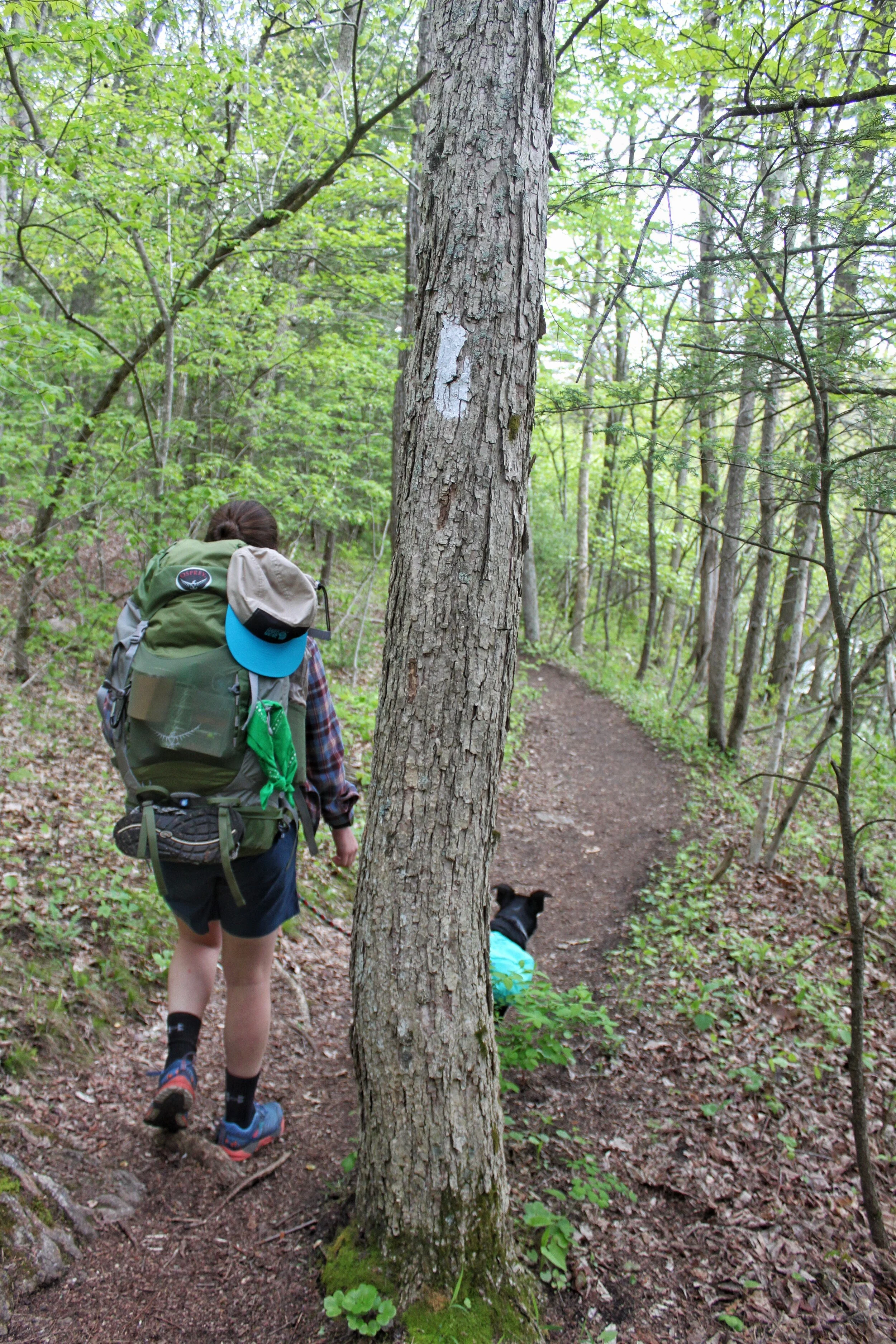
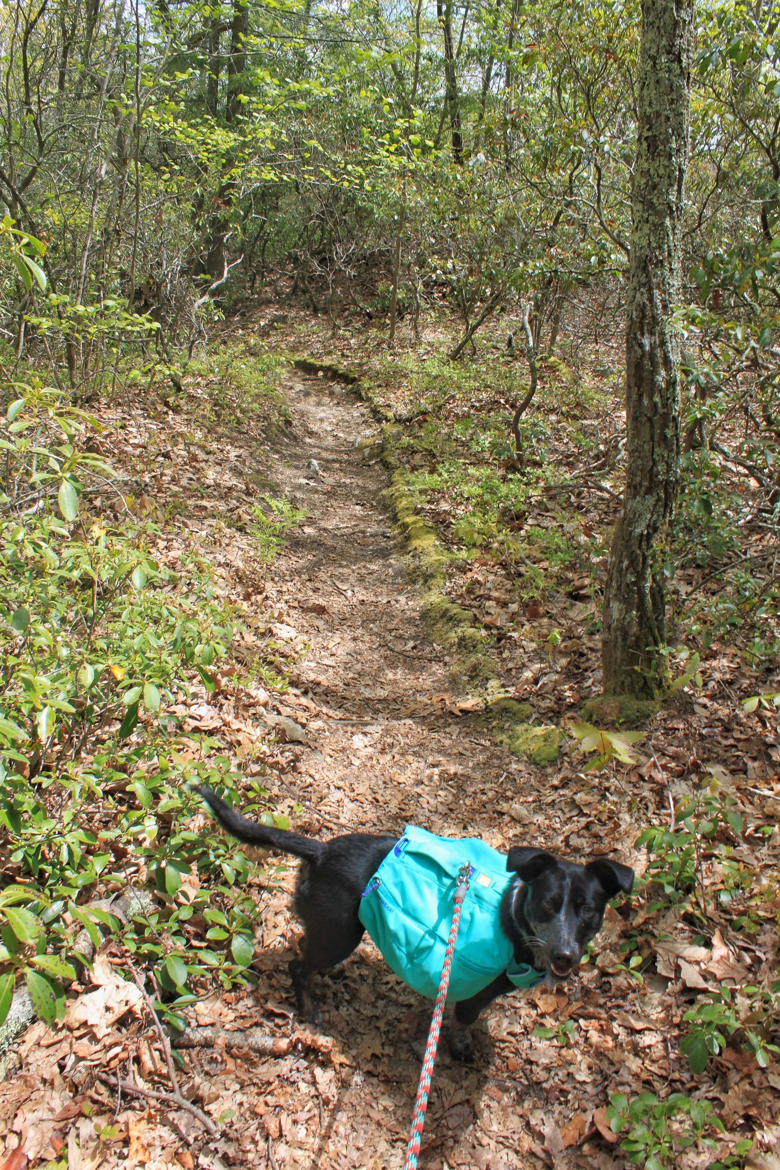
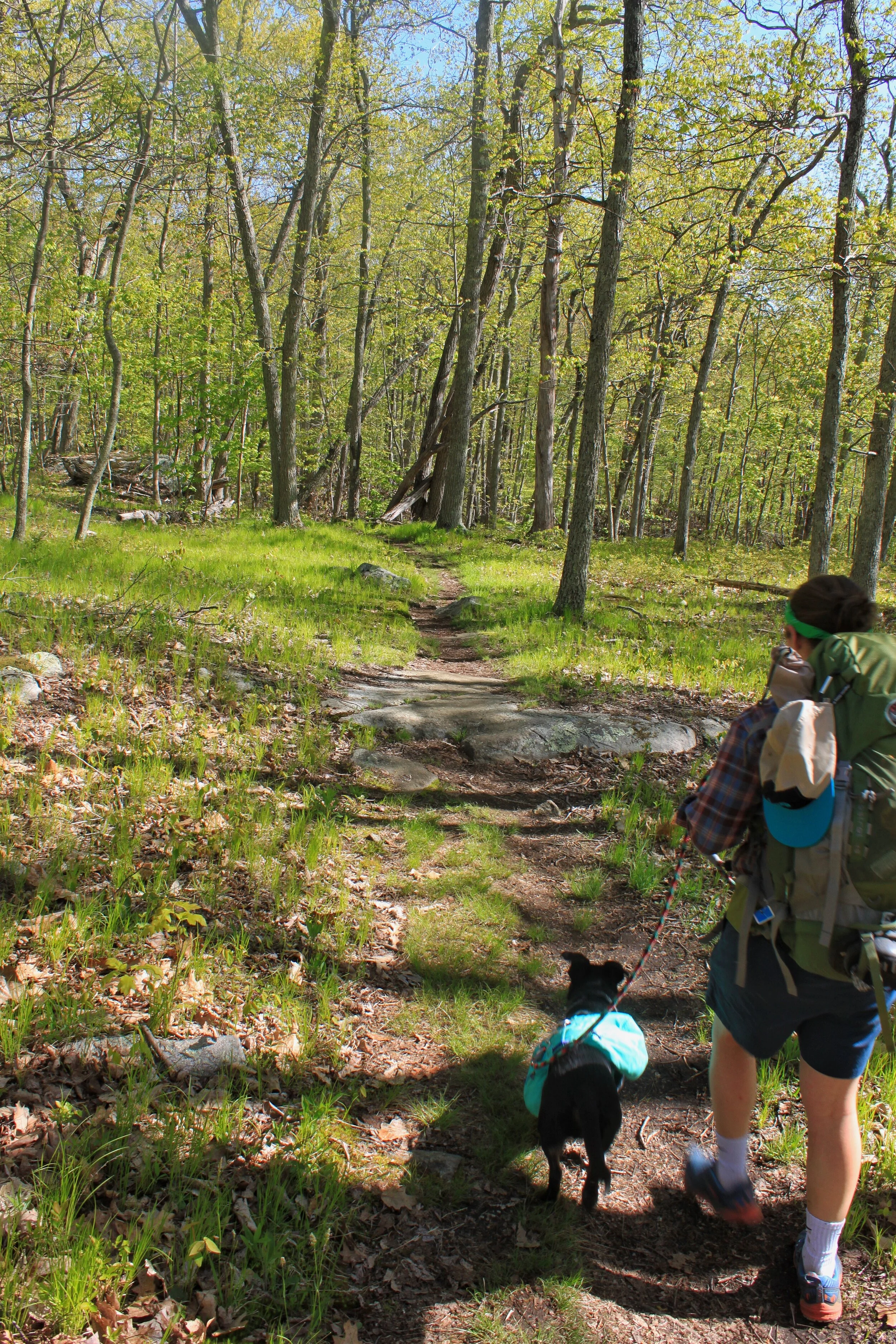
When I first heard about hiking the AT I was in elementary school and we were learning about the trail in a history lesson. Shortly after I proudly announced to my girl-scout troop that for our final outing we should do a hike on the AT. We ended up doing a short day hike on a boardwalk with zero elevation gain. Fast forward to college, specifically the summer of ‘16, my partner Leah and I set out to section hike Connecticut. We had intentions of finishing all 52 miles but didn’t make it by the time we had to head back to college. So now with 3 day work weeks, we’re setting out this year to Backpack the Connecticut section. Oh, and our 1.5-year-old Blue Heeler mix, Lucy, is coming with us!
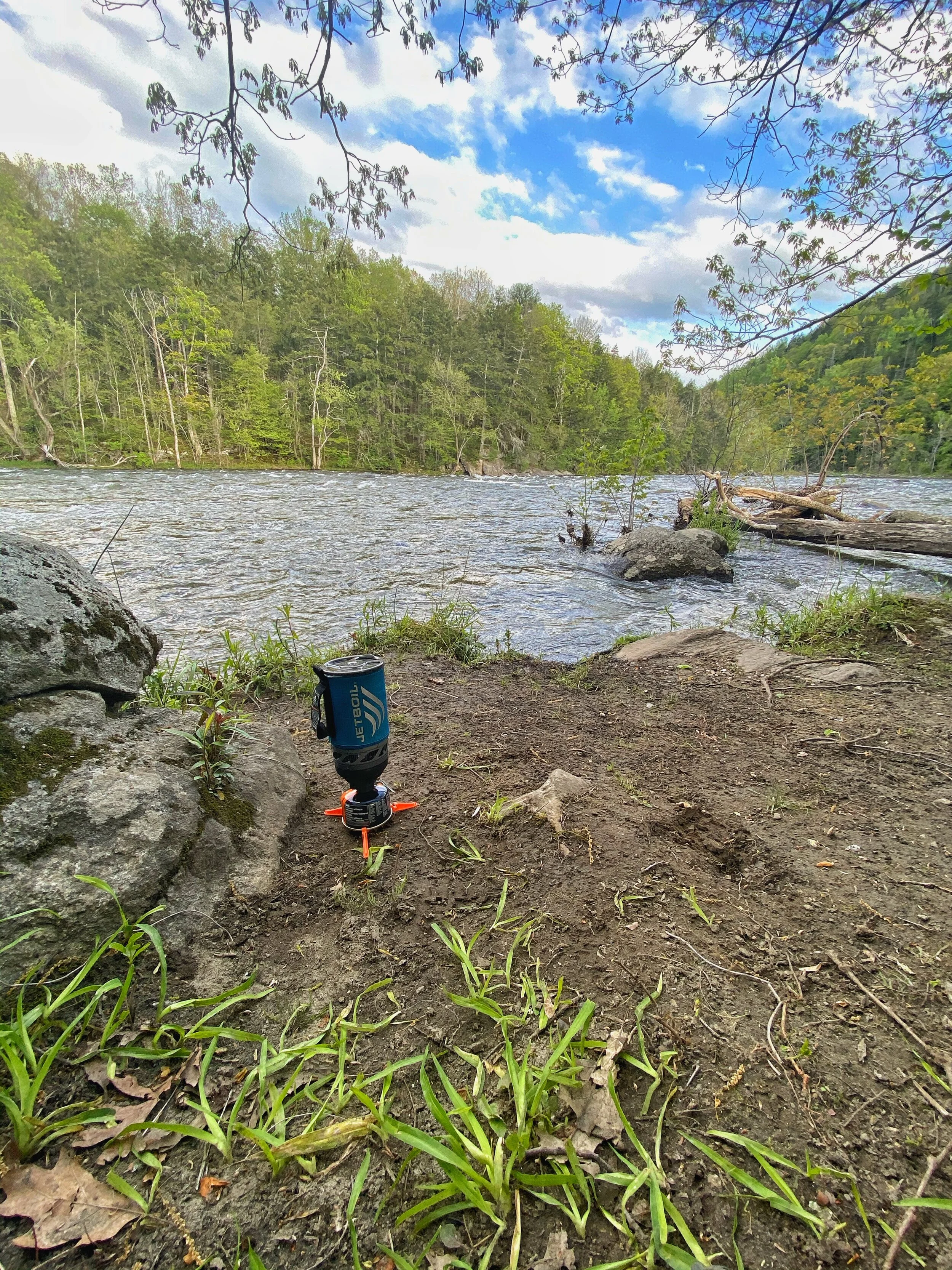
The shelters and camping areas in Connecticut typically all have a privy, bear-box, and a water source. There are plenty of water sources during these miles so you don’t need to carry that much water (win!).
Here’s the overview of how we tackled the first 16.2 miles in Connecticut in a quick 2.5 day trip.
Day One: 0.0 Hoyt Rd to 3.0 Ten Mile River
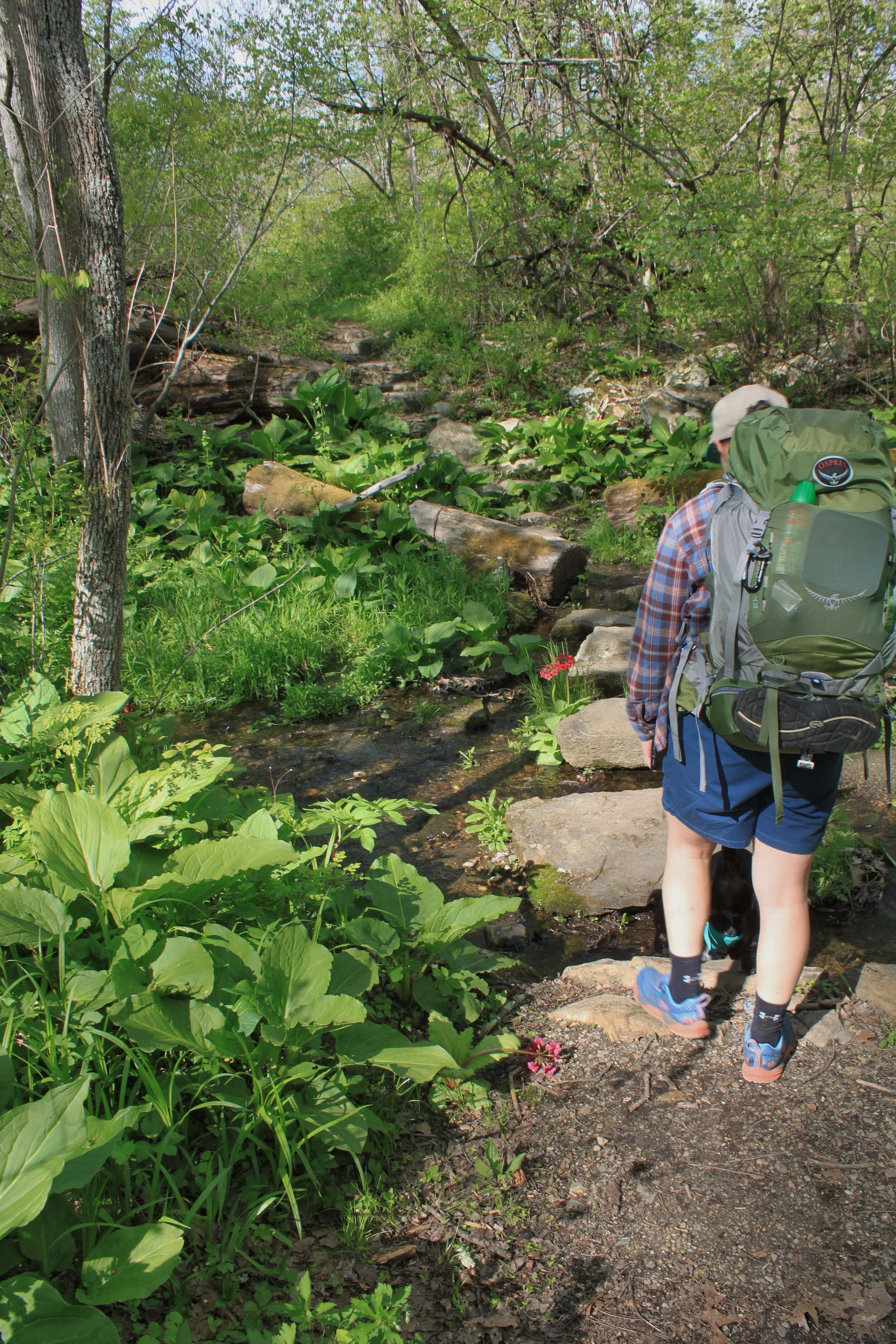
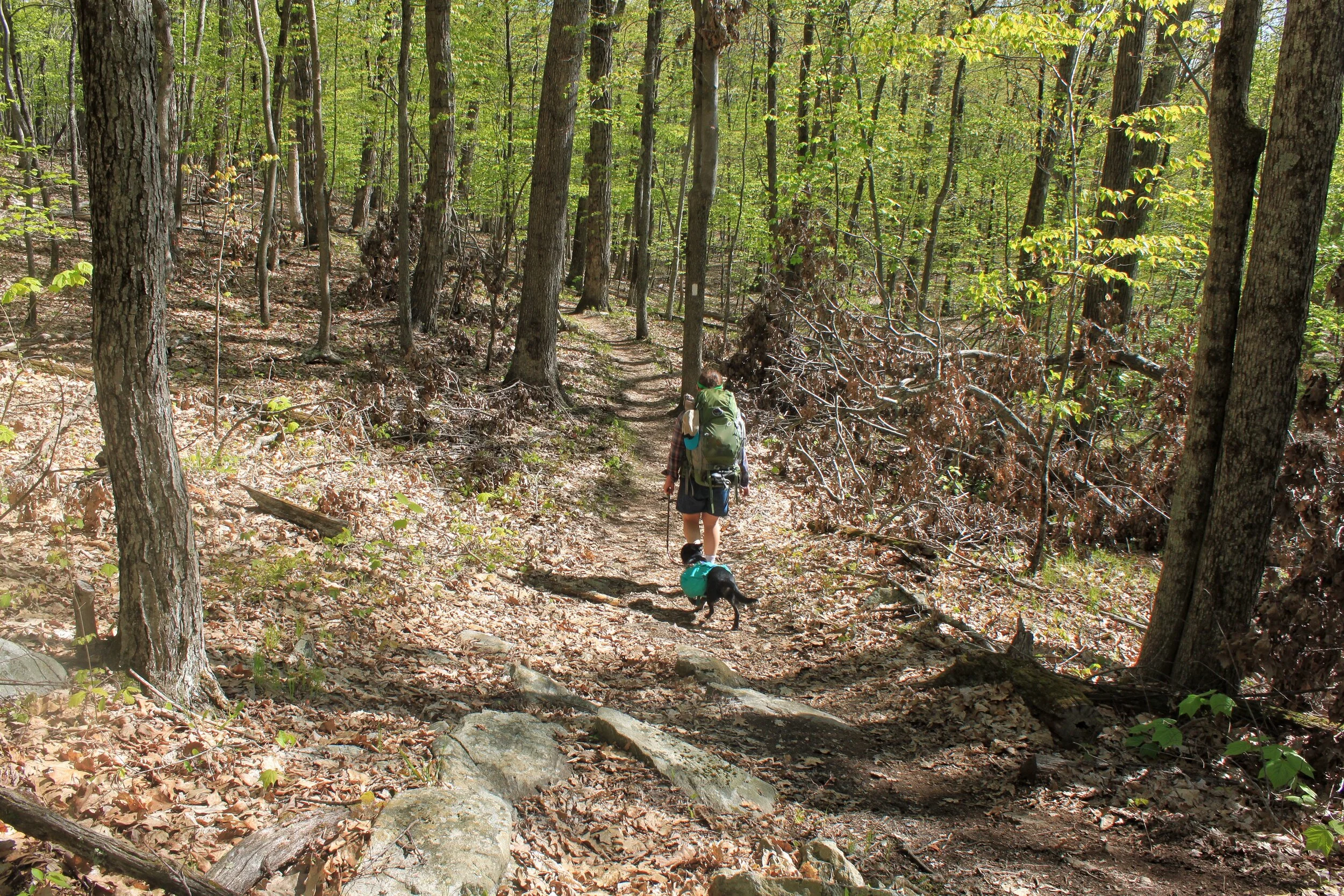
We started our hike around 4:30 to head to the campsite. The first three miles are an easy warmup for the trip with only 640ft in elevation gain.
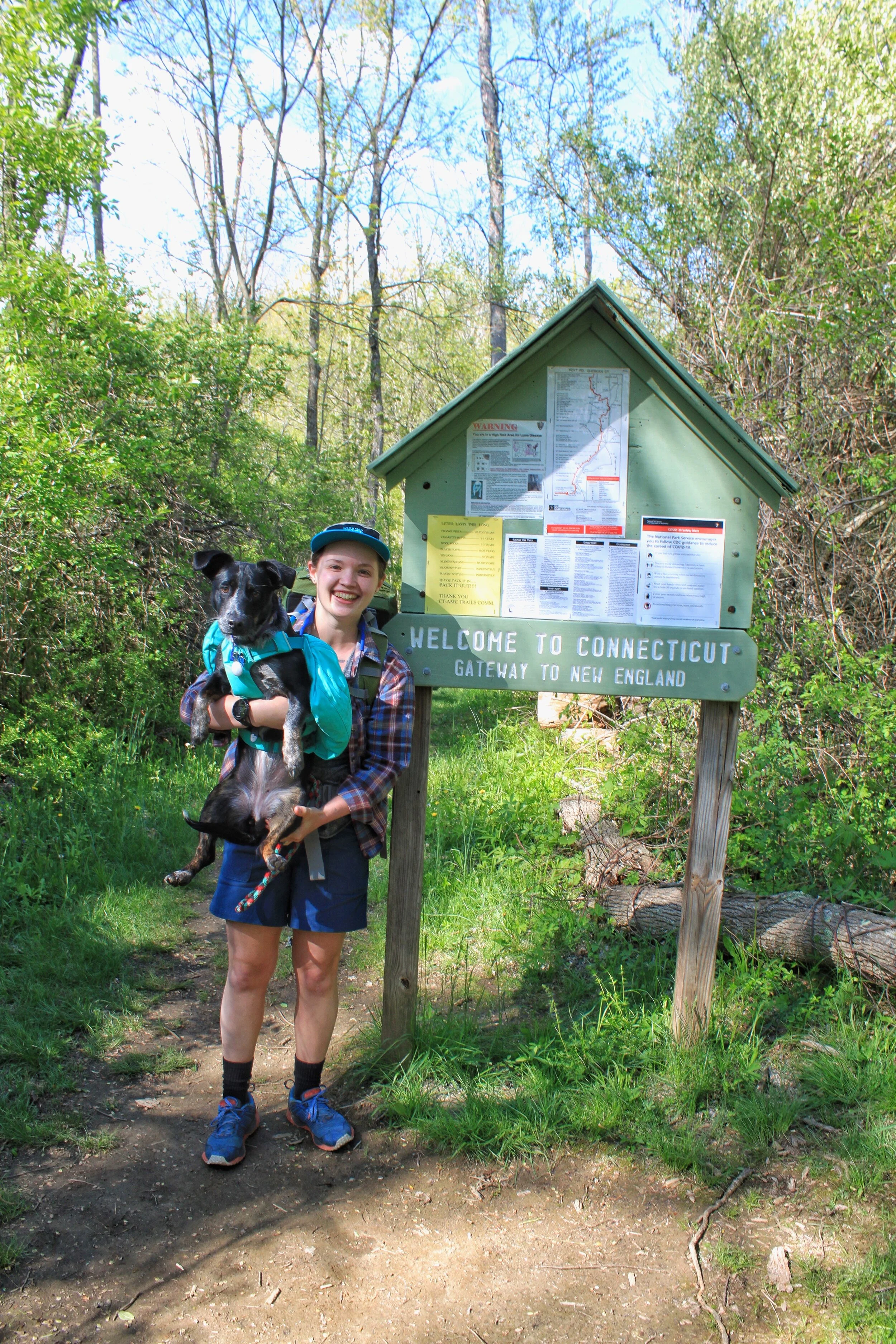
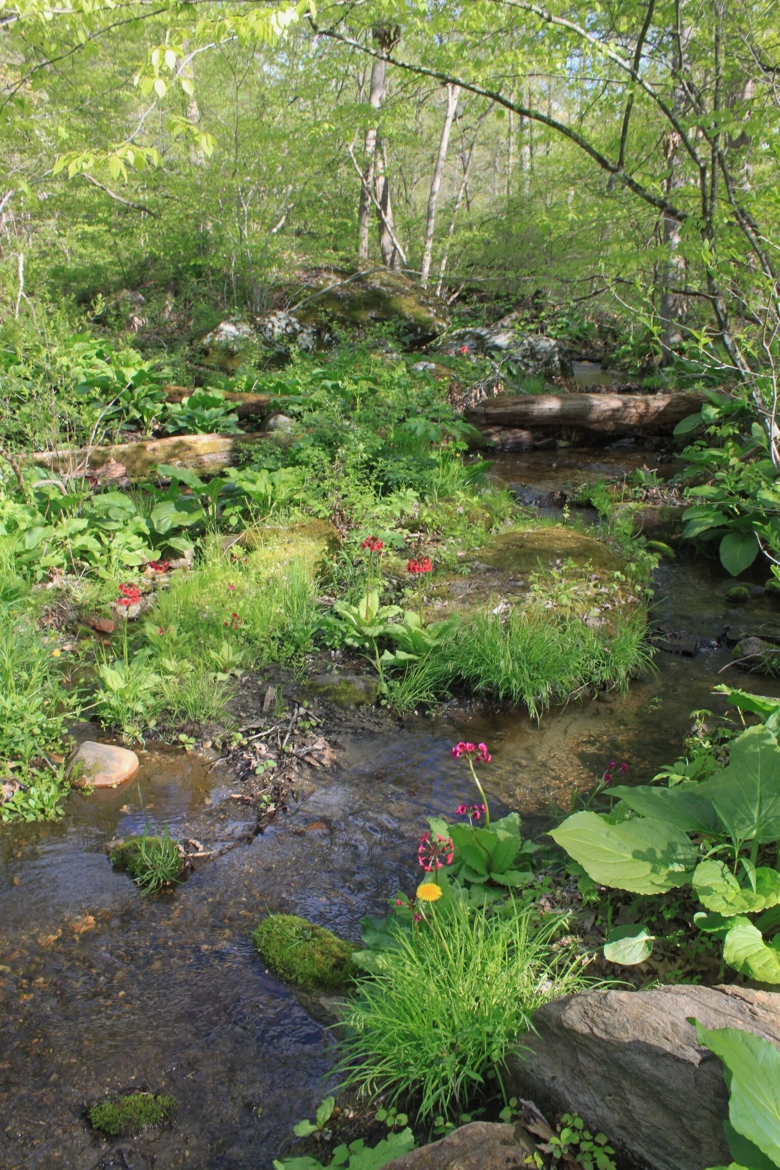
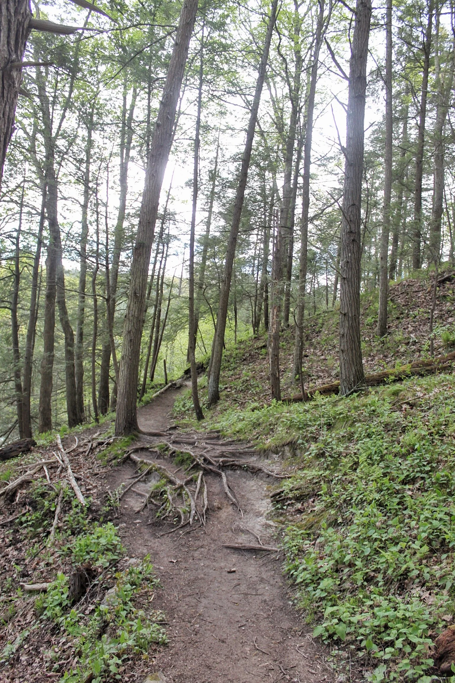
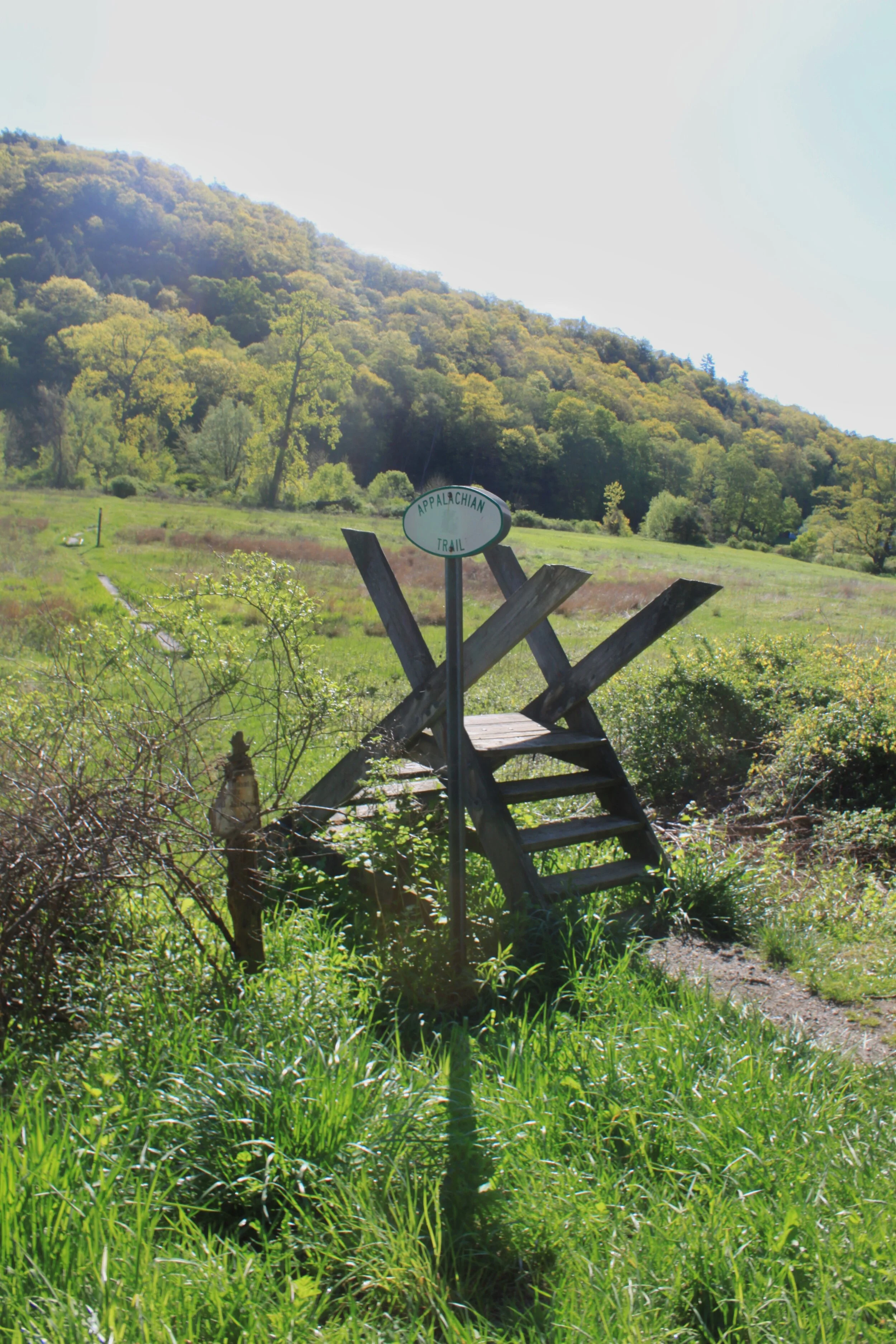
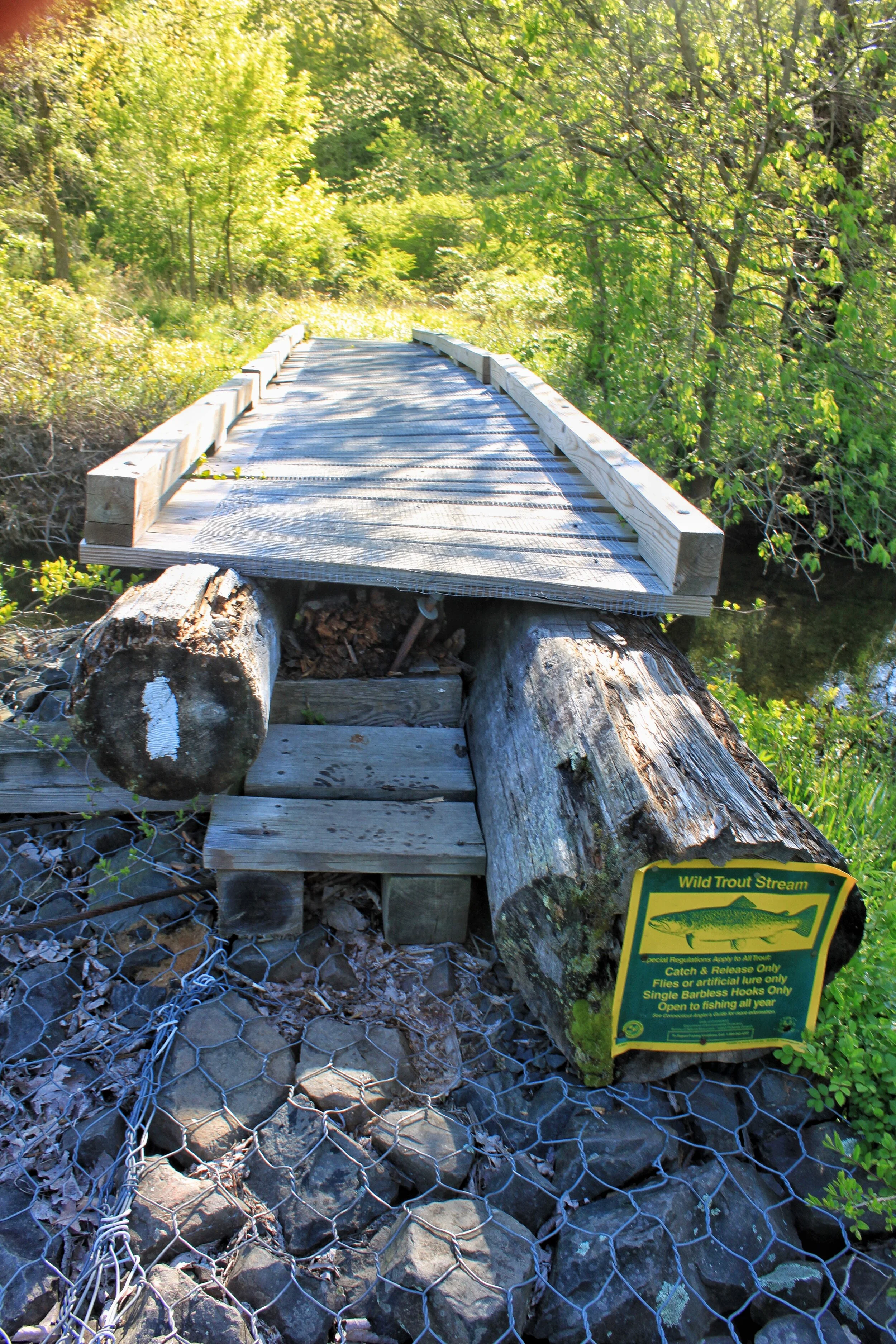
Connecticut welcomes you with a flat start through marshland and a few stream crossings.
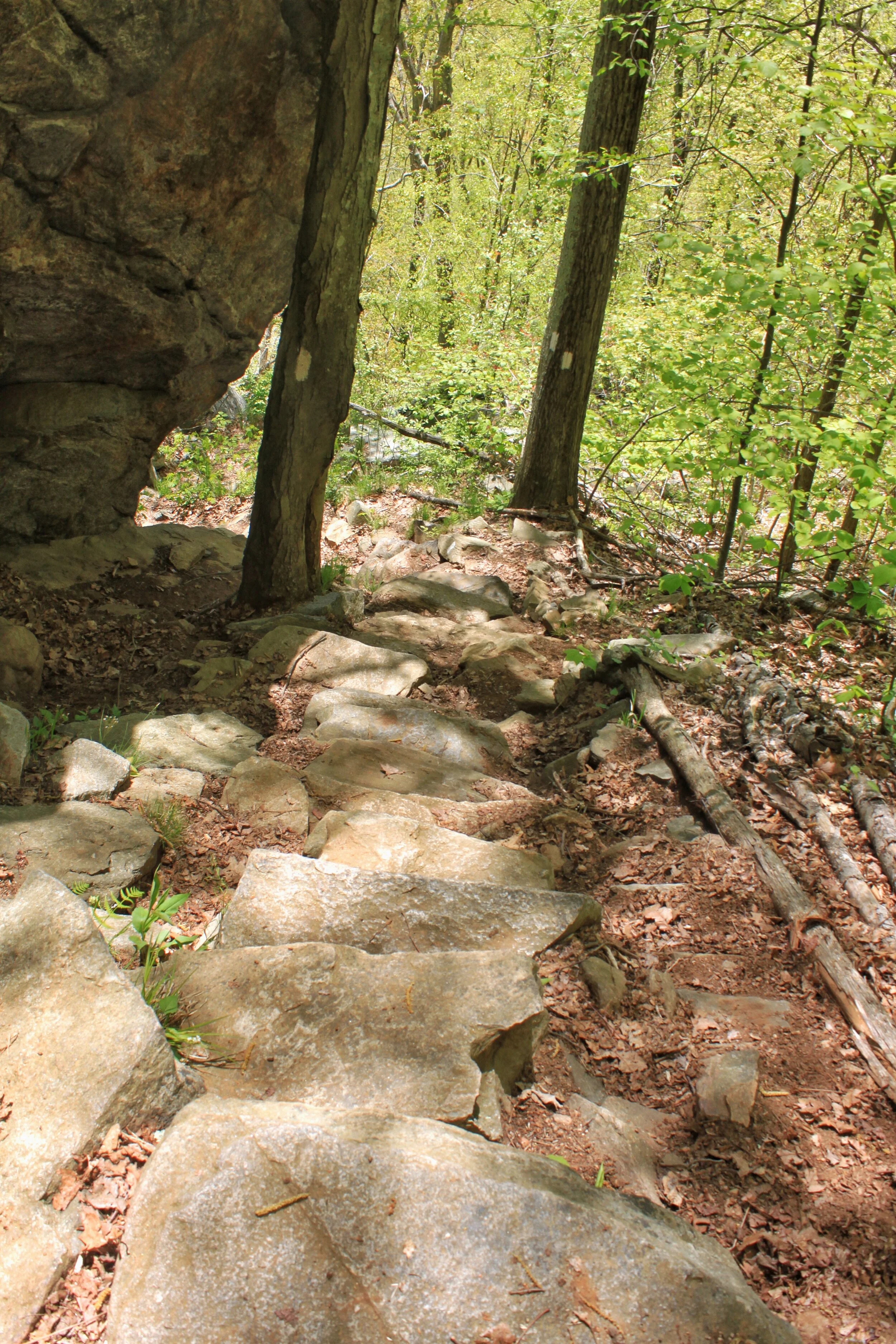
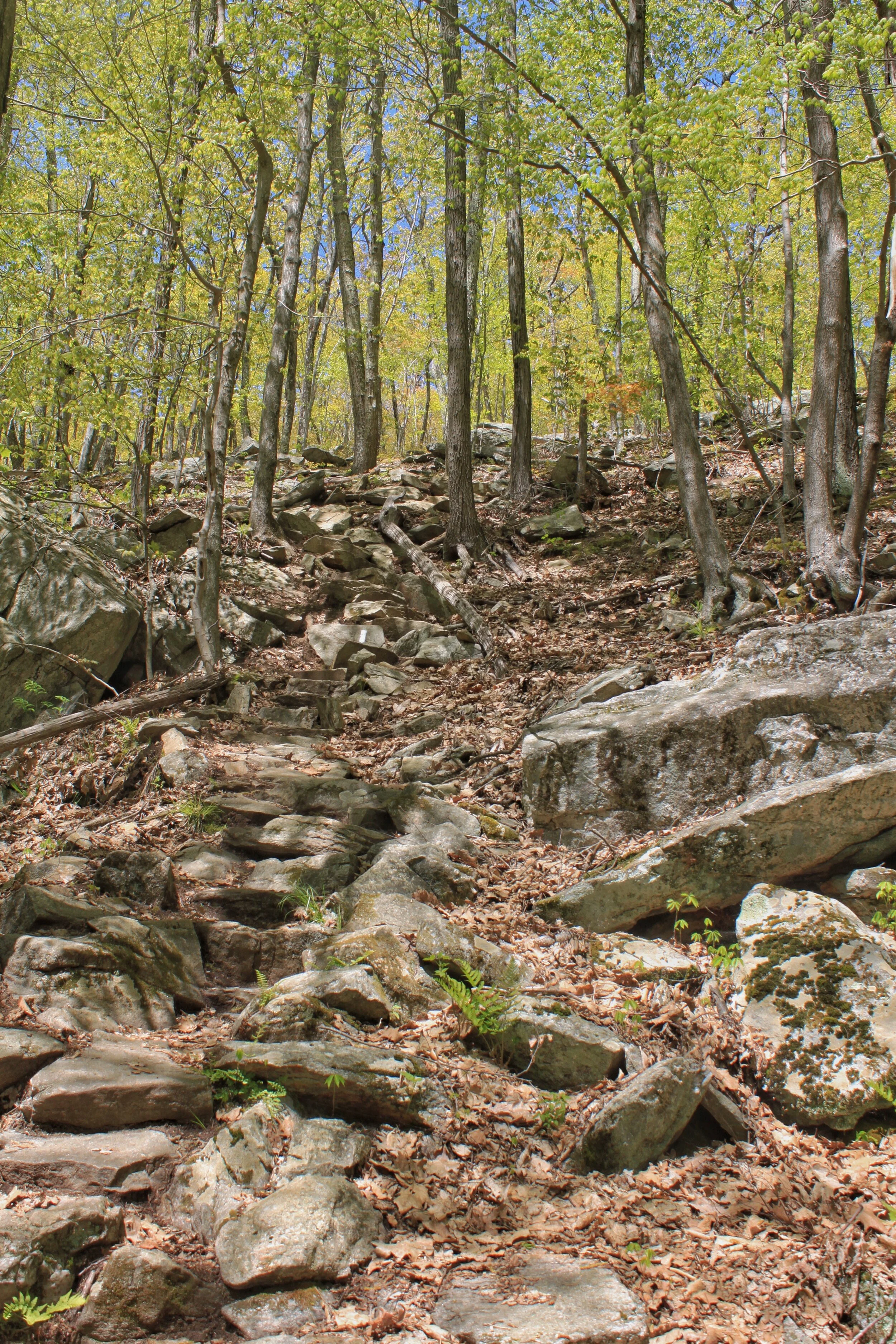
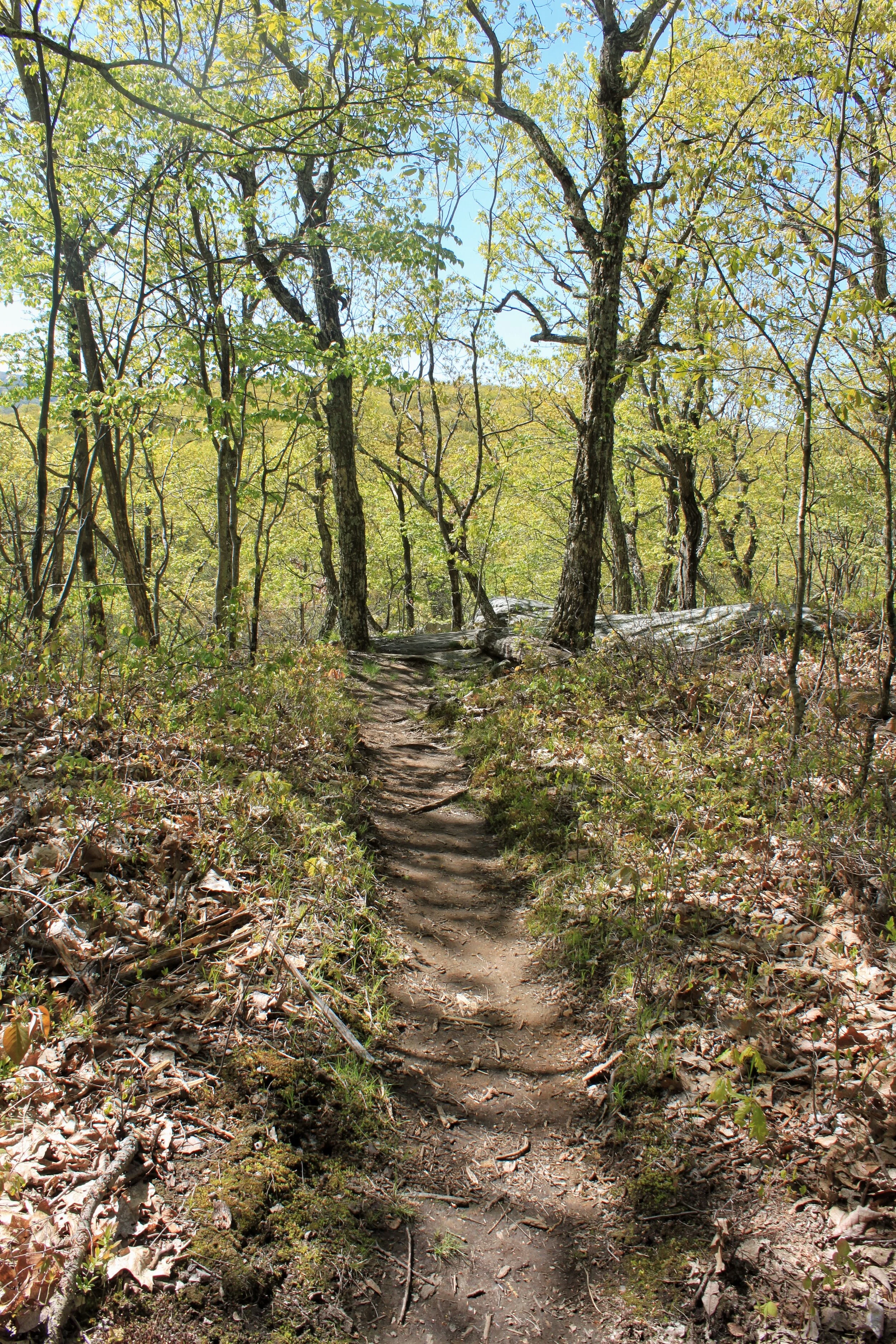
You enjoy a couple more areas of slow elevation gain and descent before starting a small climb up Ten Mile Hill.

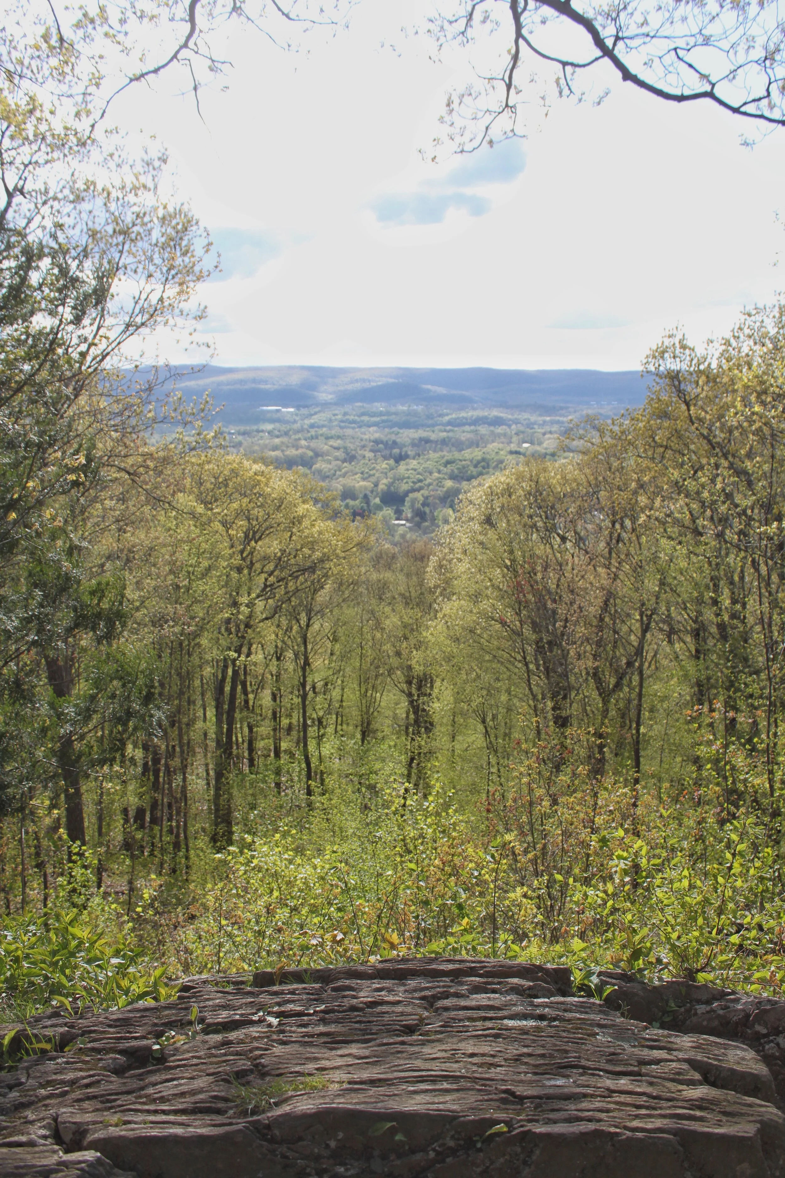
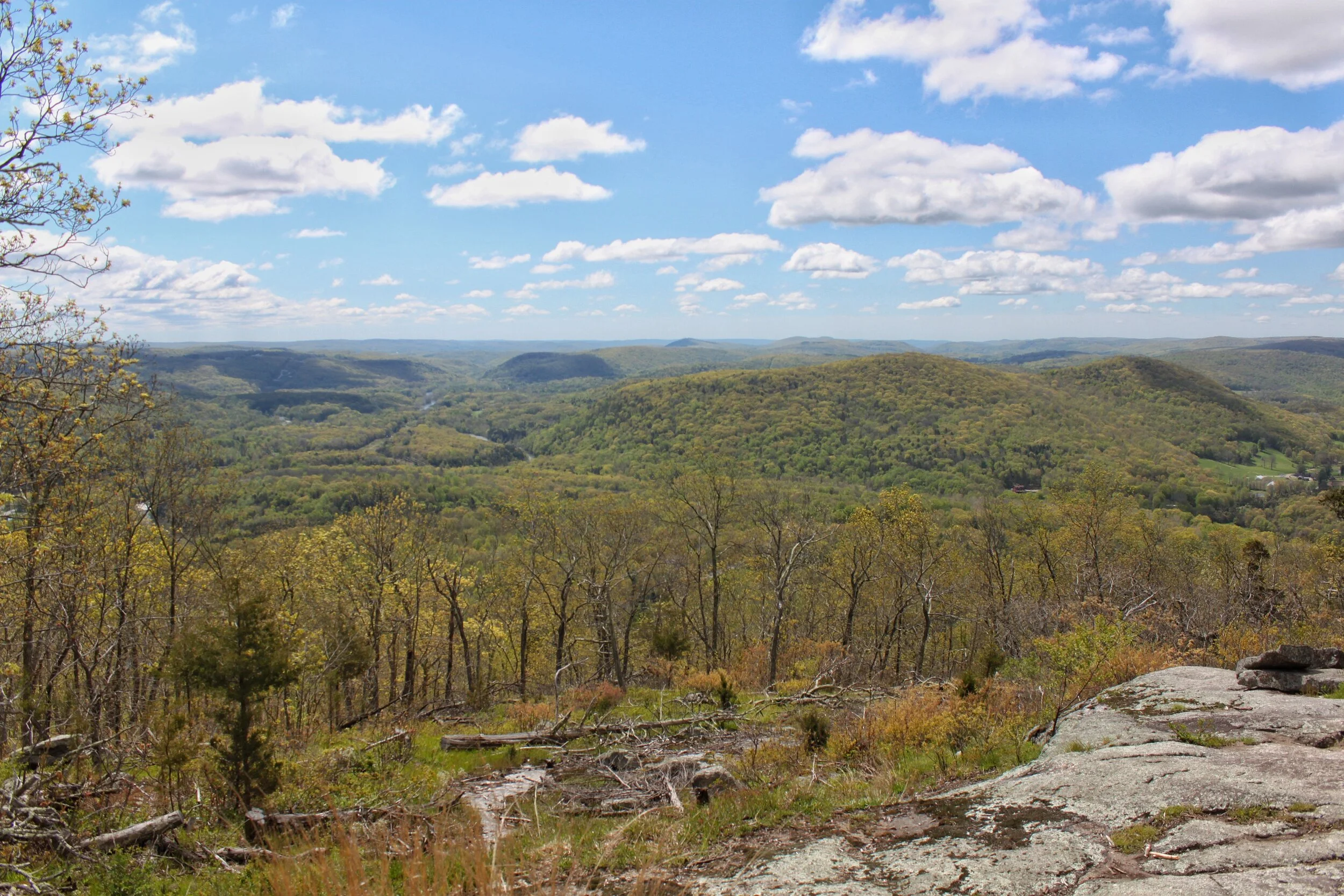
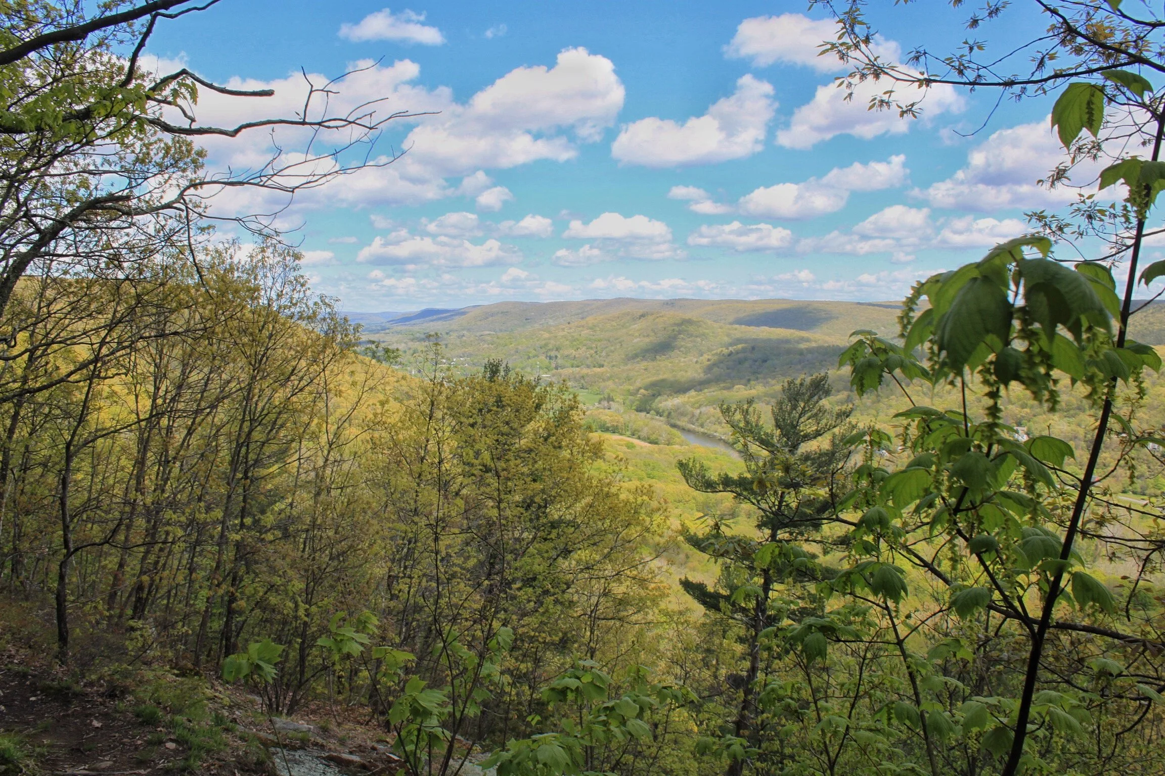
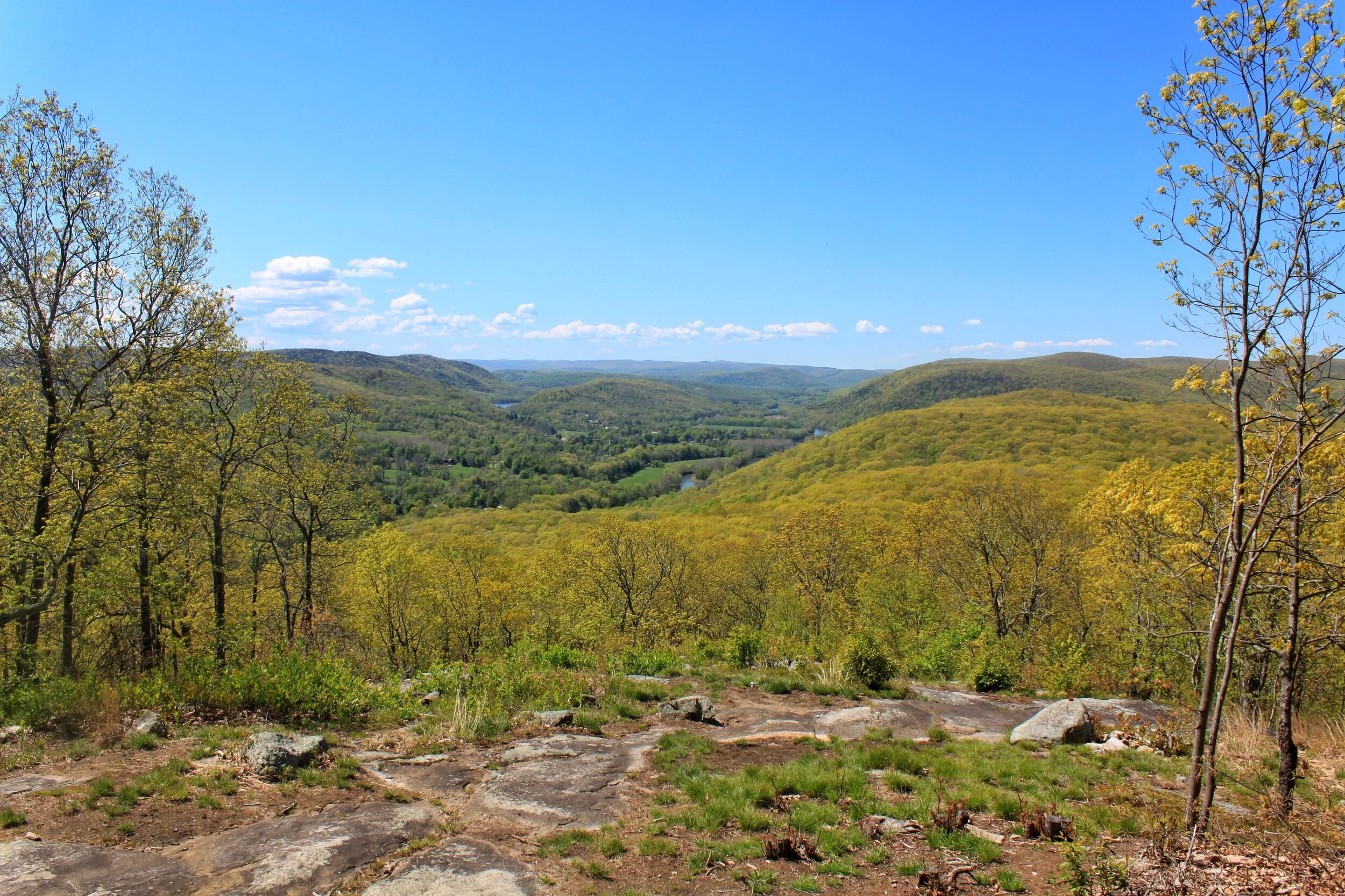
Once you reach Ten Mile Hill you get your first view in Connecticut
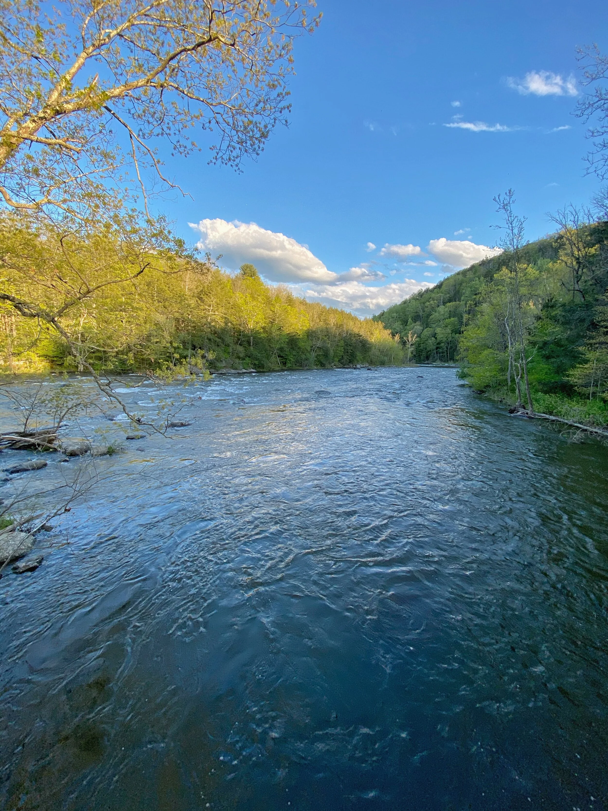
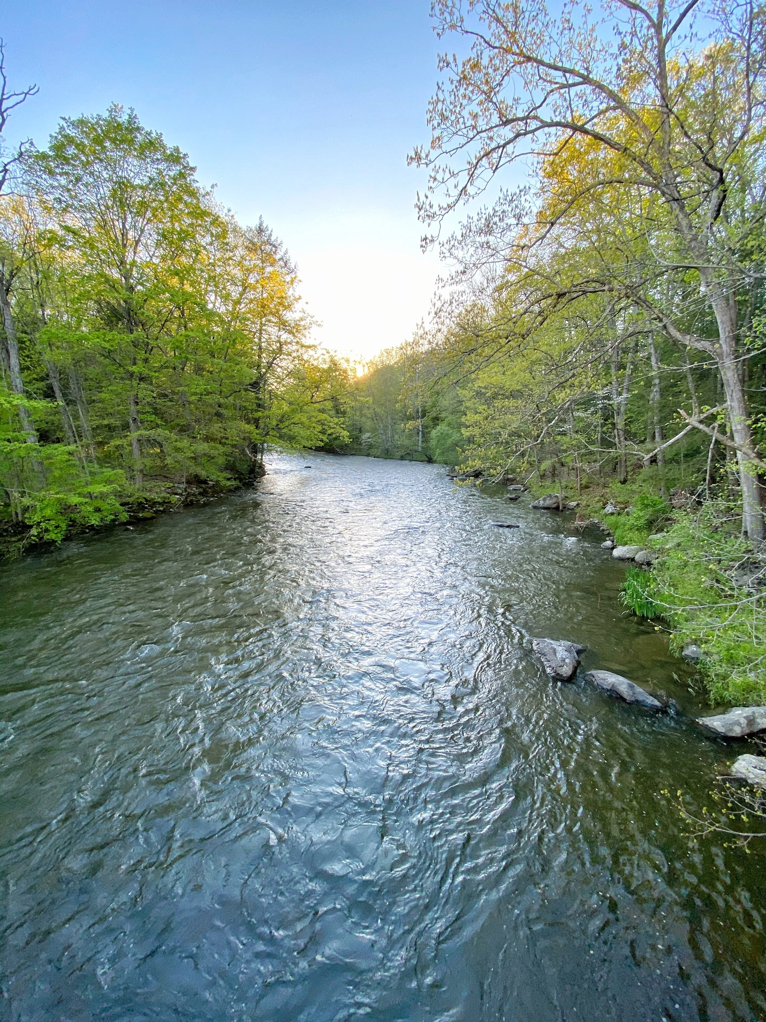
From here you descend down to the Housatonic River and to Ten Mile Hill Campsite
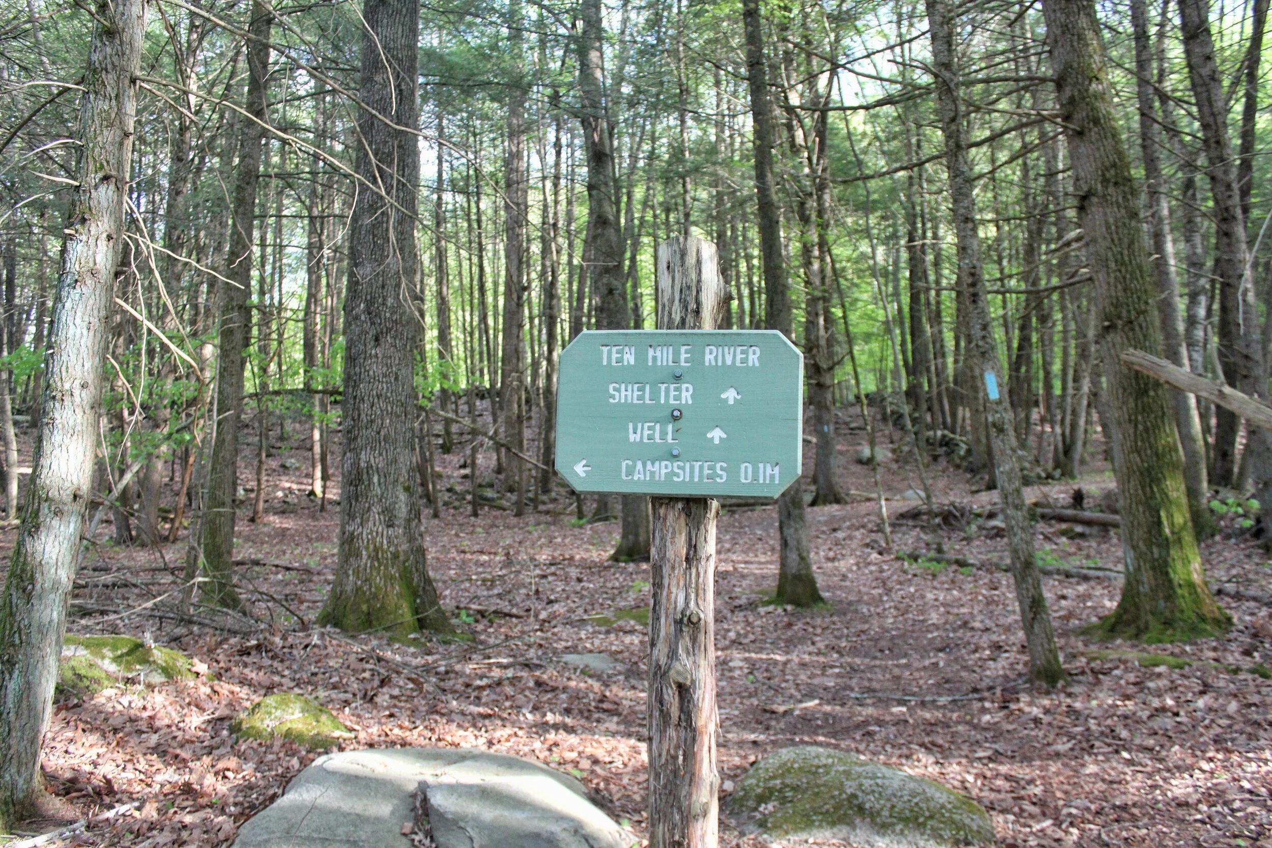
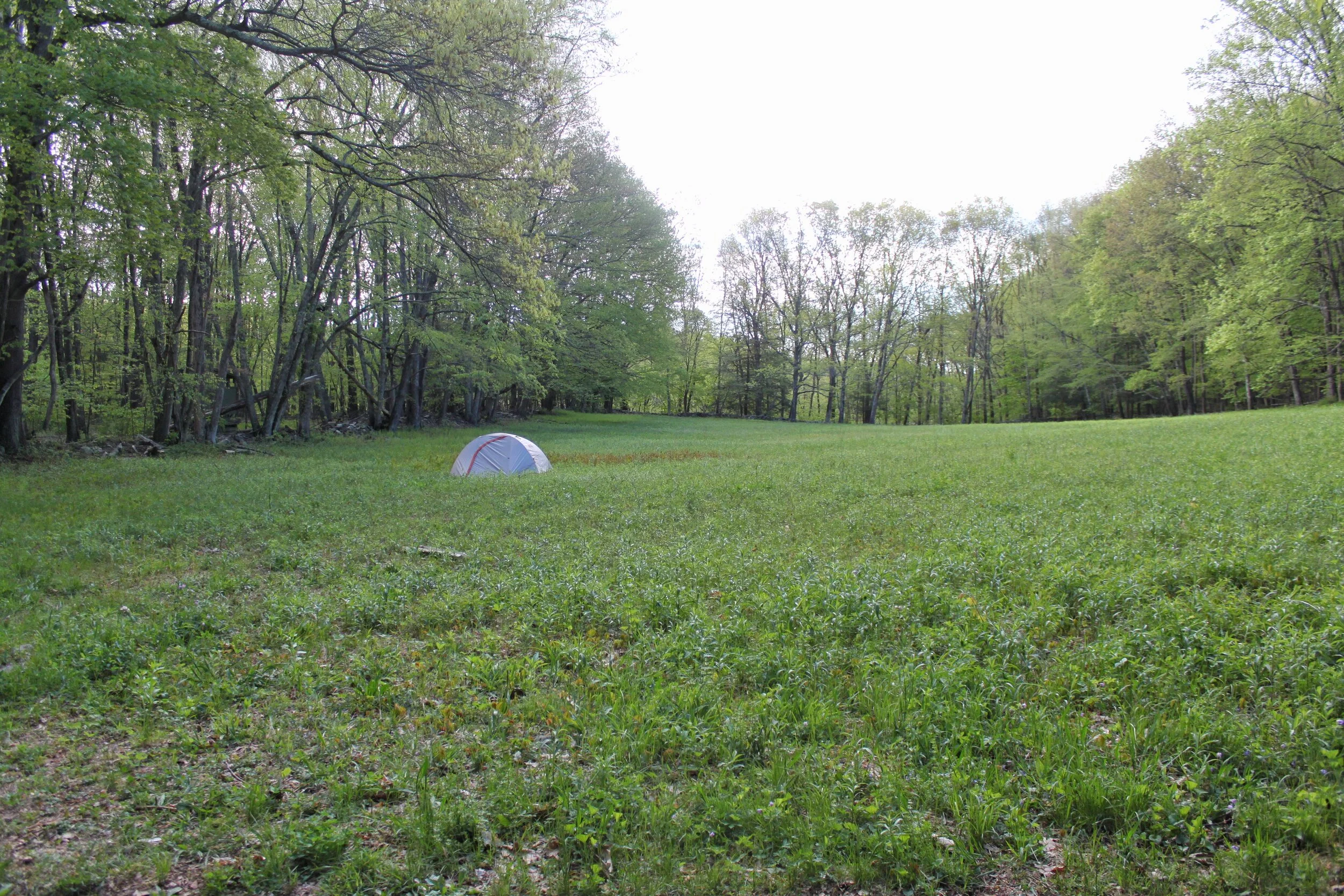
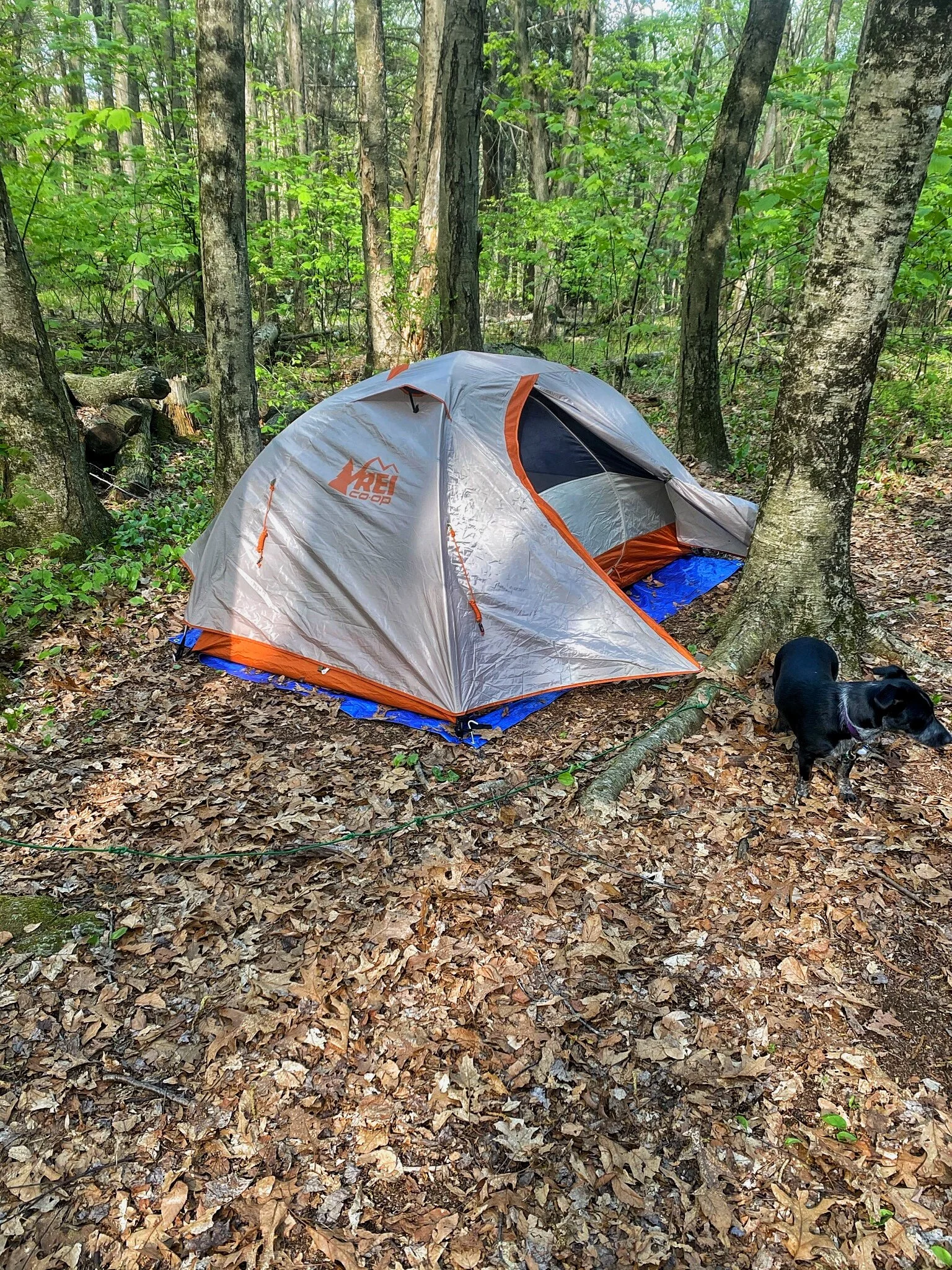
You can choose from a shelter, a large open field adjacent to the shelter, or several campsites. When we arrived the campsites were full so we set up our tent in the field. The Shelter has a water pump, bear-box, and privy. Not to mention amazing views of the Housatonic River.
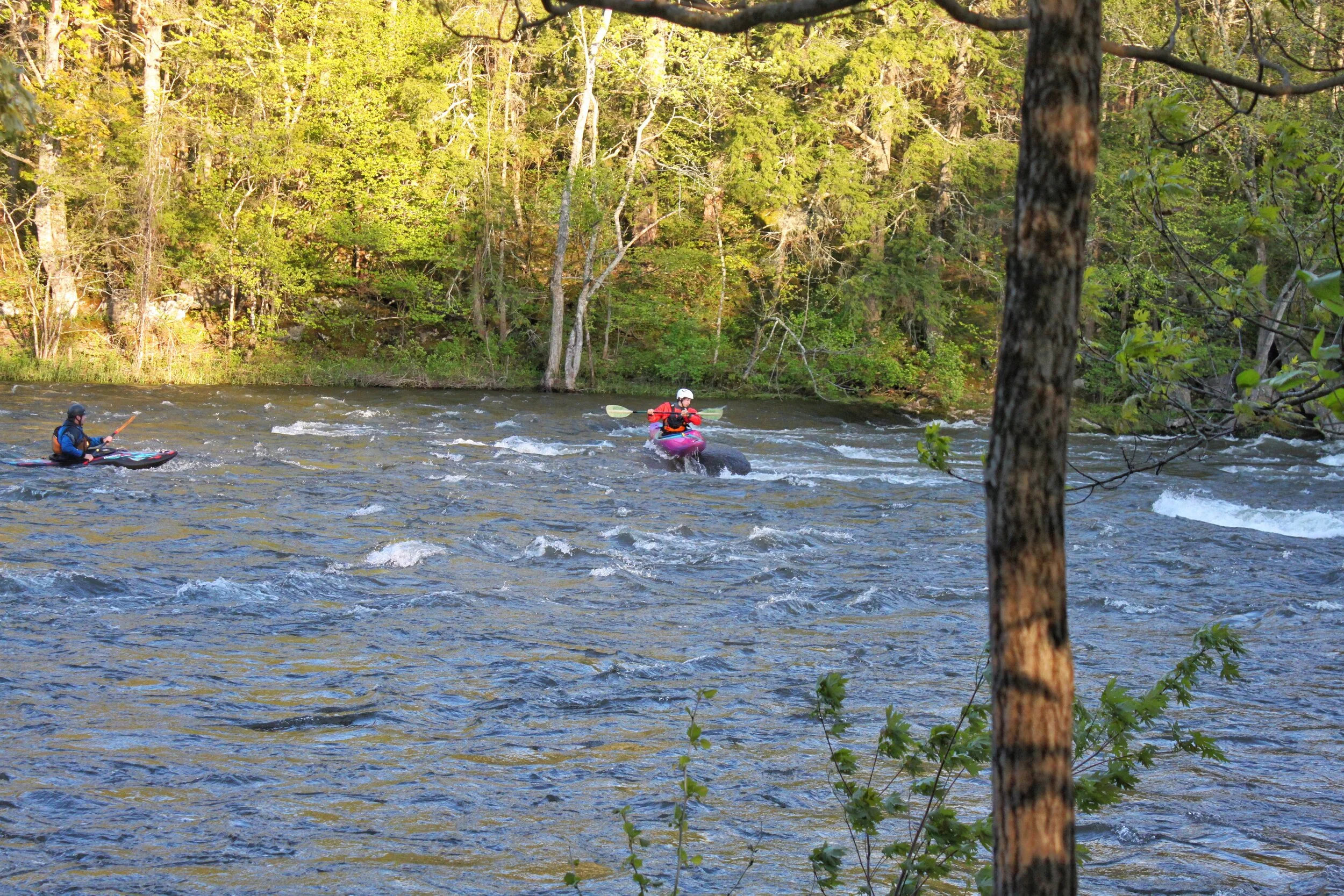
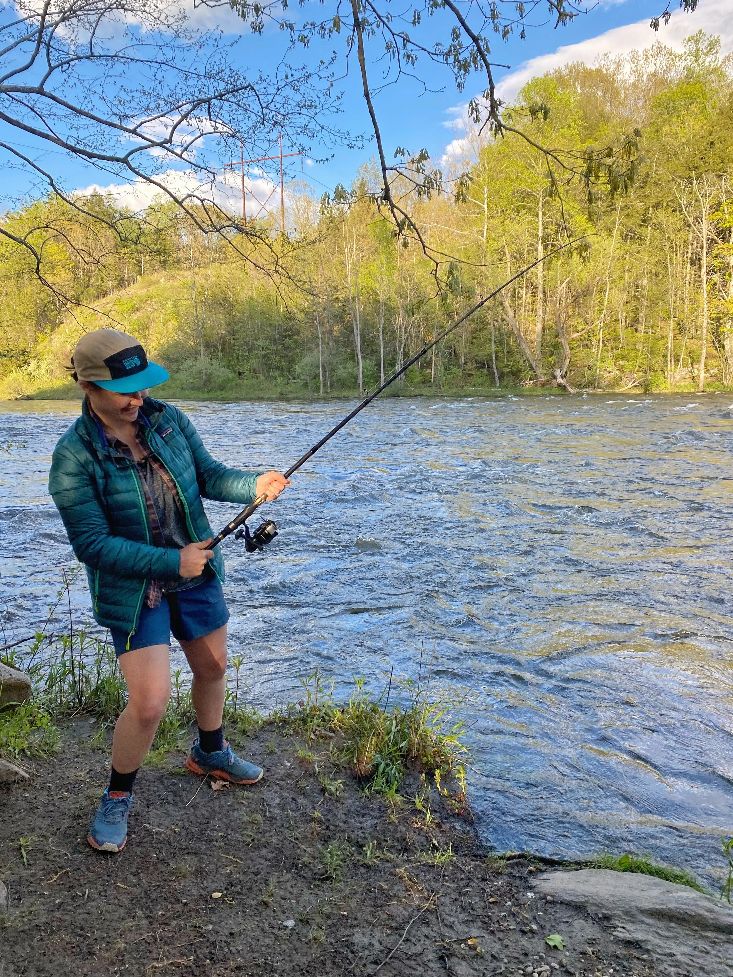
As we were cooking our dinner that night we had free entertainment when a group of Whitewater Kayakers passed through. Leah had packed out her fishing pole so as we cooked dinner Leah dropped a line in.
DAY TWO: 3.0 TEN MILE RIVER - 11.2 MT. ALGO (8.2 MILES TOTAL)

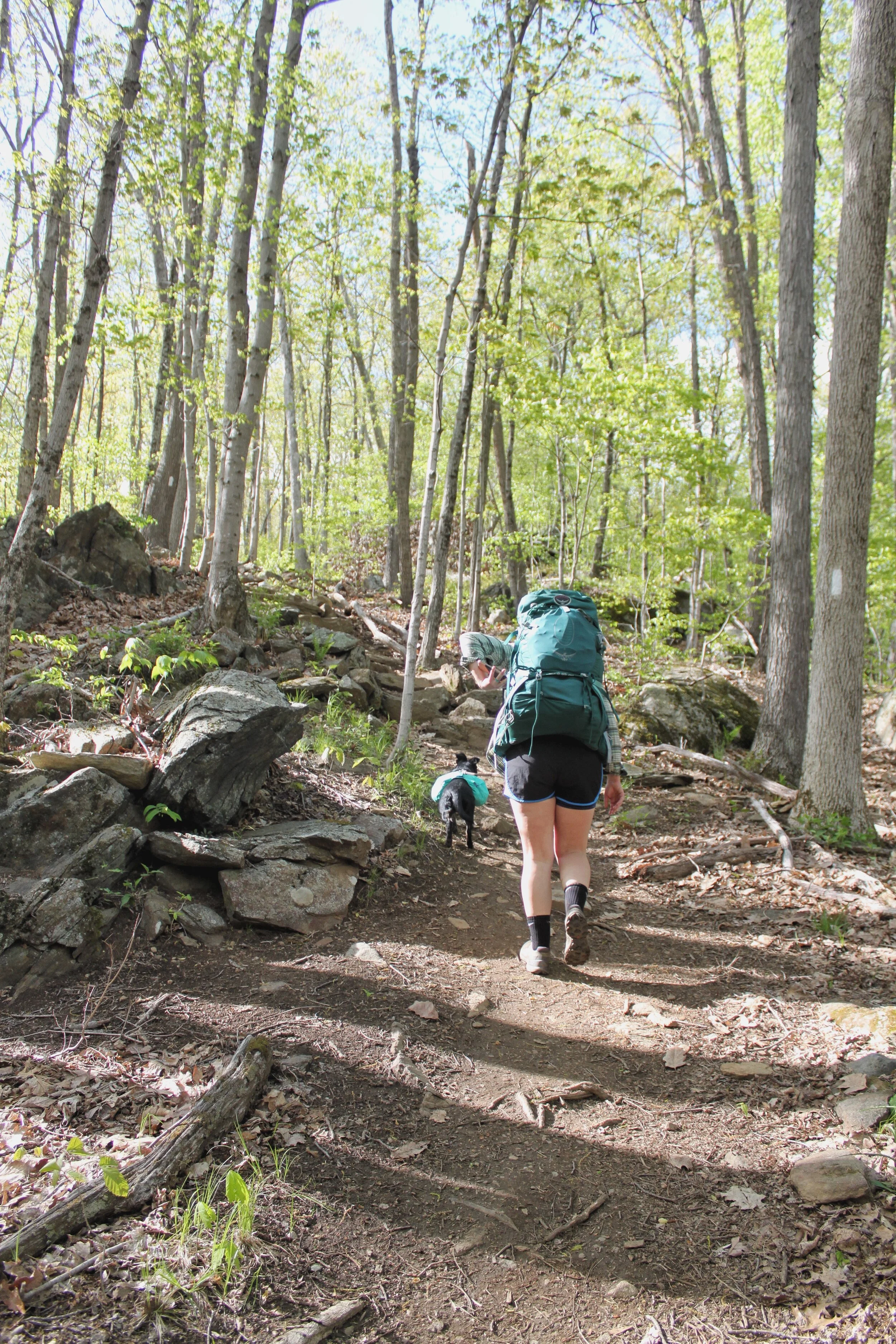
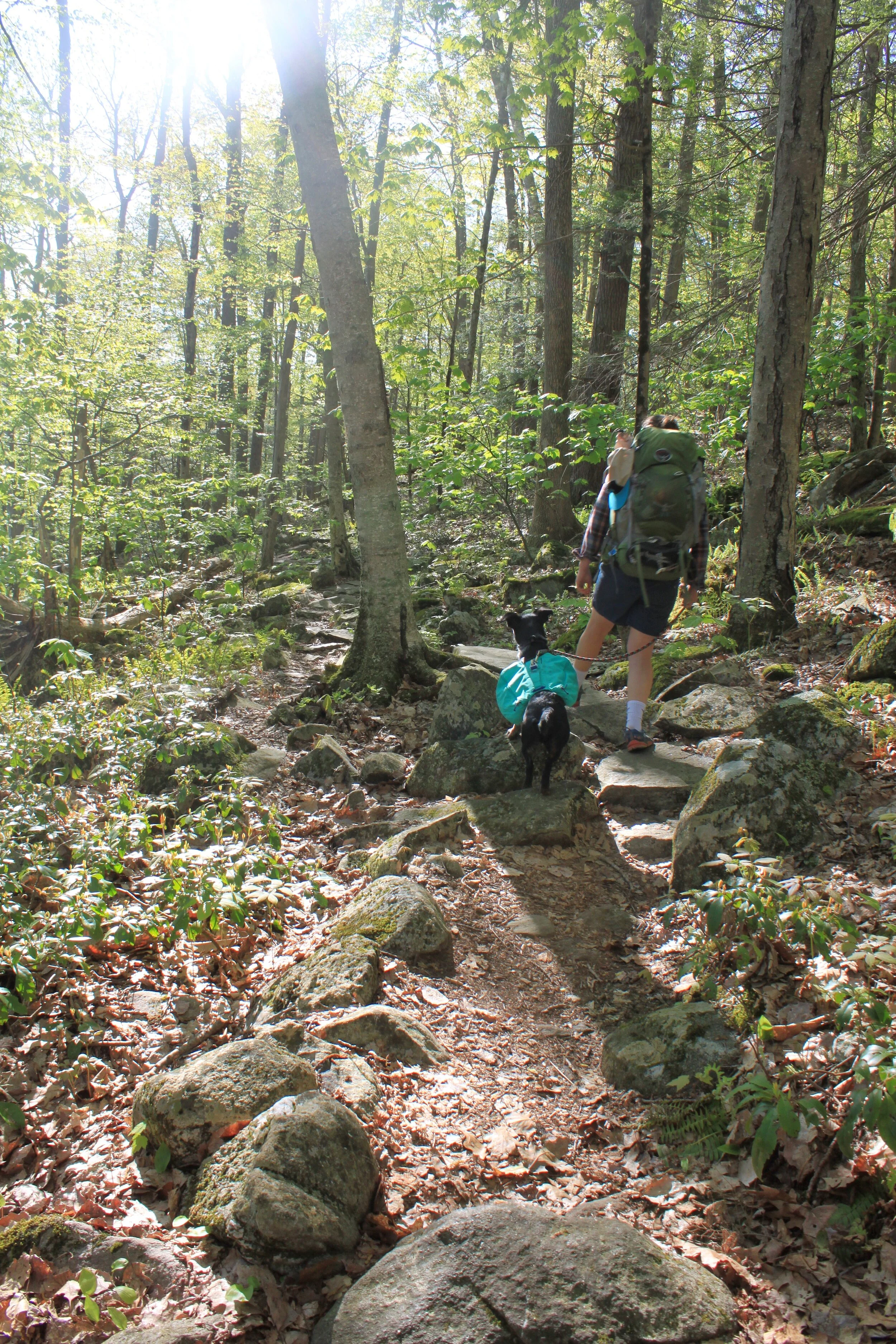
Day two started with an early wake-up. We packed up camp, snagged some coffee and breakfast, and headed out to start the day.
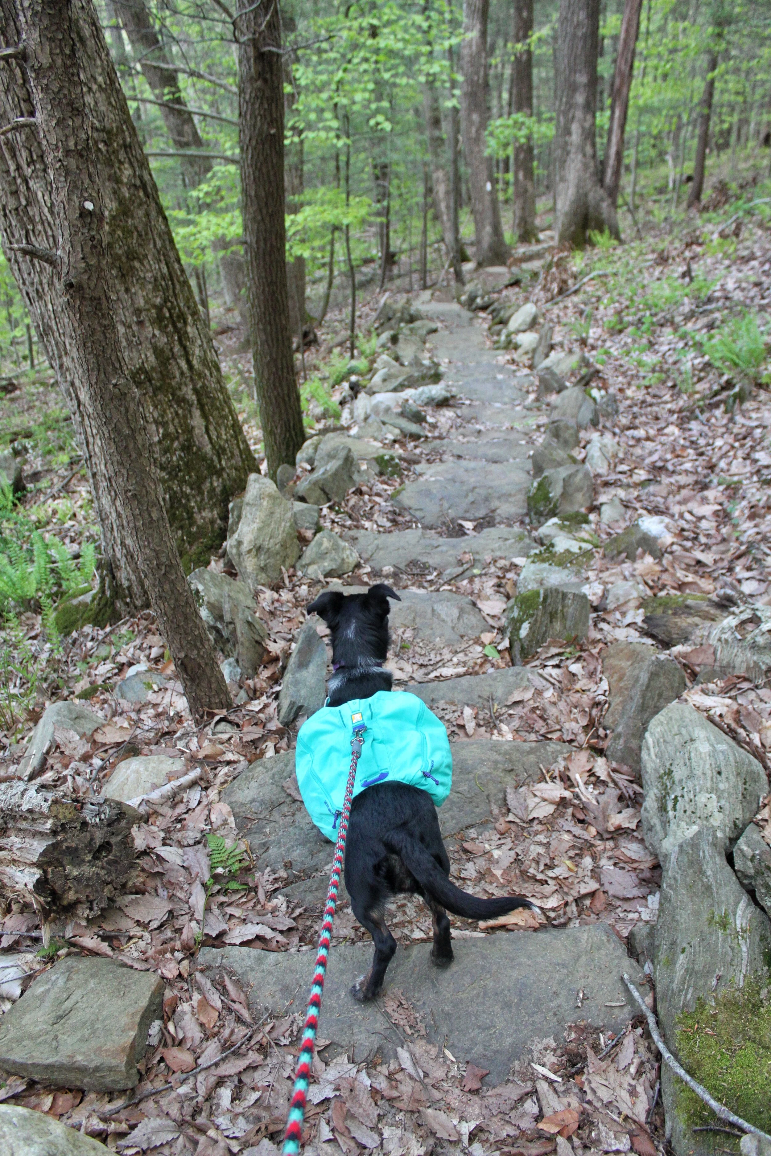
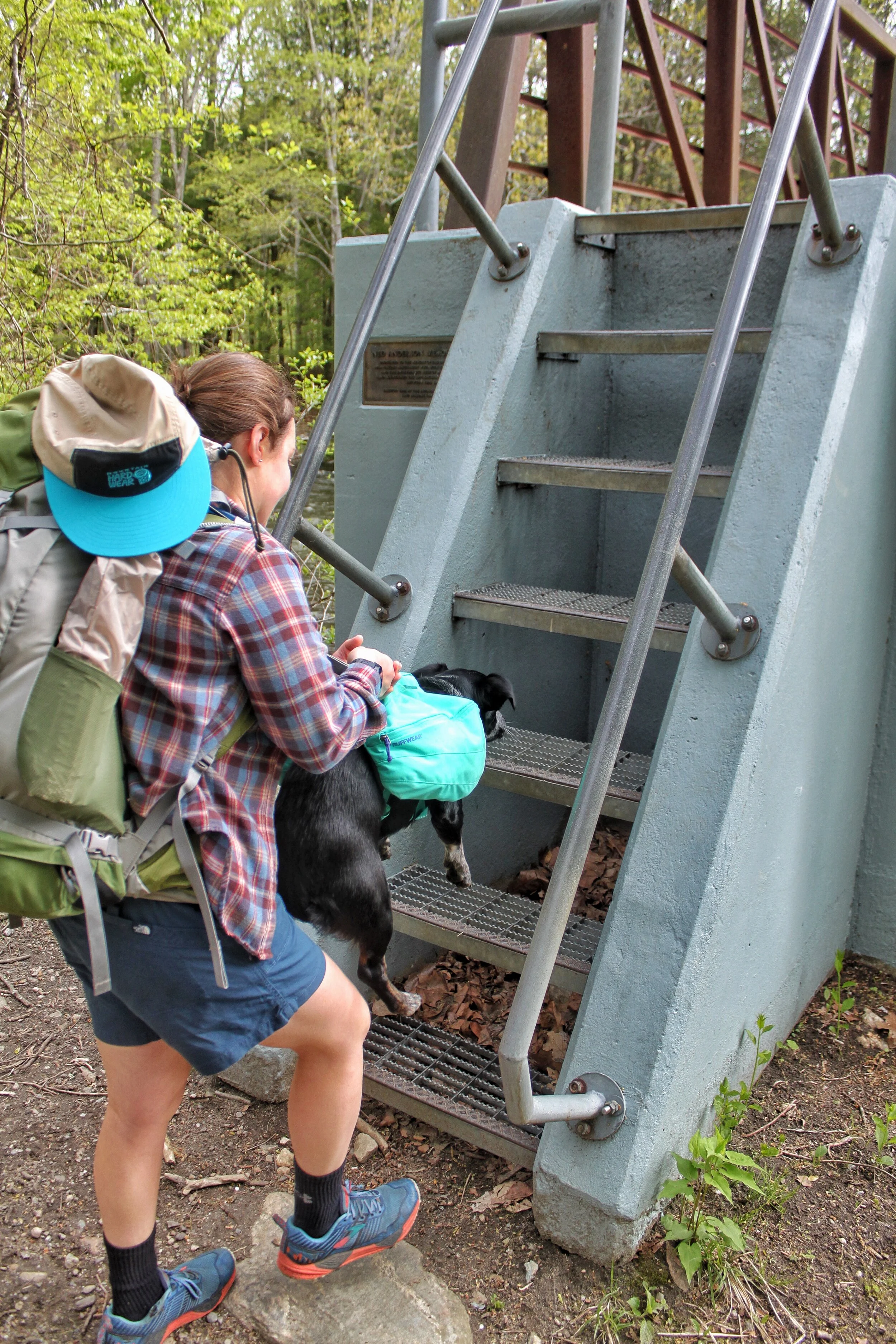
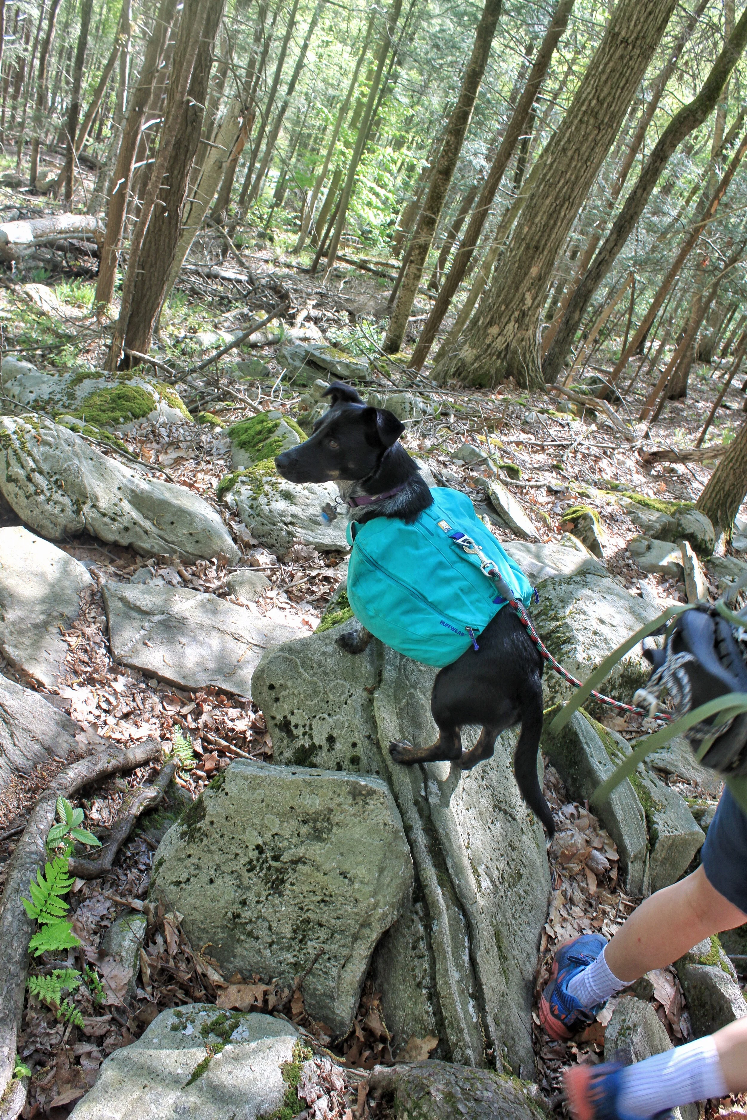
You leave the camping area and cross a bridge over the Housatonic River. If you have a dog the steps up to the bridge are quite steep and our pup wasn’t able to get up them. The first of many times we were grateful for her RuffWear pack and the built-in handle.
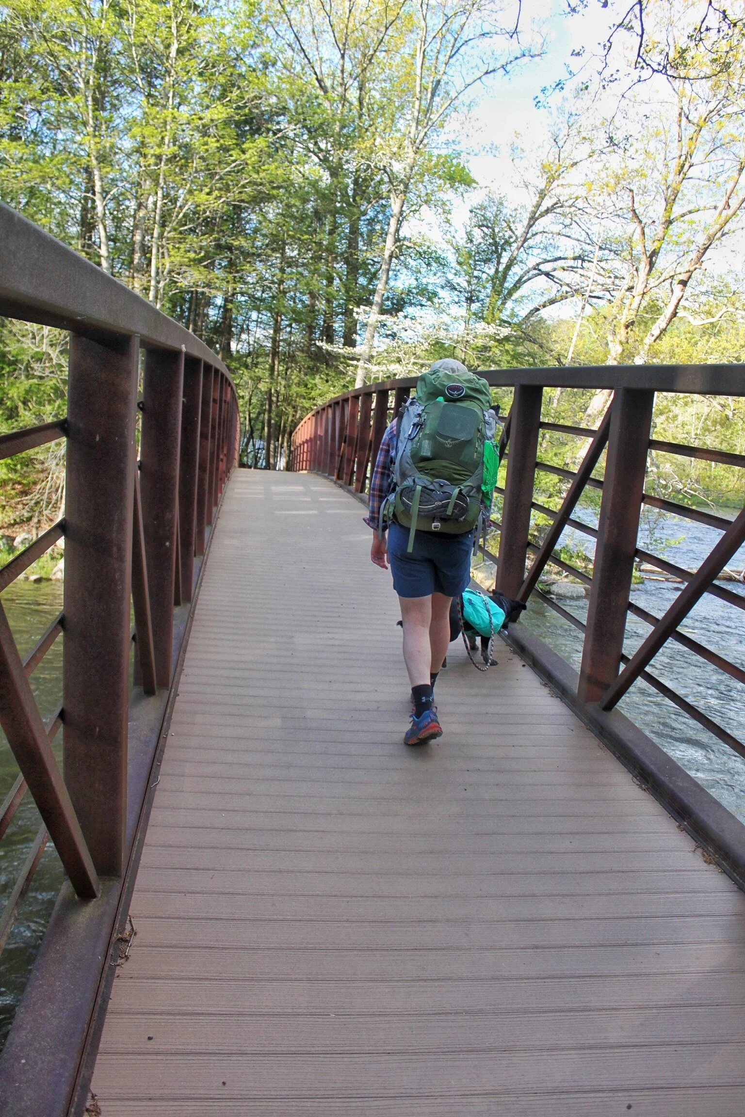
After you cross the bridge you walk along the Housatonic River for about a mile before you exit the woods and walk Schaghticoke Rd.
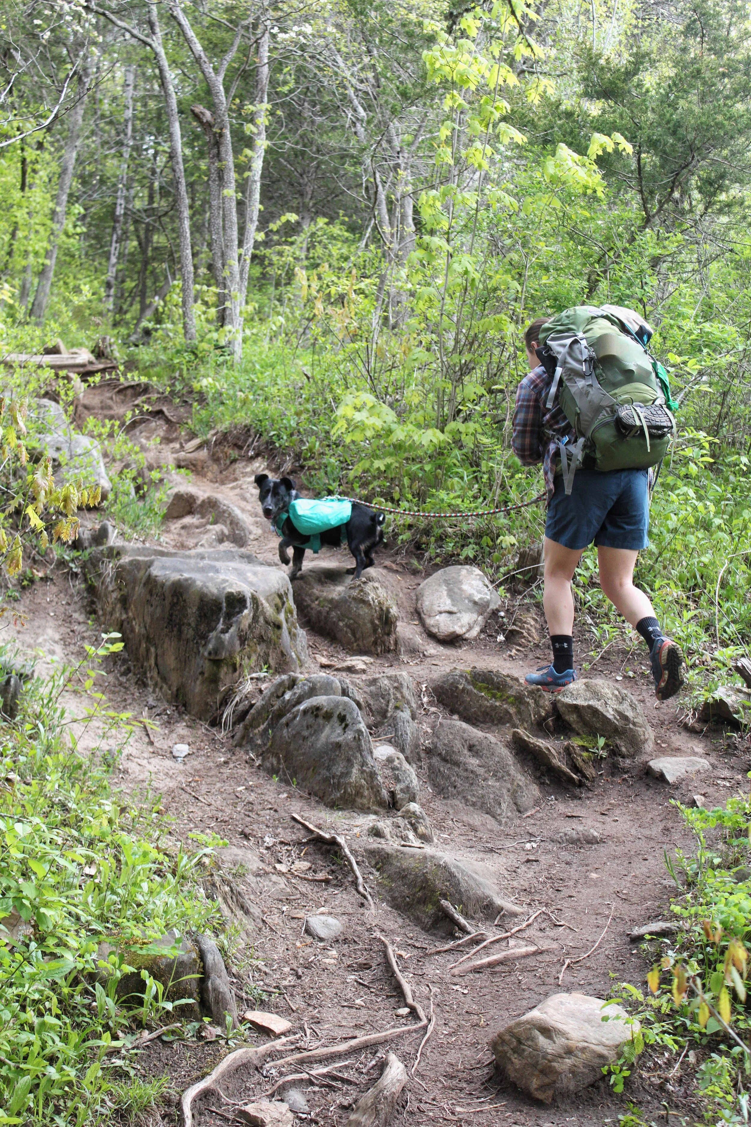
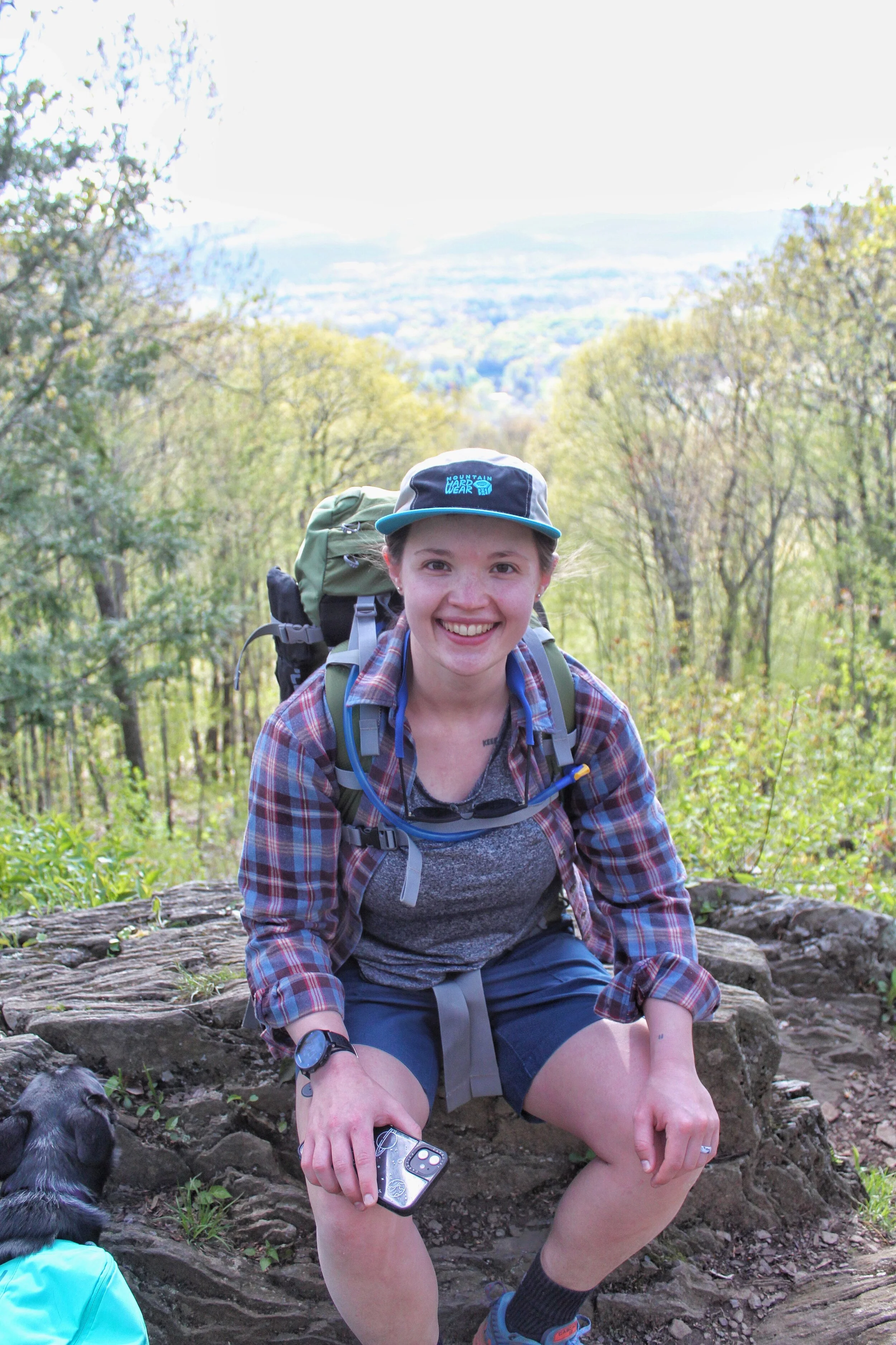
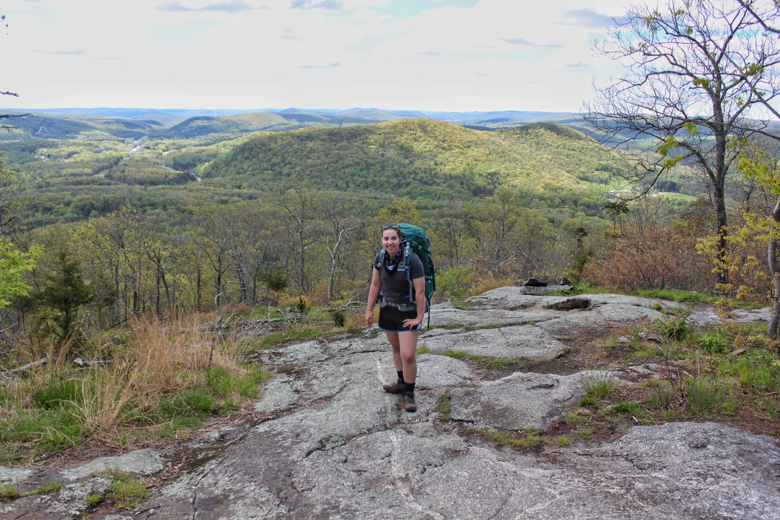
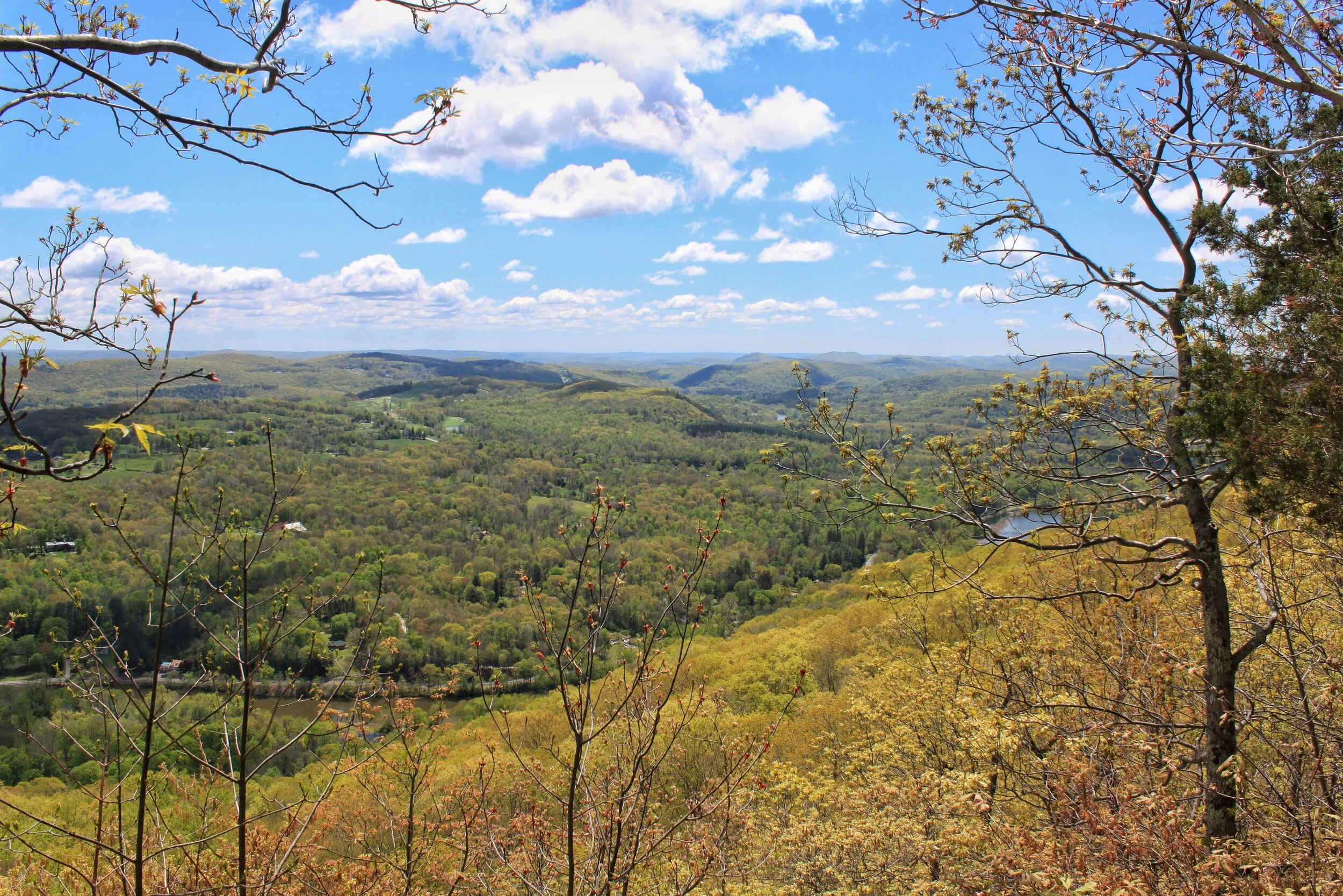
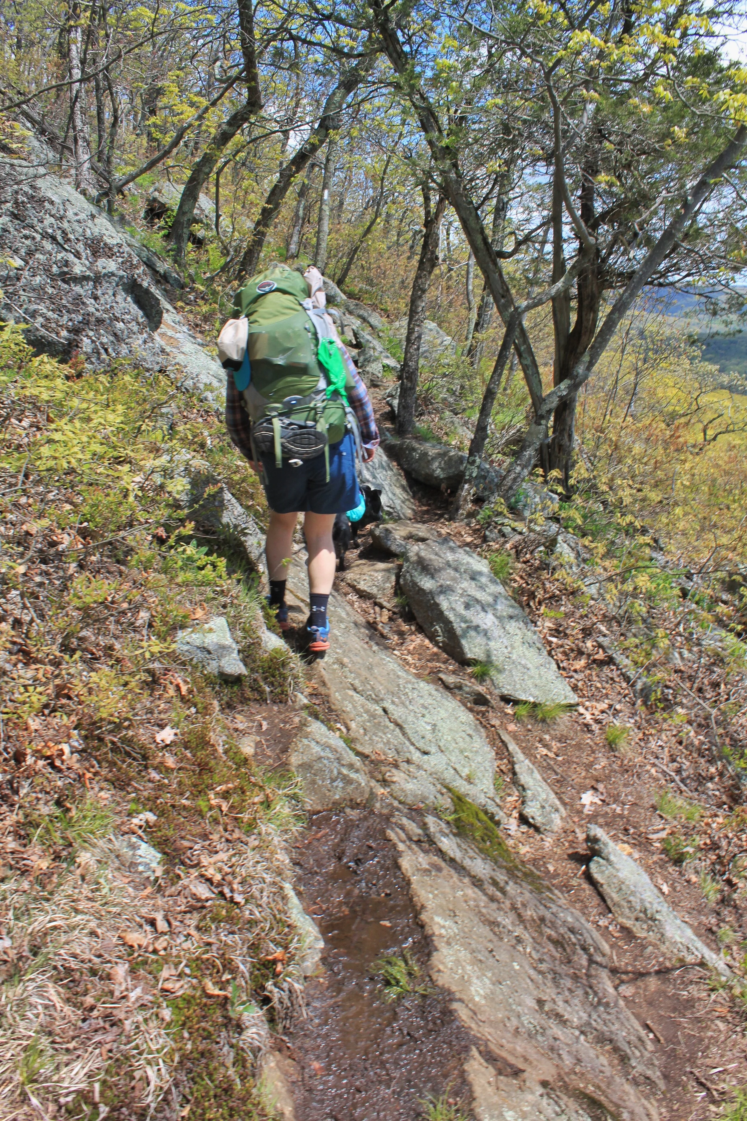
Once you dip back into the woods after your road walk you start your climb up Schaghticoke Mountain. The climb is worth the view! The viewpoint at the top of your climb is called Indian Rock and was the perfect spot for a morning snack. About 3/4 up the climb you cross over into New York. You’ll stay in NY for about 1.7 miles and then you’re back in Connecticut.
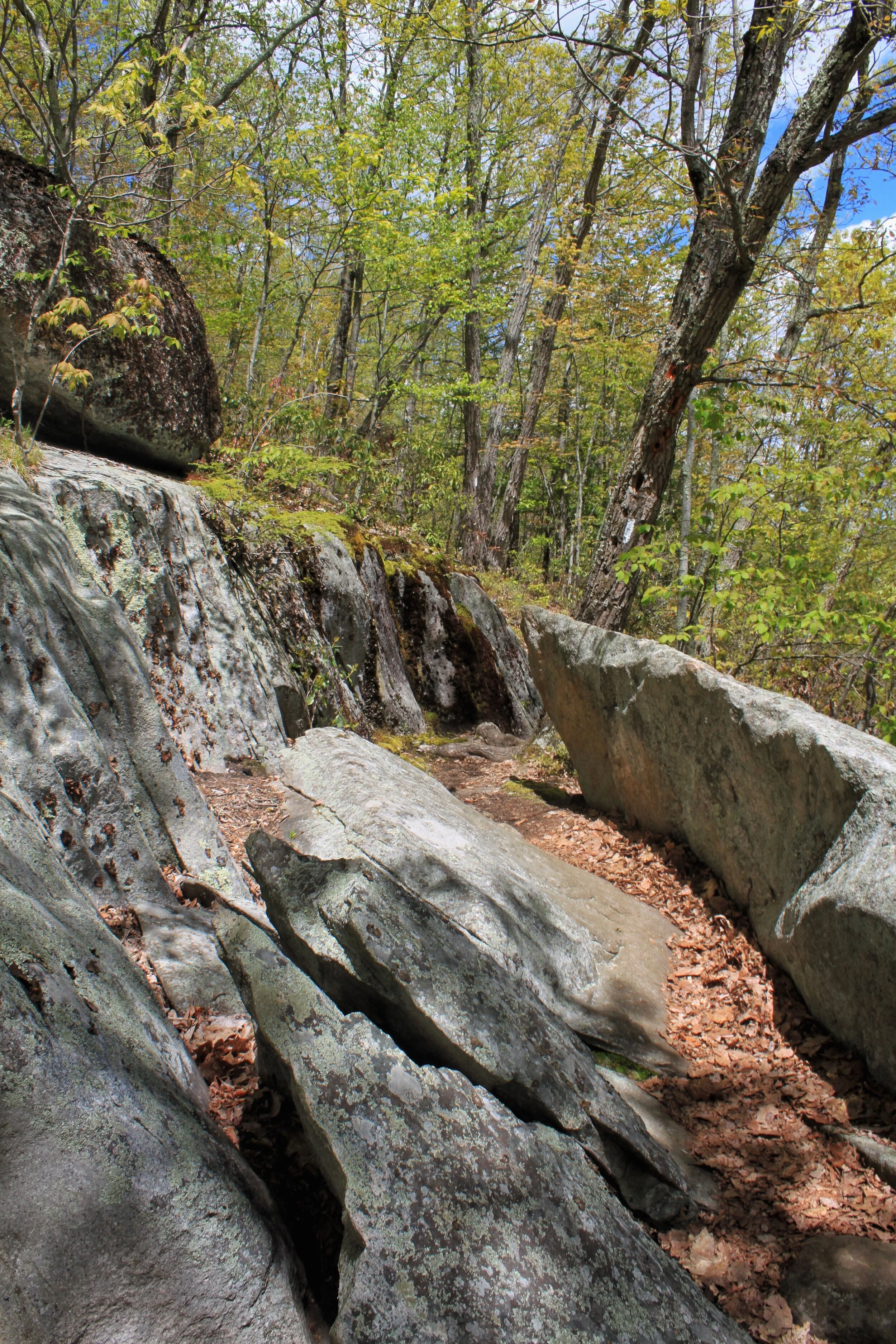
After snacking with a view you’re rewarded even more with relatively flat terrain for about 1.5 - 2 miles. You’ll cross a few more streams and then one large stream that is gorgeous. The rock path, if you can call it that, is a little tough to get across but worth it. This is one of the last areas with multiple off-trail areas to sit. Would definitely recommend grabbing lunch here.
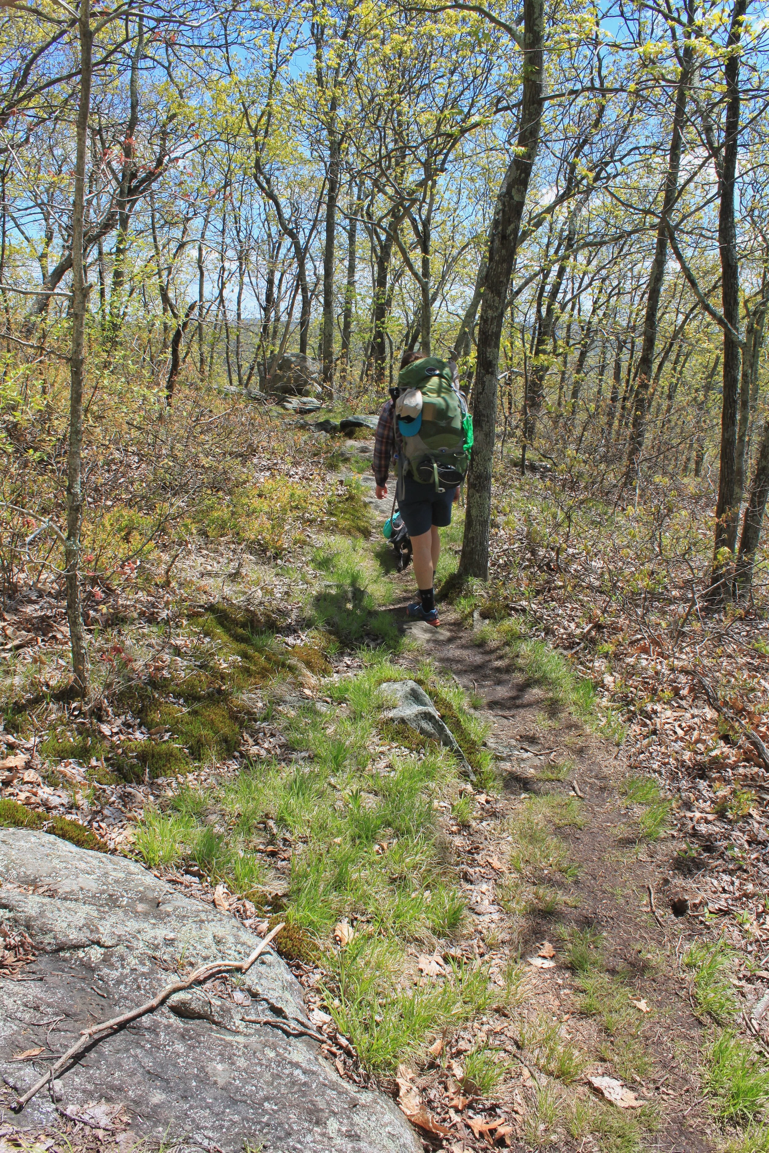
After lunch keep hiking to the campground! Only a few more miles to go with gradual ups/downs the trail essentially follows a ridgeline and you’re rewarded some awesome views along the way.
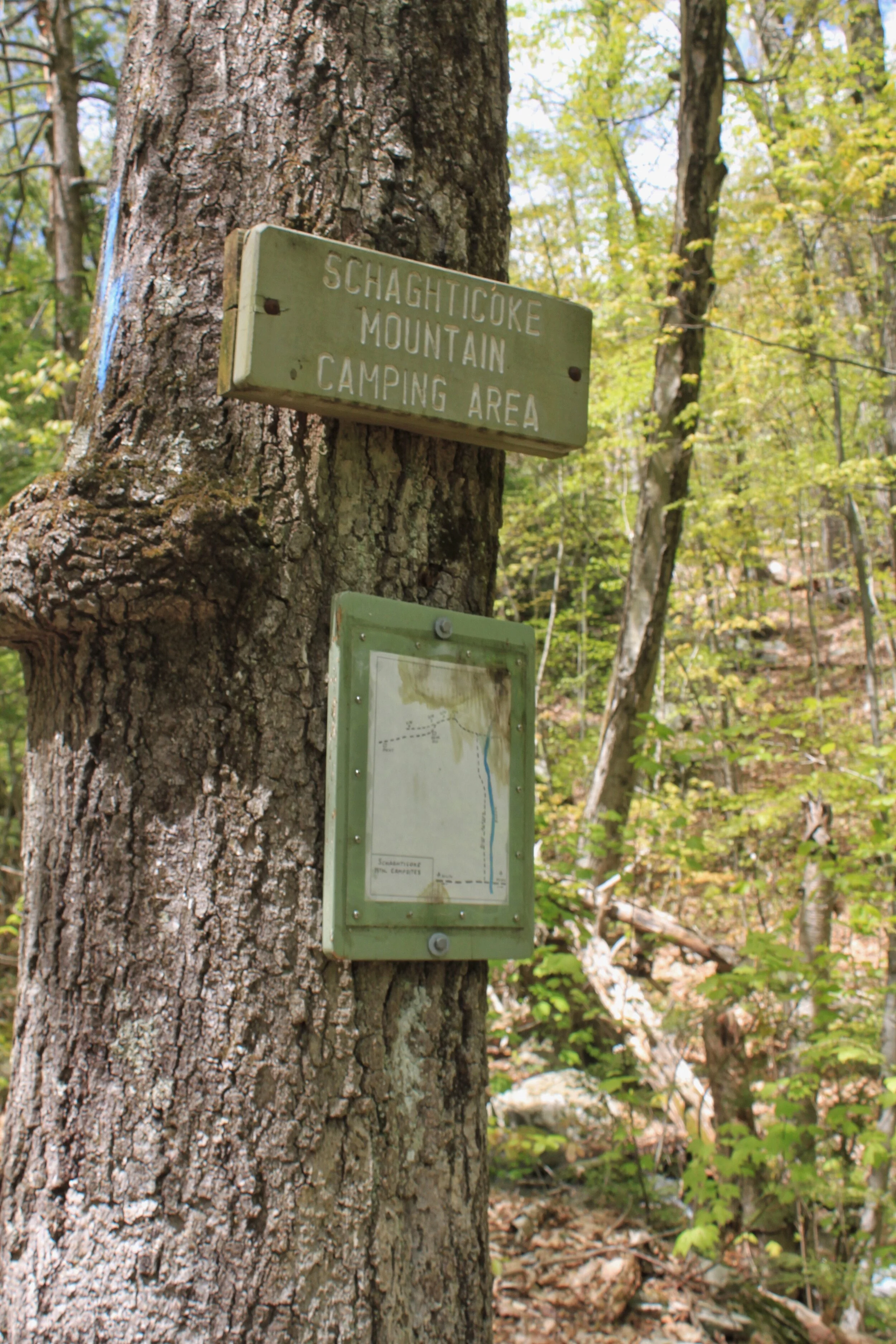
If you feel like stopping early you’ll pass an additional camping area, Schaghticoke.
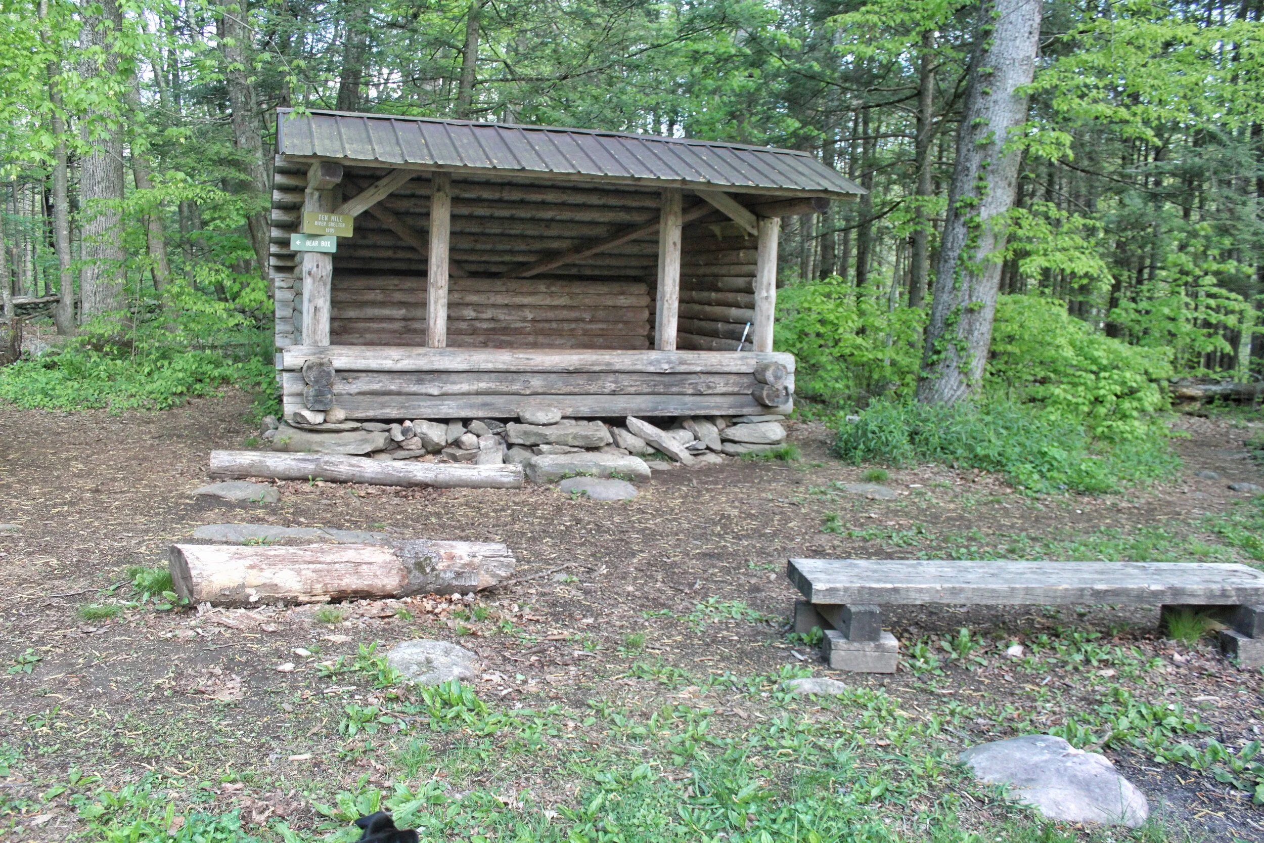
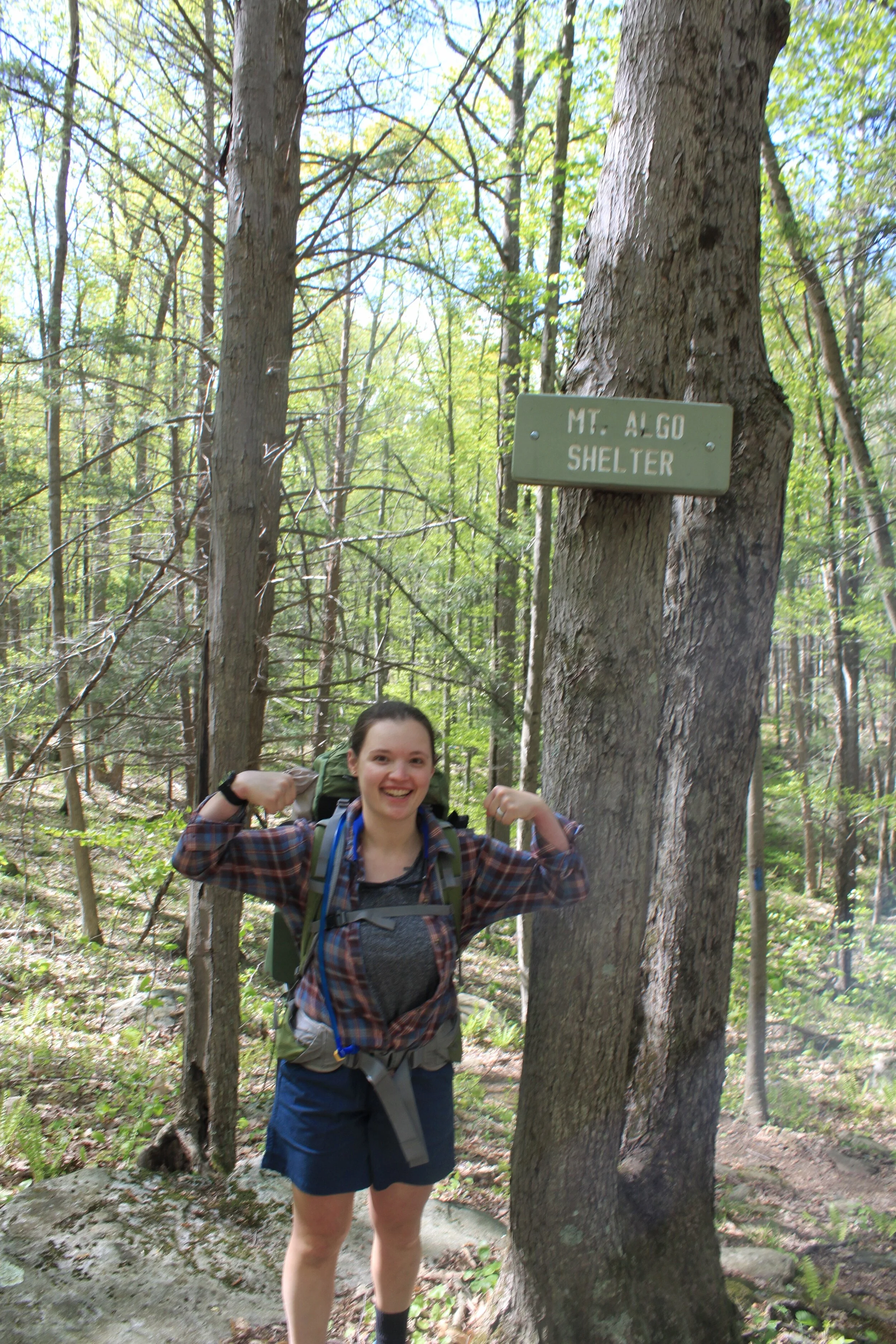
After a long day of hiking we made it to the shelter. You cross one more stream to get to the site, there’s a bear-box, lean-to, and about five designated campsites. We cooked up Indian for dinner, enjoyed some Mule’s we packed out, and played cards. As soon as we were done eating we crashed, hard. Nothing like going to bed at 8pm!
DAY Three: 11.2 MT. ALGO - 16.2 South Rd (5 MILES TOTAL)
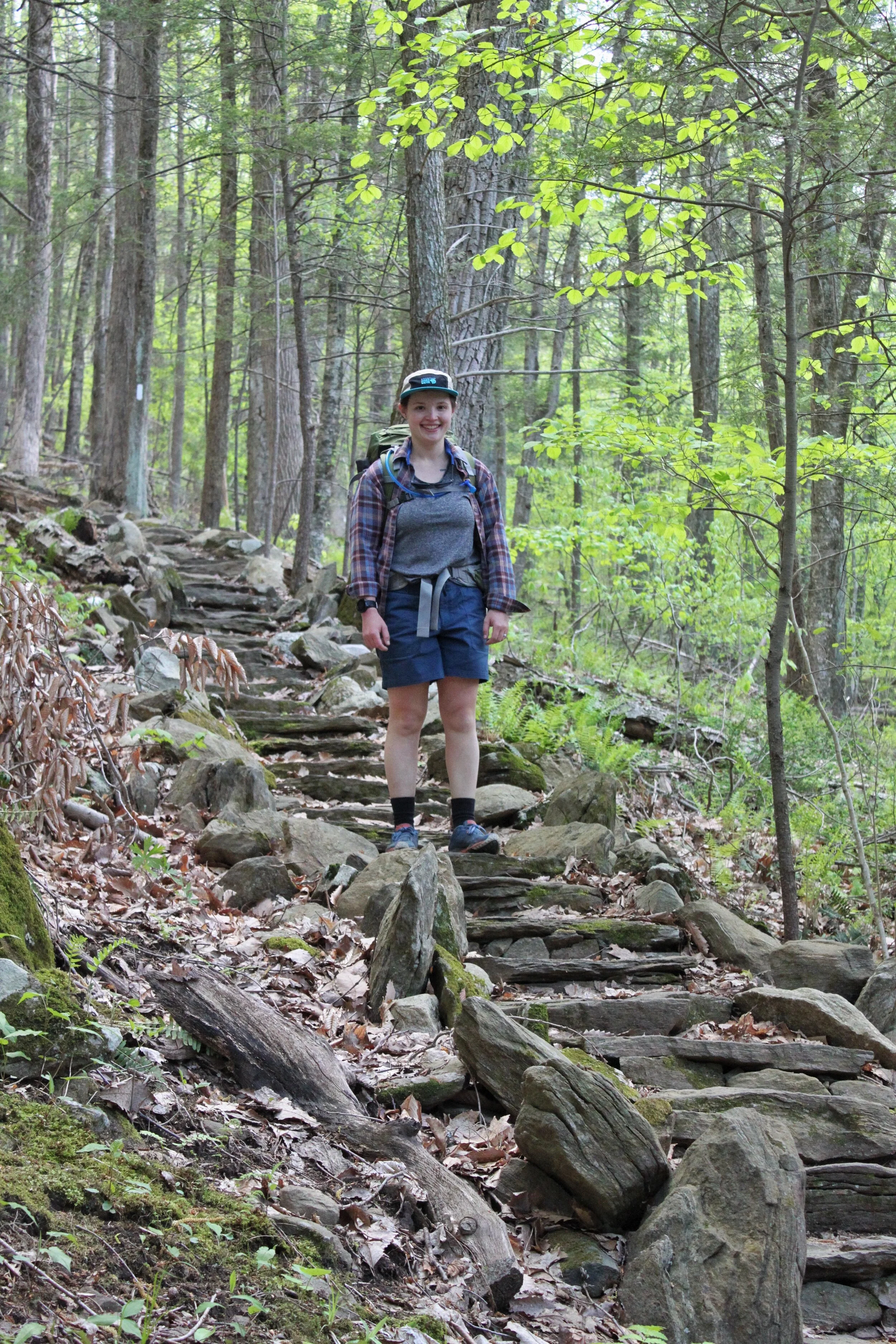
Day three started with coffee and pop tarts for breakfast. We broke down camp, filtered water, and set out to descend down Mt. Algo. This section is not easy on the knees.
At the bottom of Mt. Algo you reach Rt. 341 cross the road and walk through a field before starting your climb back up into the mountains.
After you cross the bridge pictured above you start your climb for the day. The great part about this section is you’ll get most of your elevation gains are done in the beginning. Once you finish climbing the trail winds its way through dense trees that open up to small grassy areas. One of my favorite parts of the trail is when there’s grass on both sides and it looks like the trail was carved into the landscape.
The best lookout of the day is Caleb’s Peak. The trail pops out from the woods to a large rock face to sit and enjoy the view. Even if with multiple people stopping to enjoy the view there’s plenty of space for everyone without feeling too crowded.
The trail continues along the ridge line after Caleb’s peak to St. John’s Ledges which also has a great view. Rest up your knees because you’re about to descend all the elevation you gained in the last three days down to River Rd.