The Appalachian Trail Connecticut Section 2

Read all about miles 0.0 - 16.2 on the CT AT here

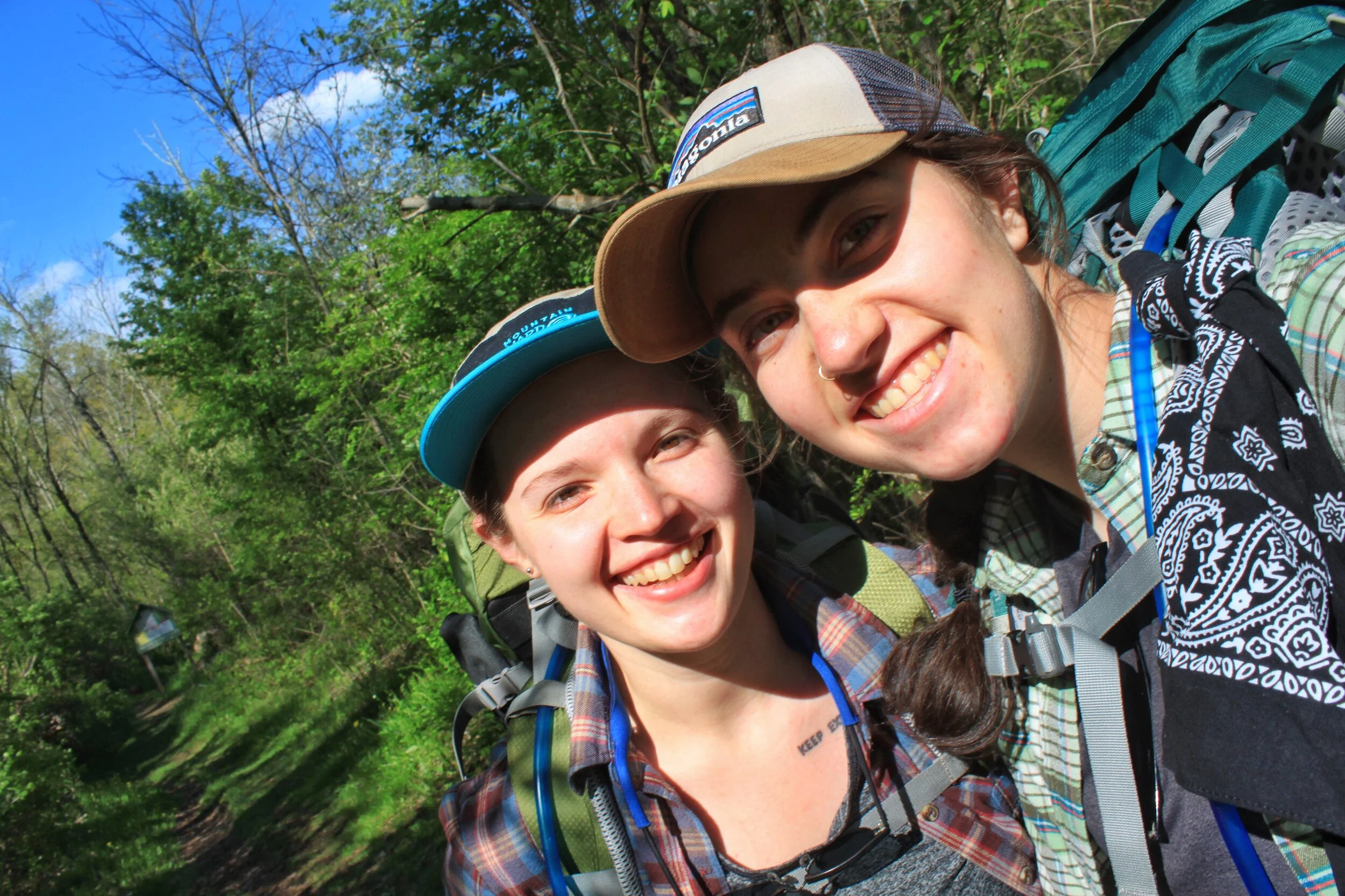
The snow on the ski trails has melted and backpacking season is here. We took advantage of a couple days off from work in early April and set out to tackle some more AT miles. We were stoked. The weather, well mother nature didn’t want to cooperate.

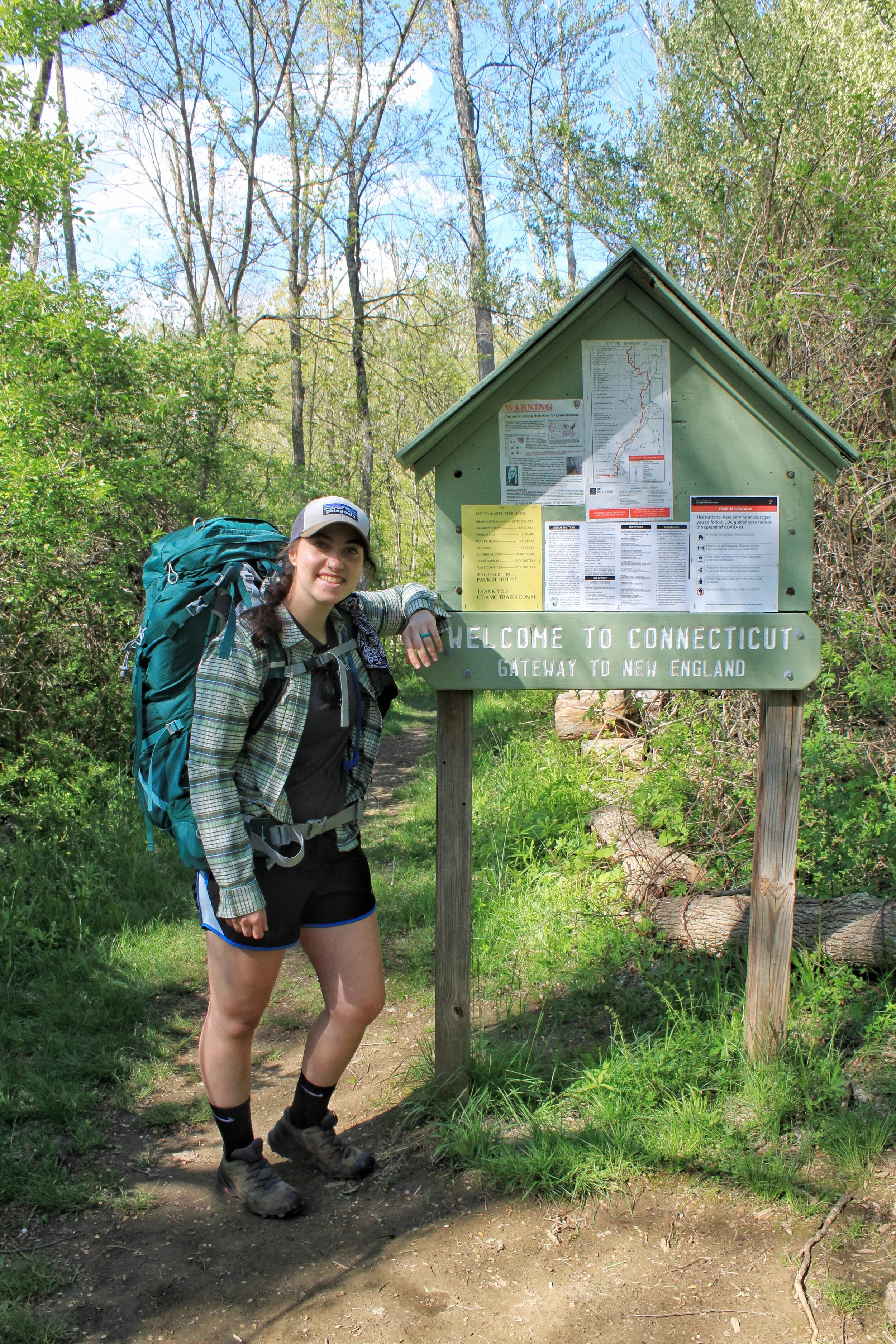
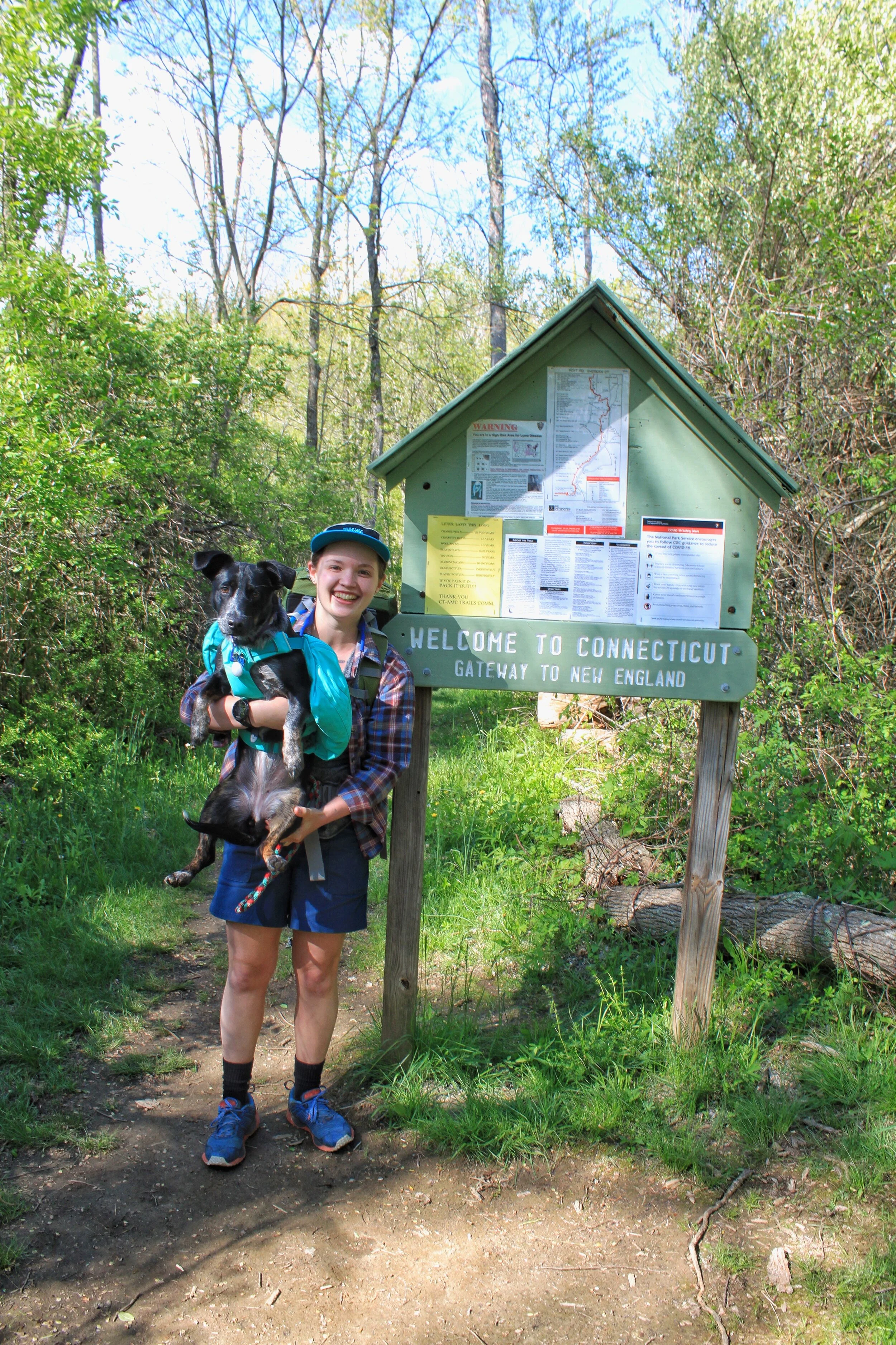
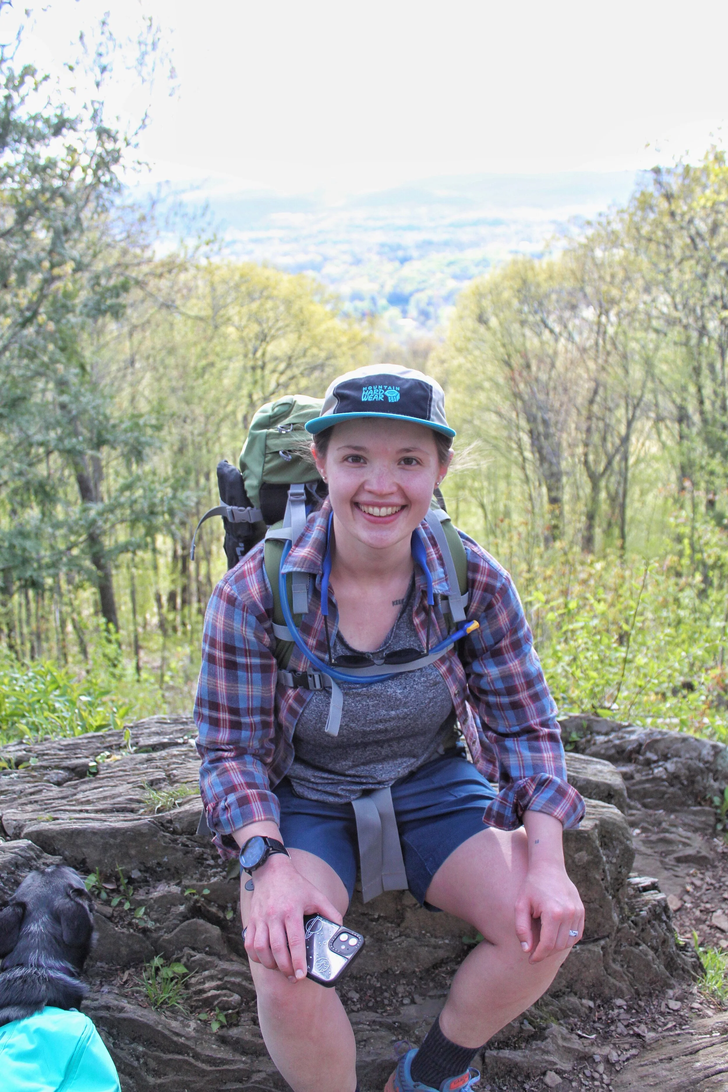
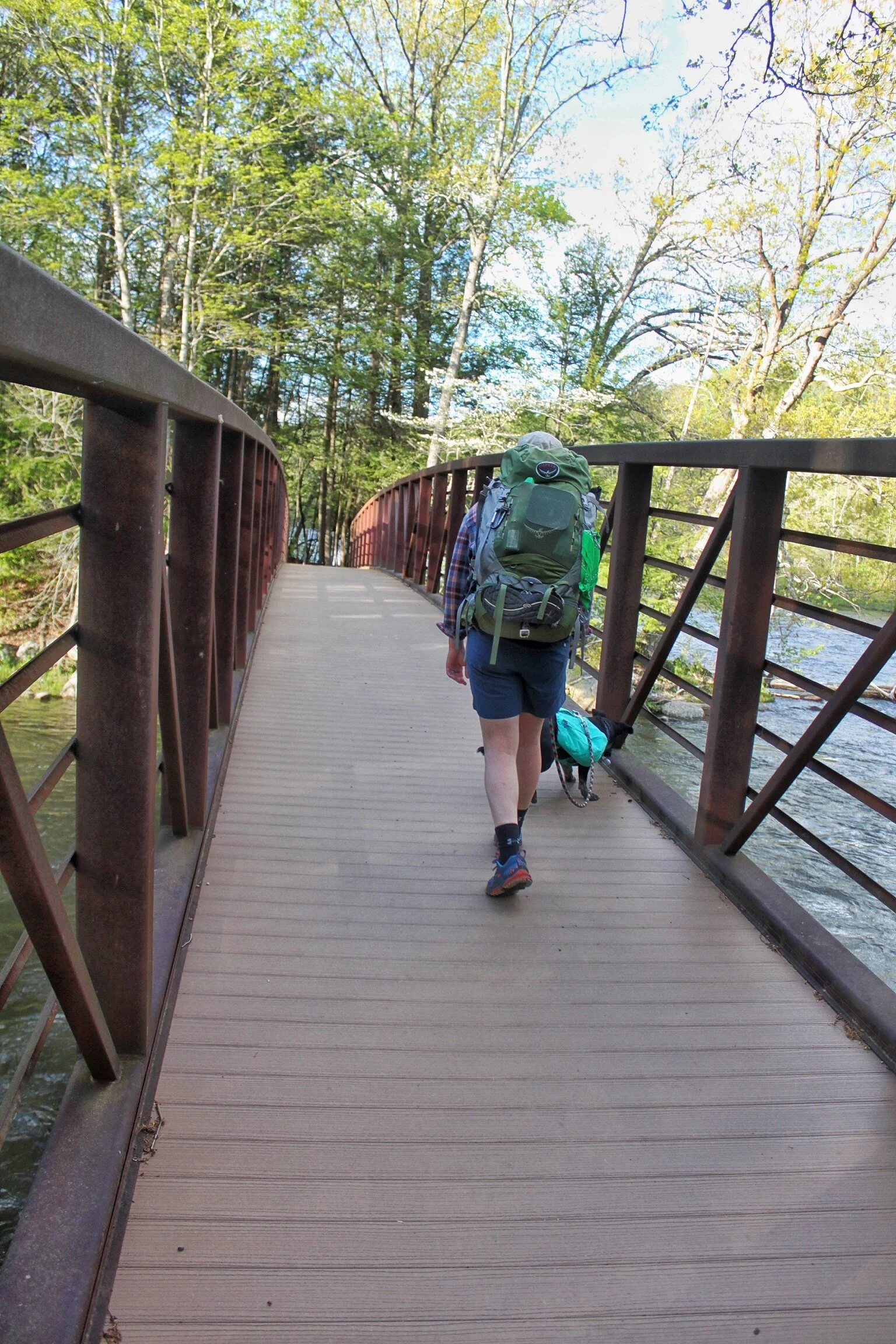
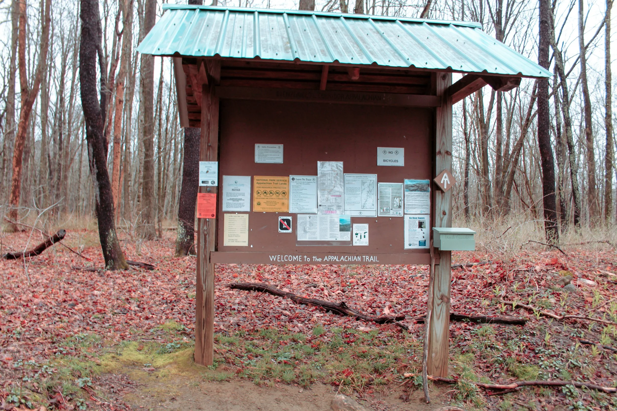
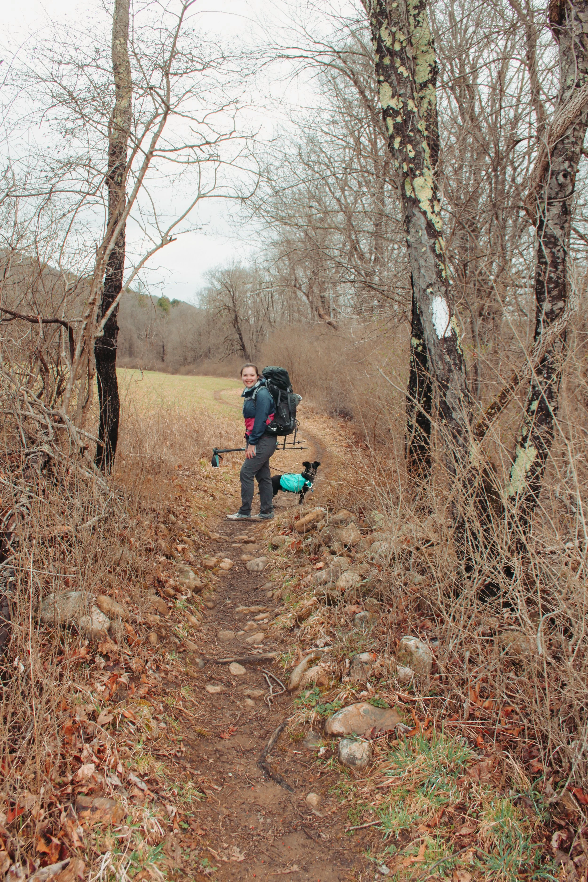
We parked at South Gate (River Rd) mile 16.2 in Kent and set out for our adventure. The morning was chilly, low 50’s, with intermittent rain forecasted.

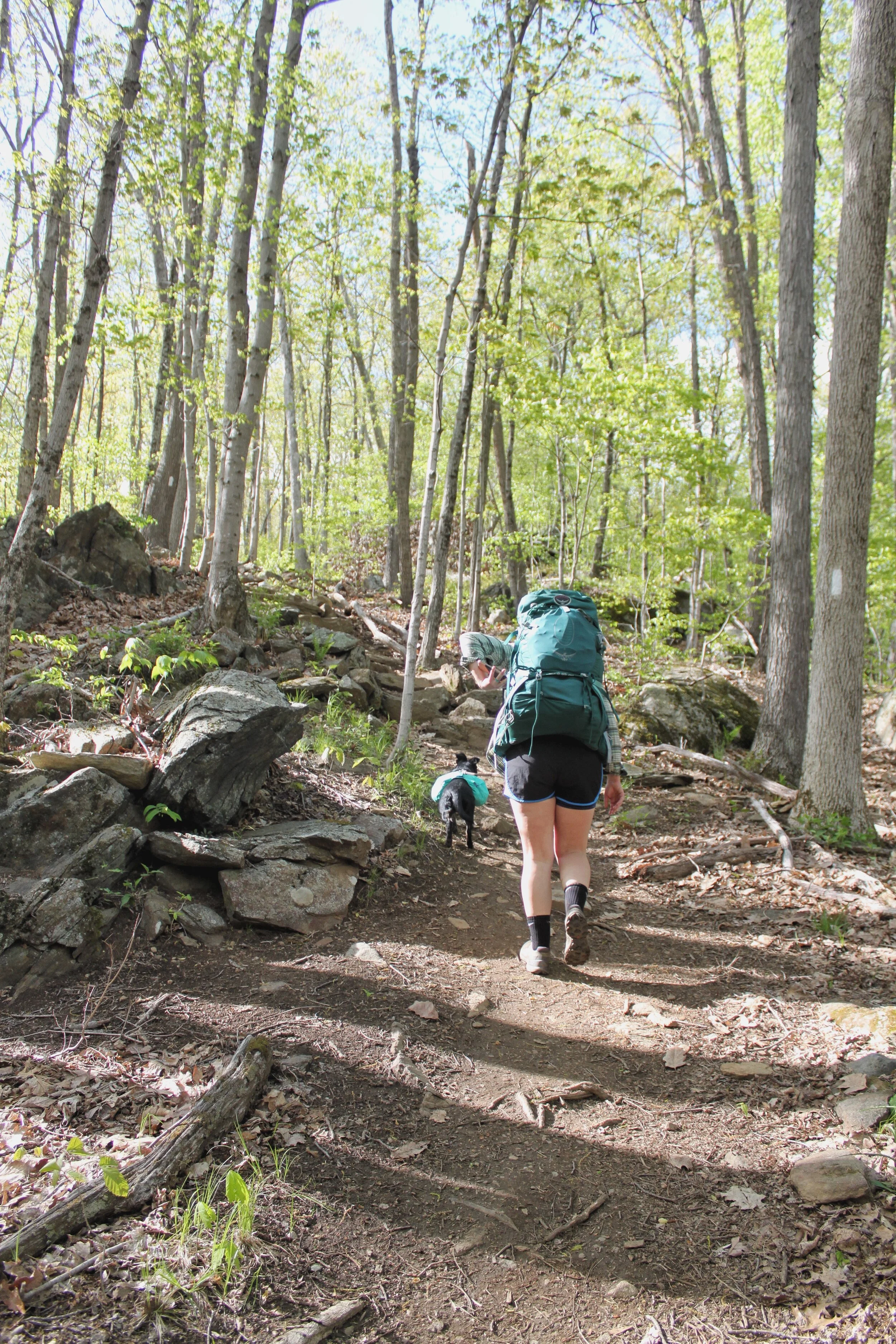
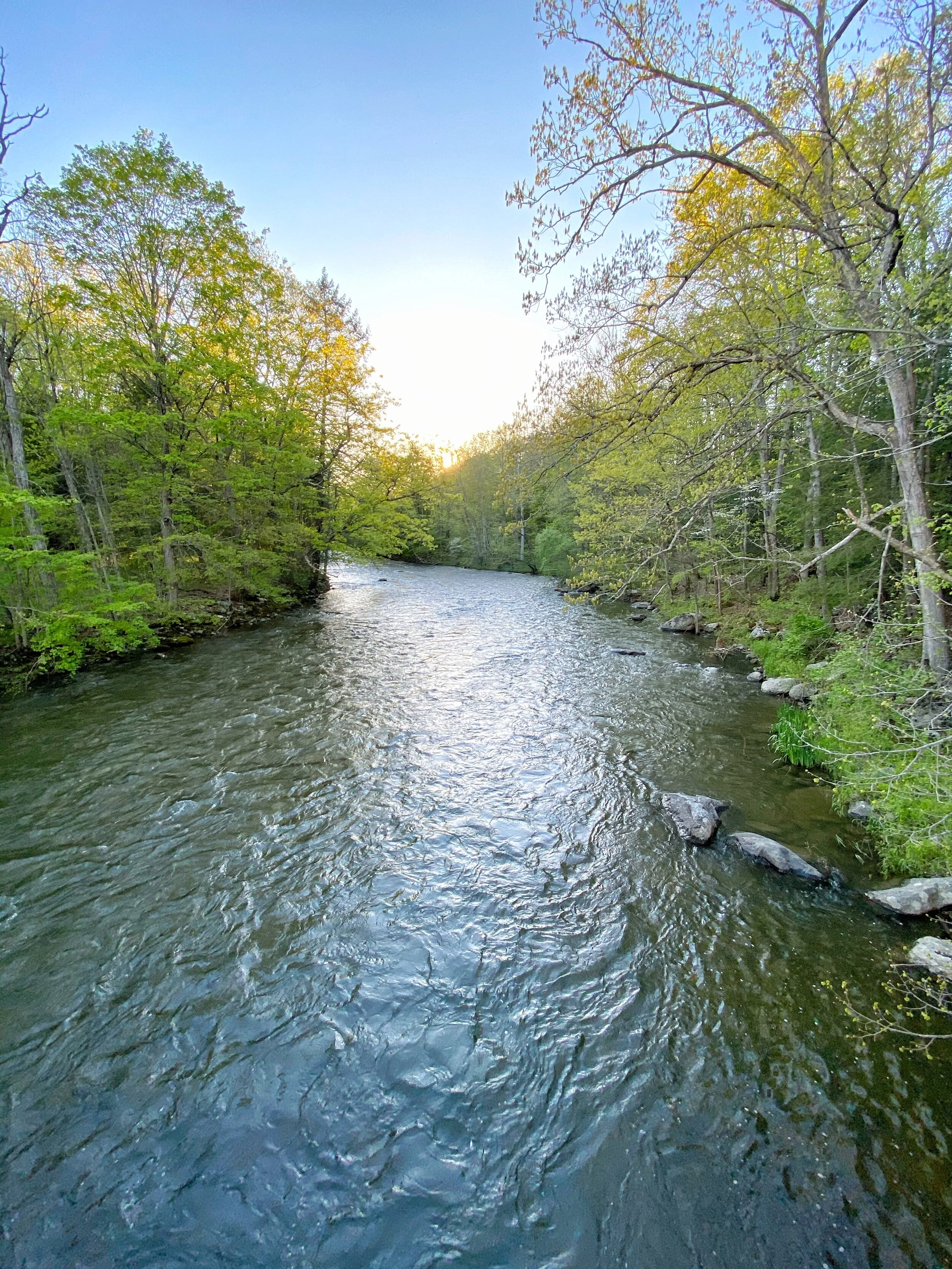
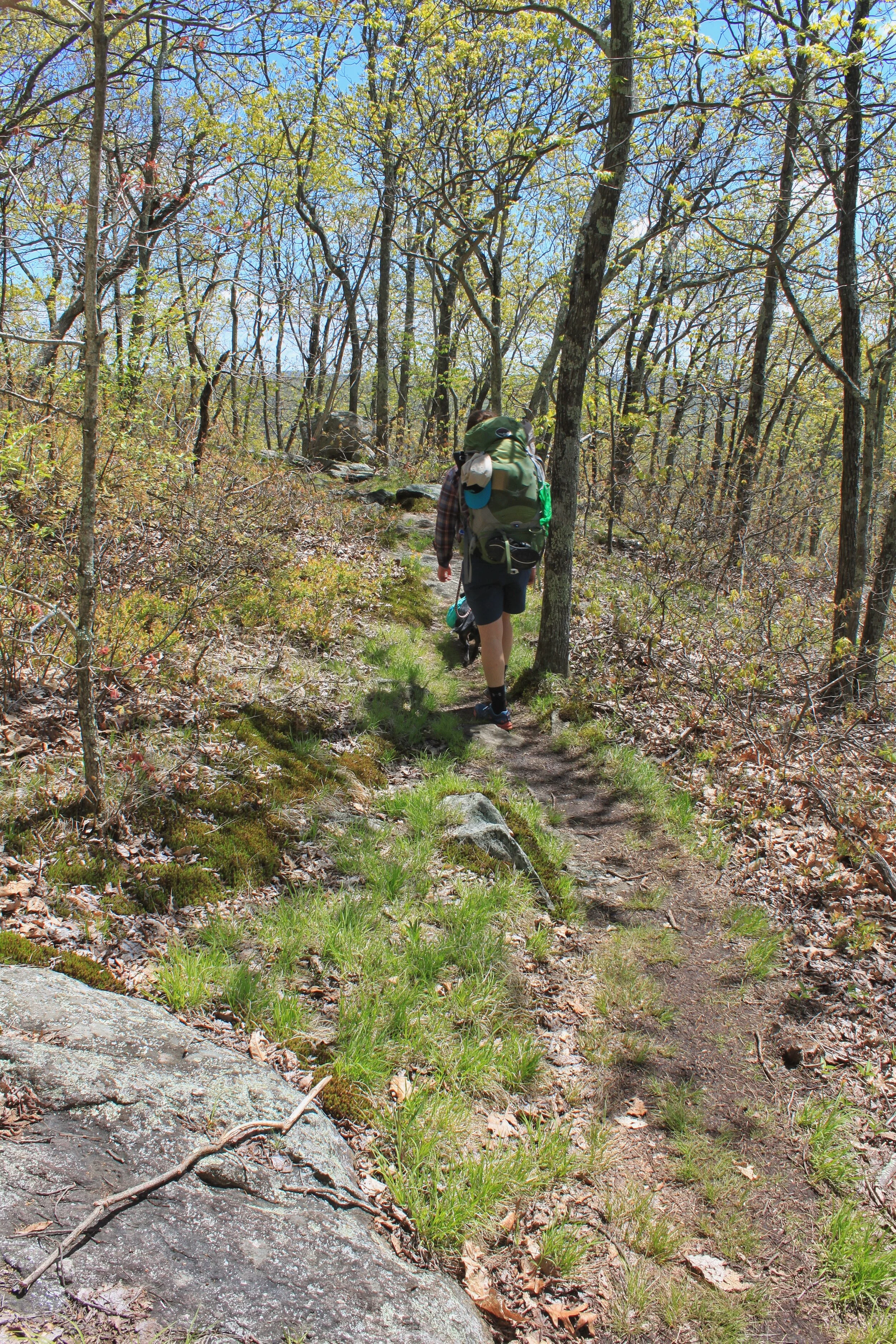
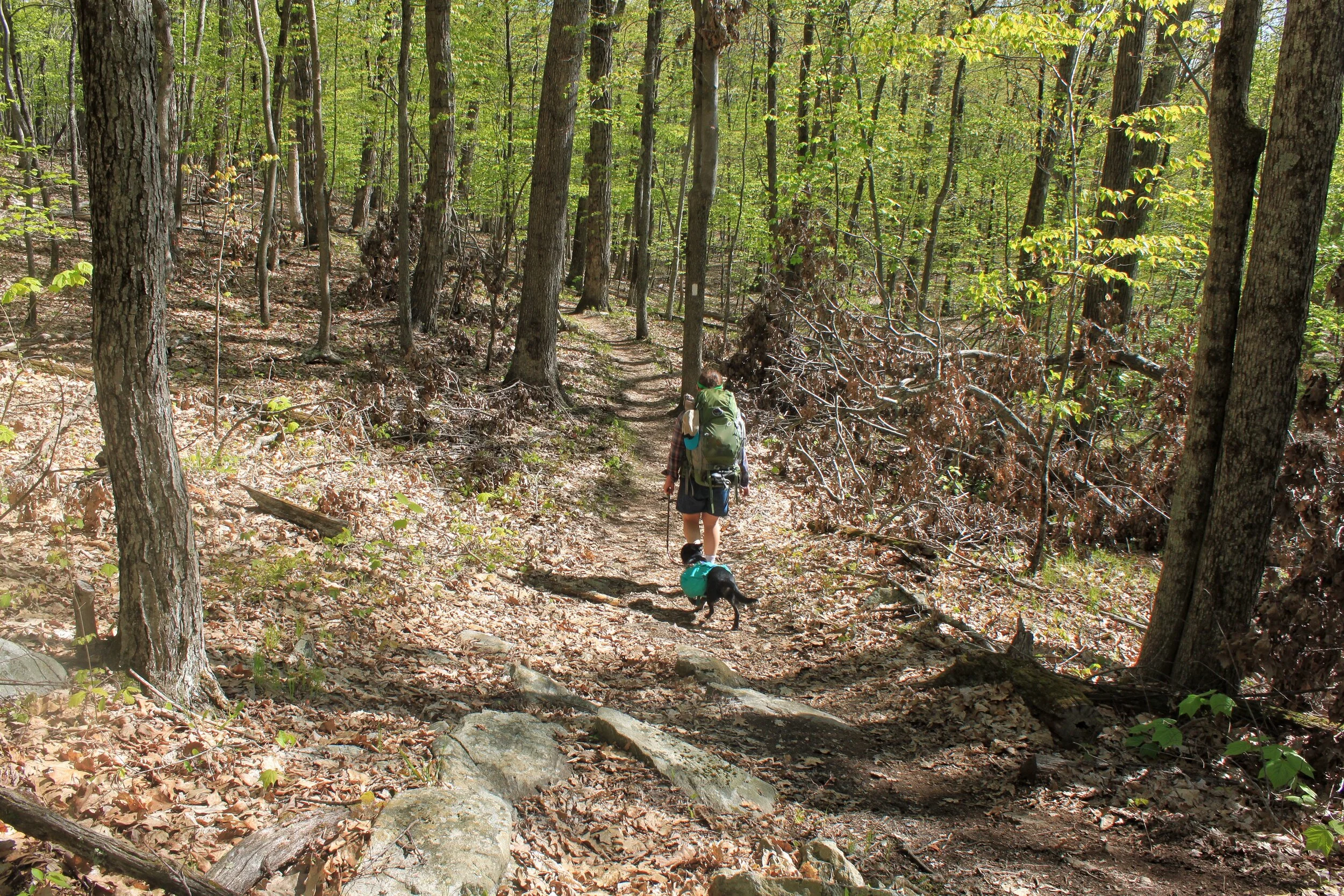
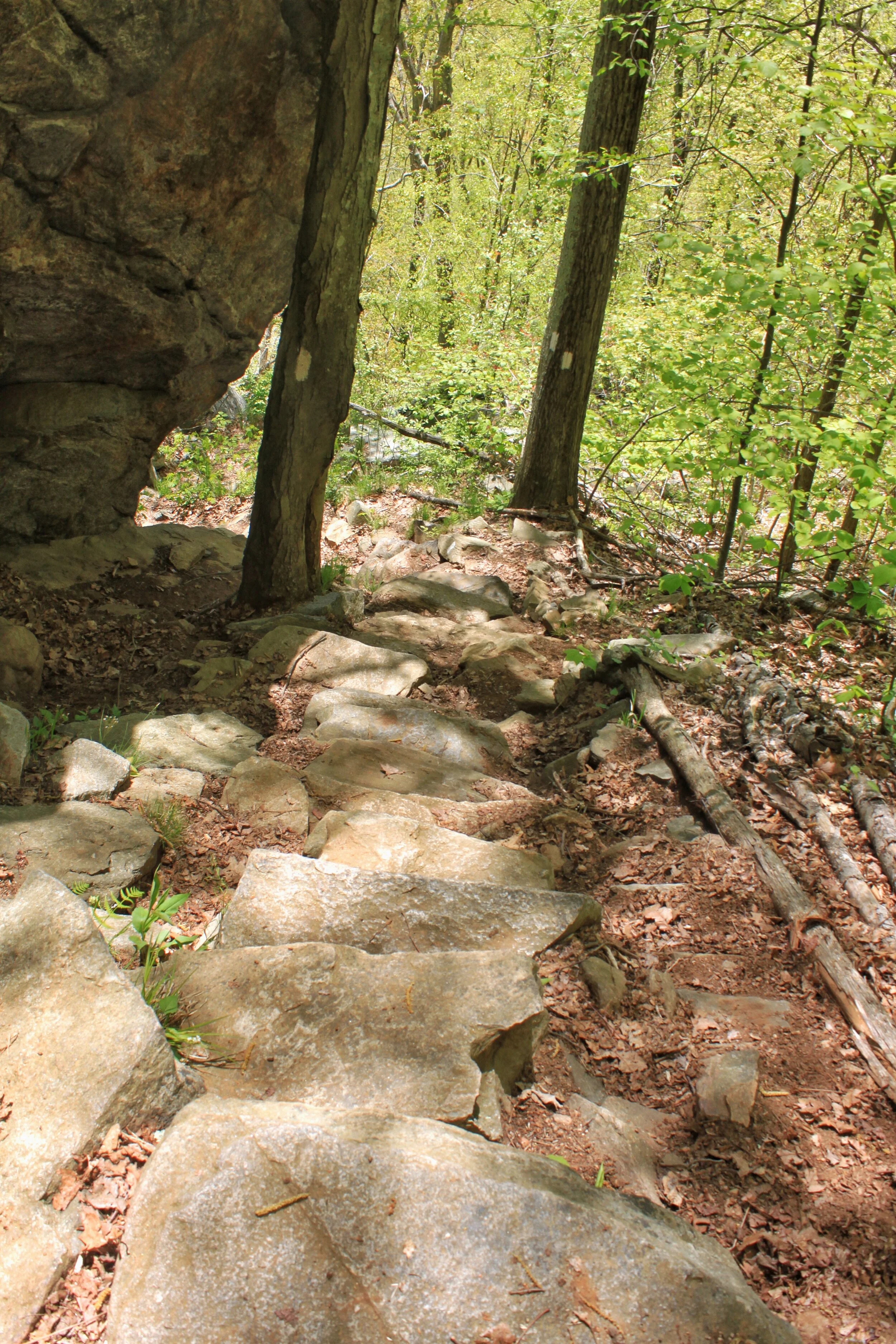
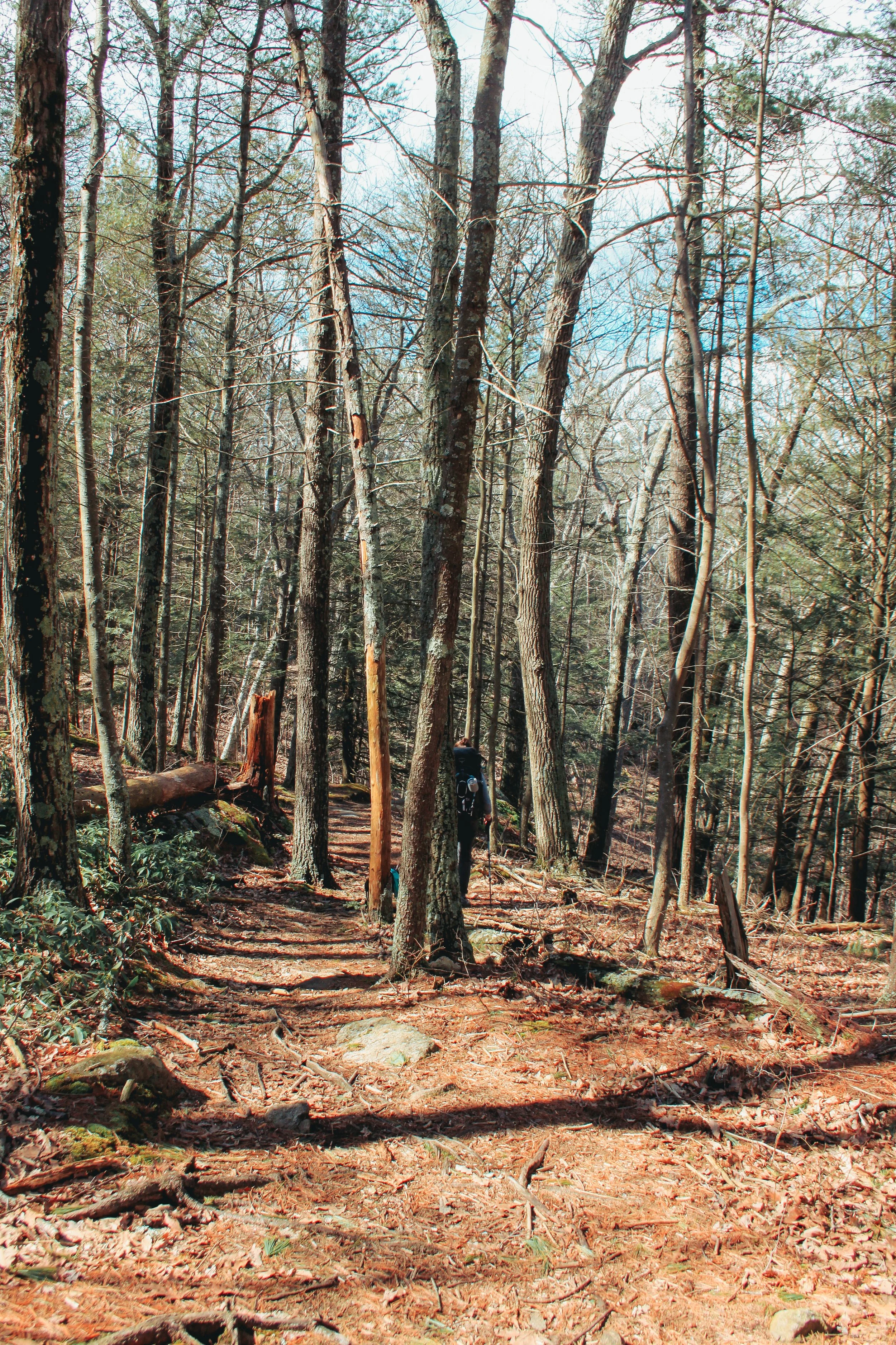
We set out down the trail with light rain falling. There was plenty of tree cover protecting us and we could barely feel the drops. We were cruising at a steady pace. Our goal was to complete 12 miles the first day and 4-5 miles of the section was flat next to the Housatonic River.

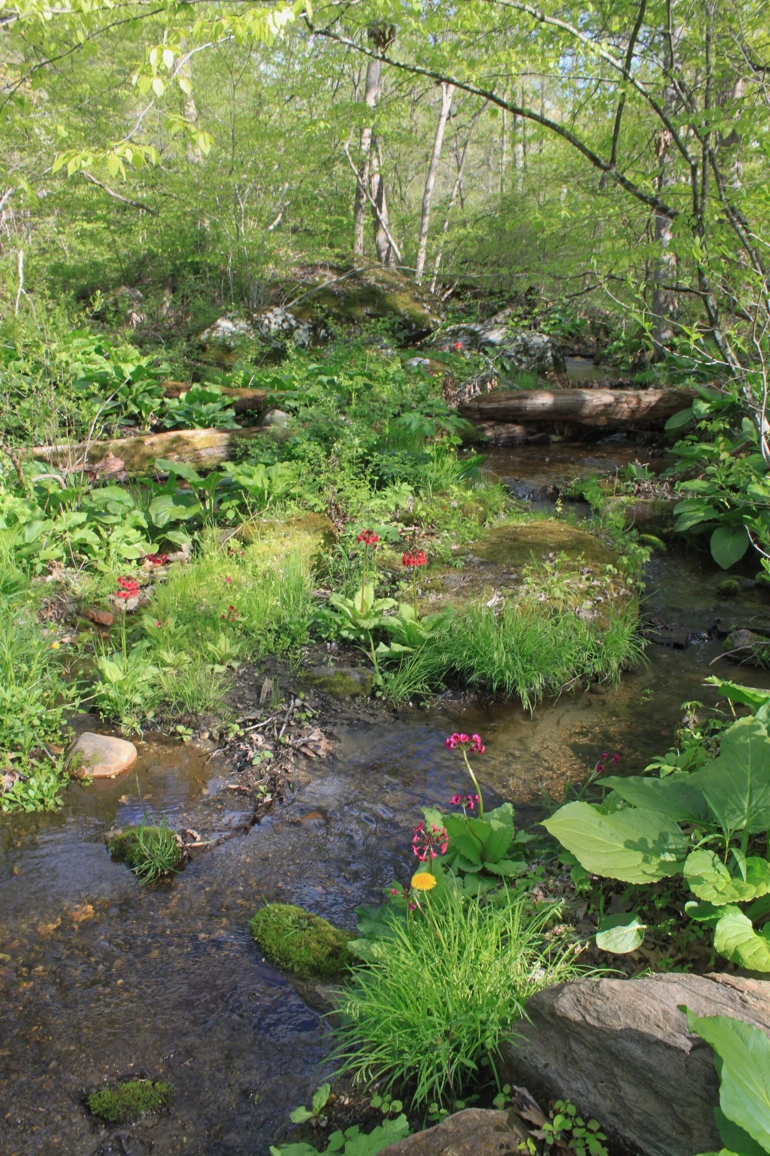
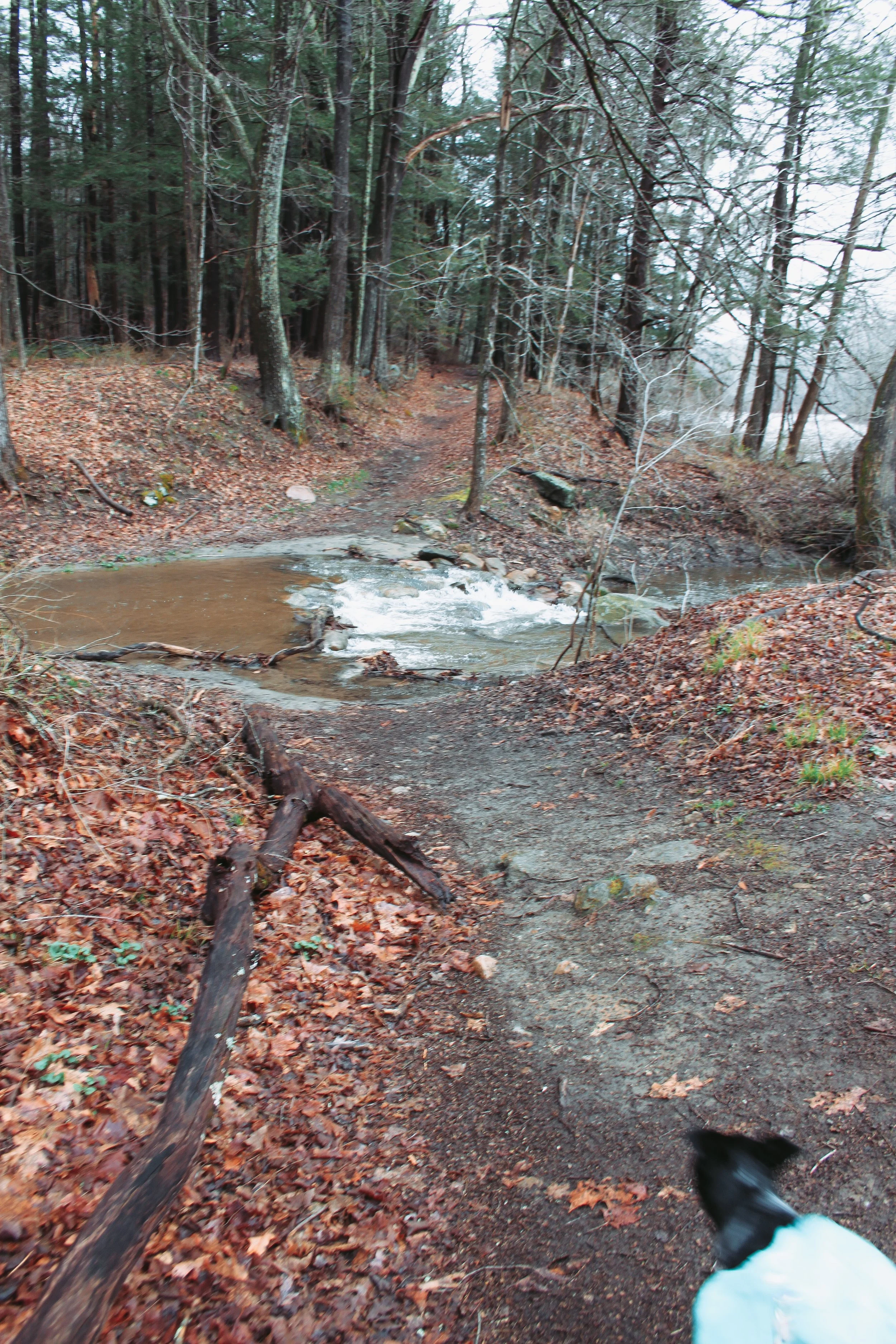
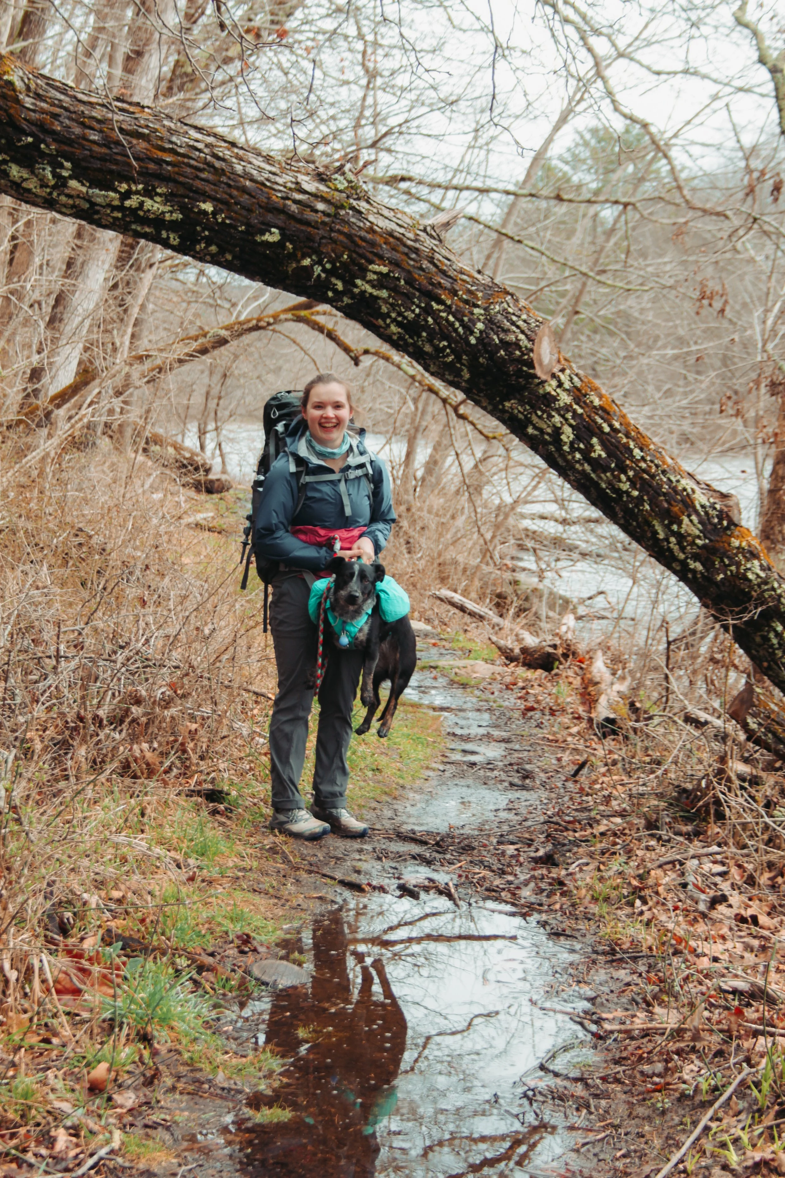
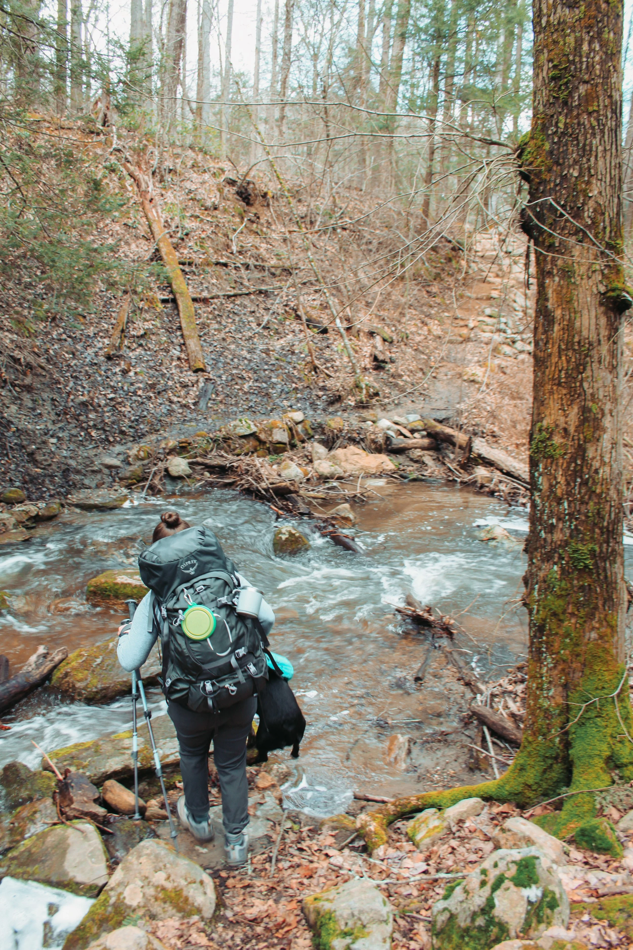
Leah and I were chatting back and forth about how nice the trail and how good it felt to be back out here. I stopped quick almost ramming into Leah- she was dead stop in the middle of the trail. I tapped her pack with my pole and jokingly said what’s the hold up slow poke! Leah stepped to the side of the trail and started laughing. My jaw dropped. Not even 0.5 miles in and what was supposed to be a stream crossing with stepping stones was a raging river with thigh deep, ice-cold, water.

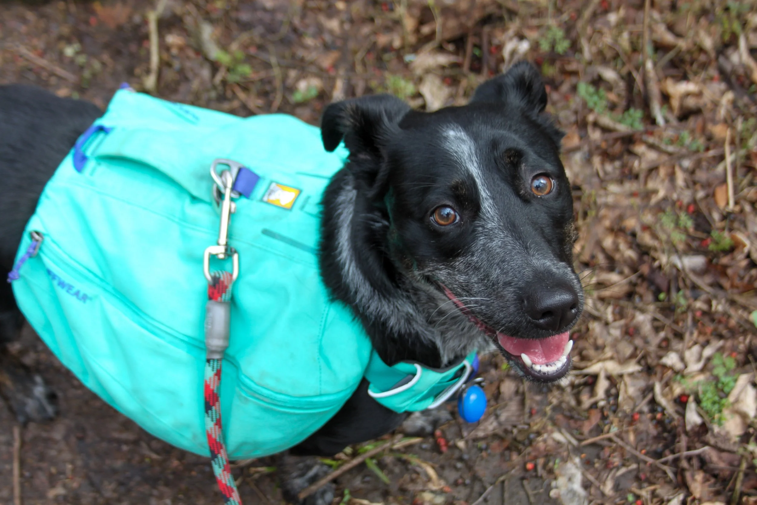
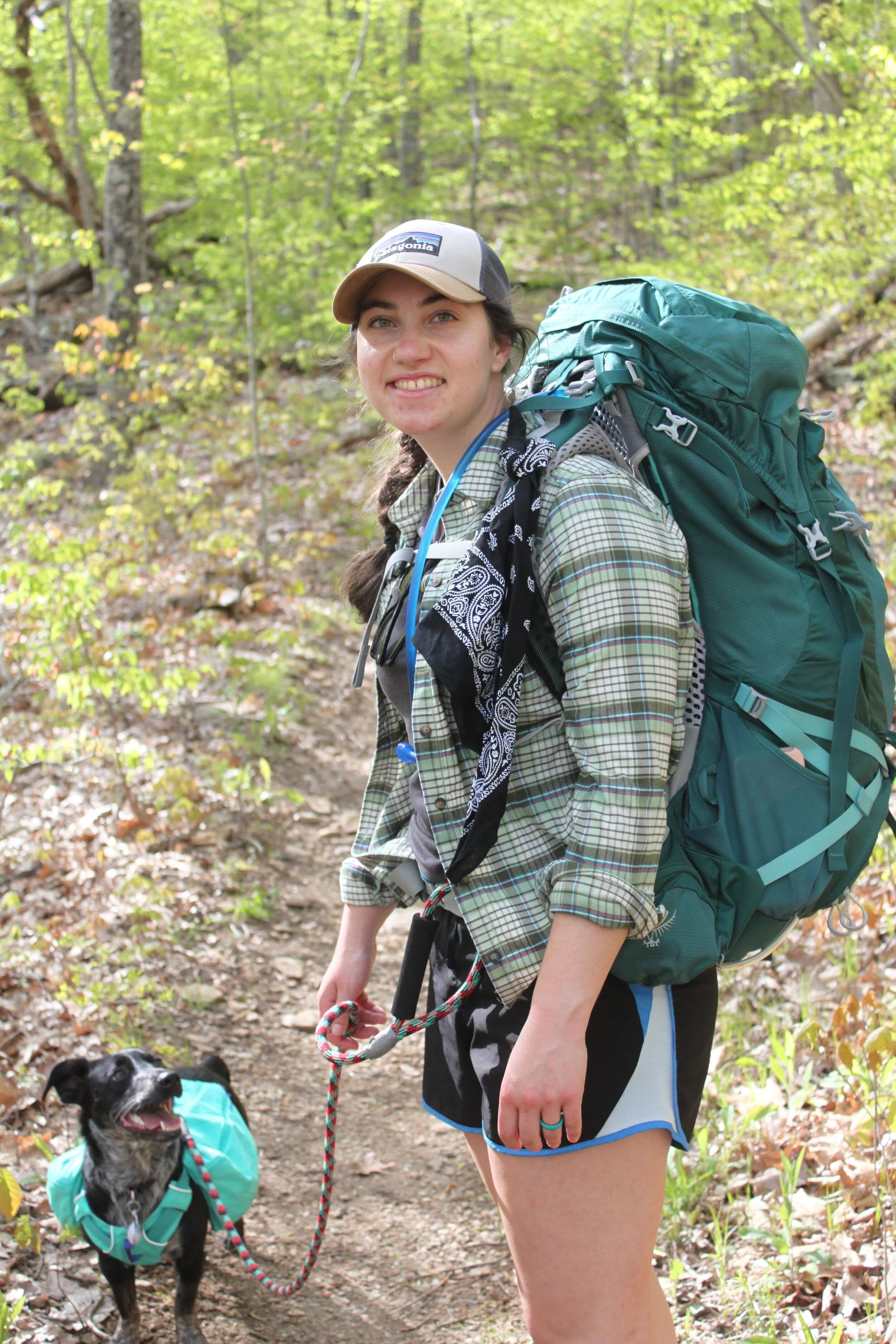
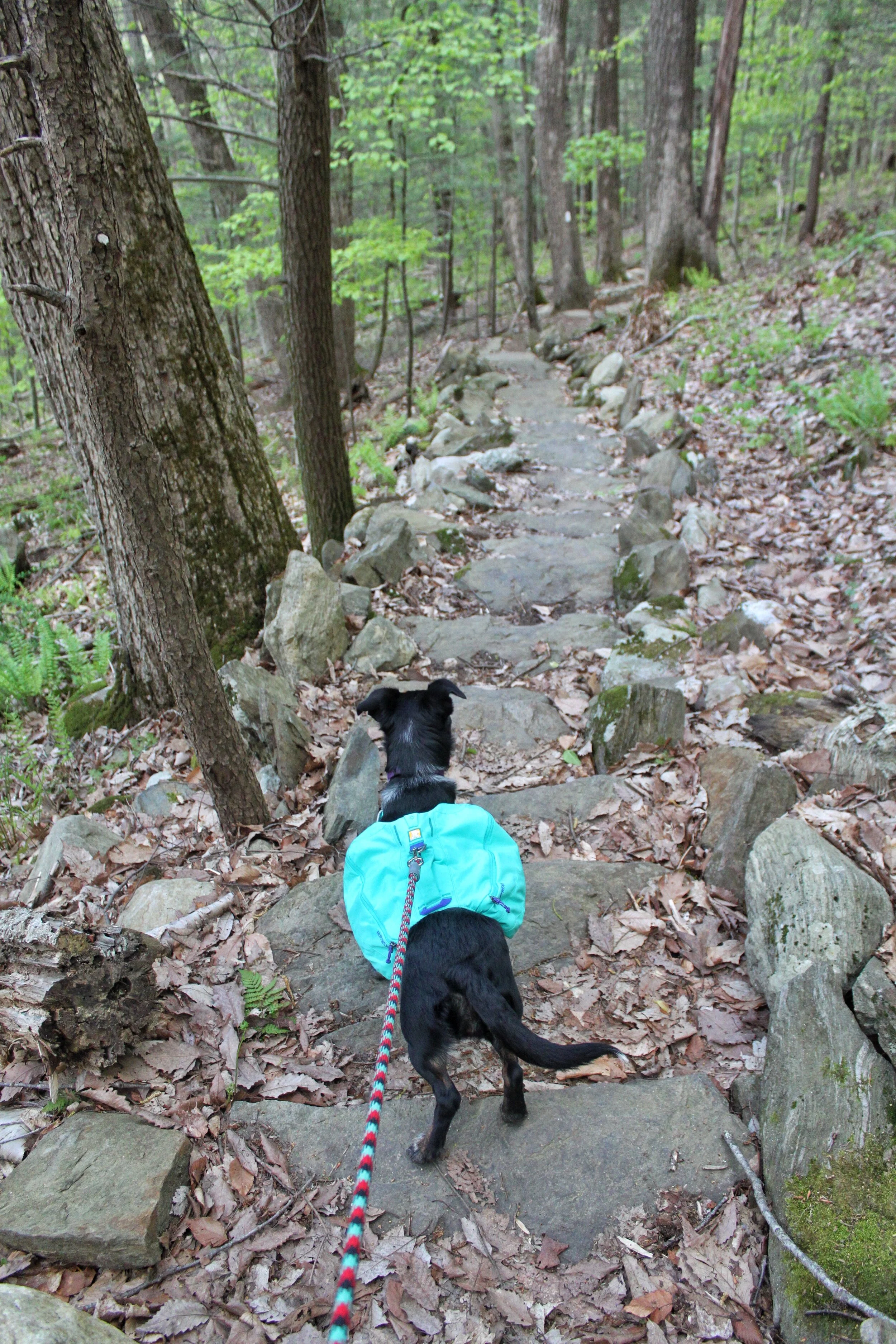
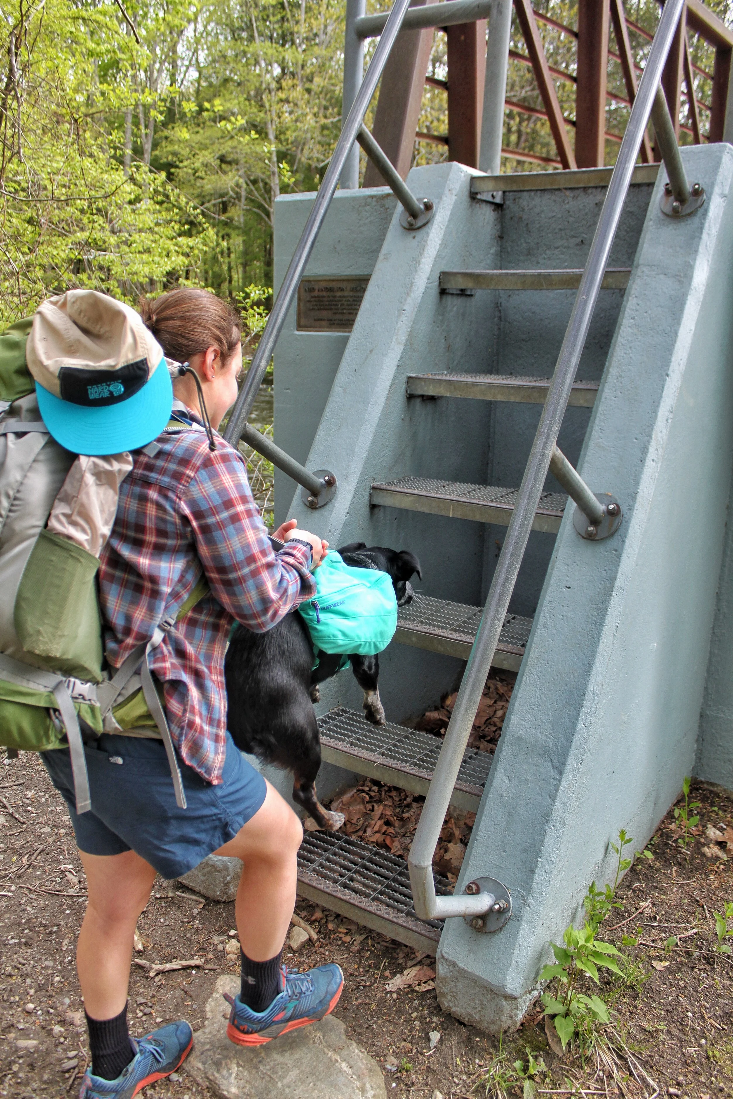
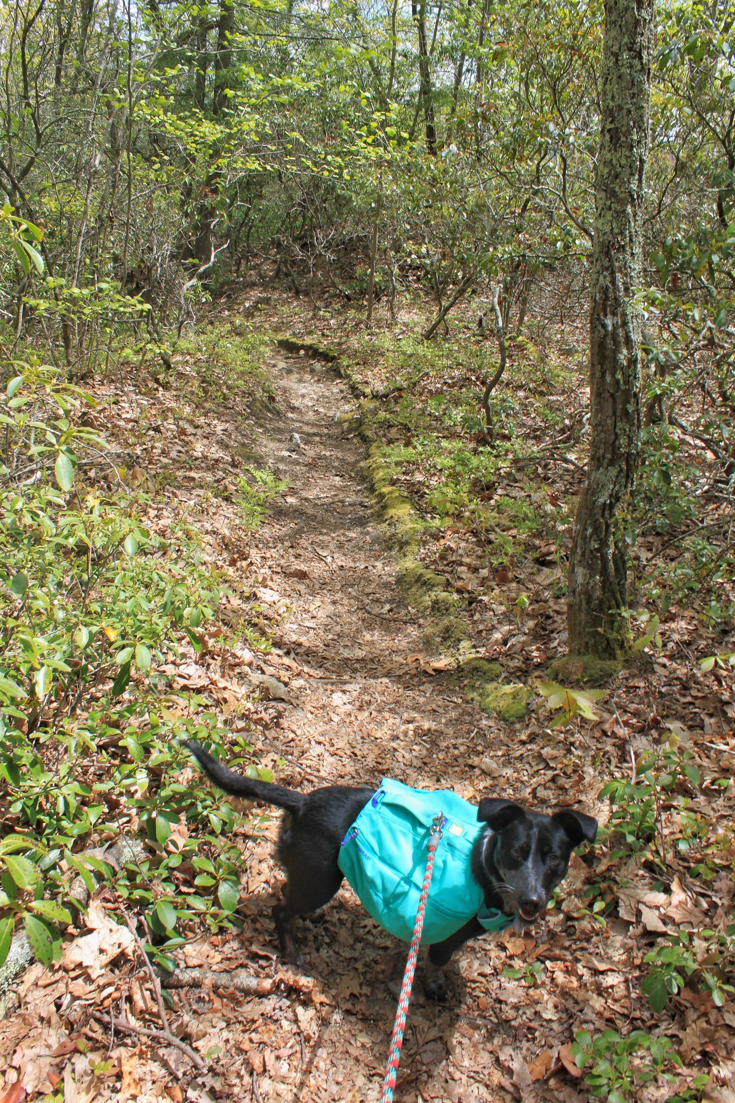
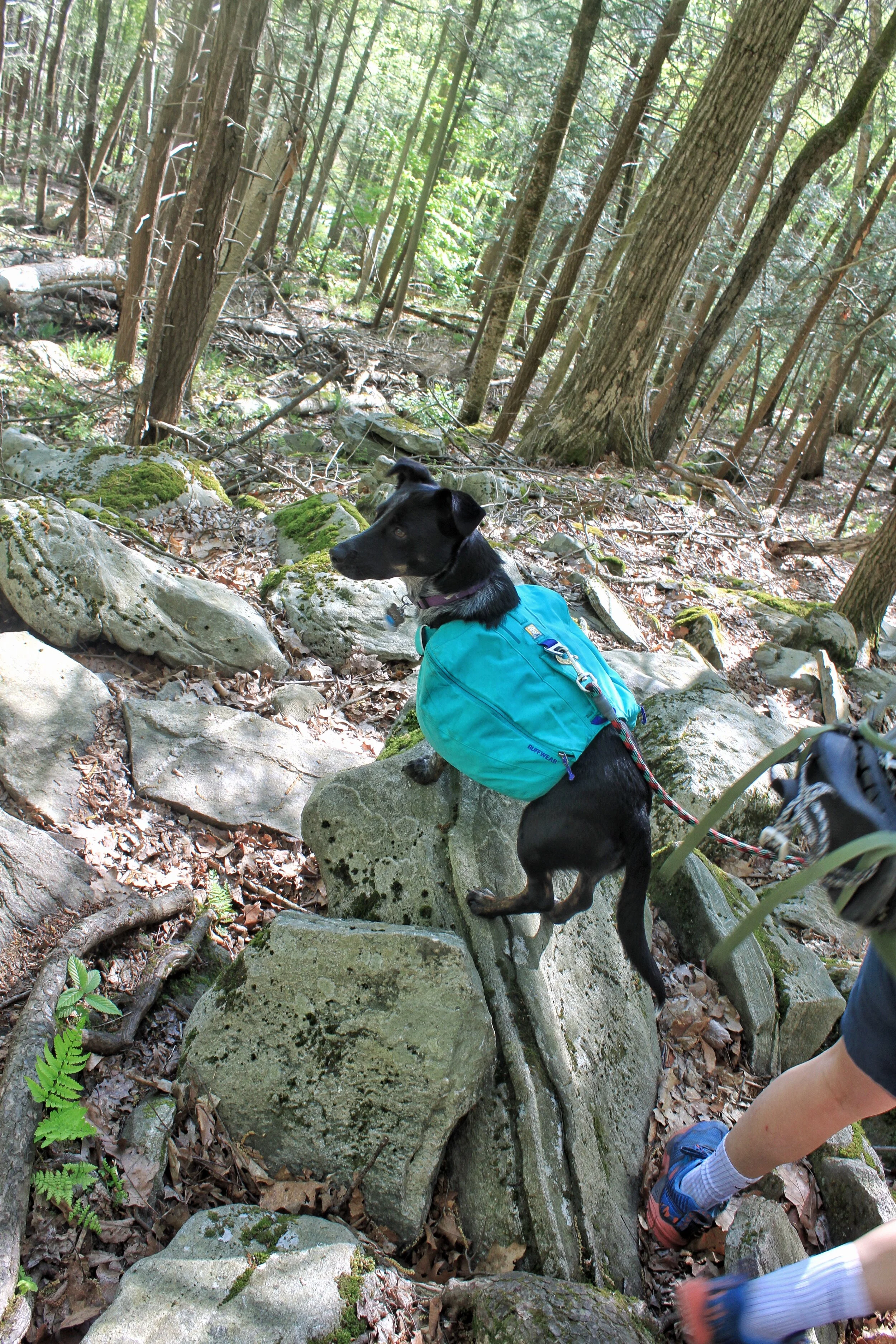
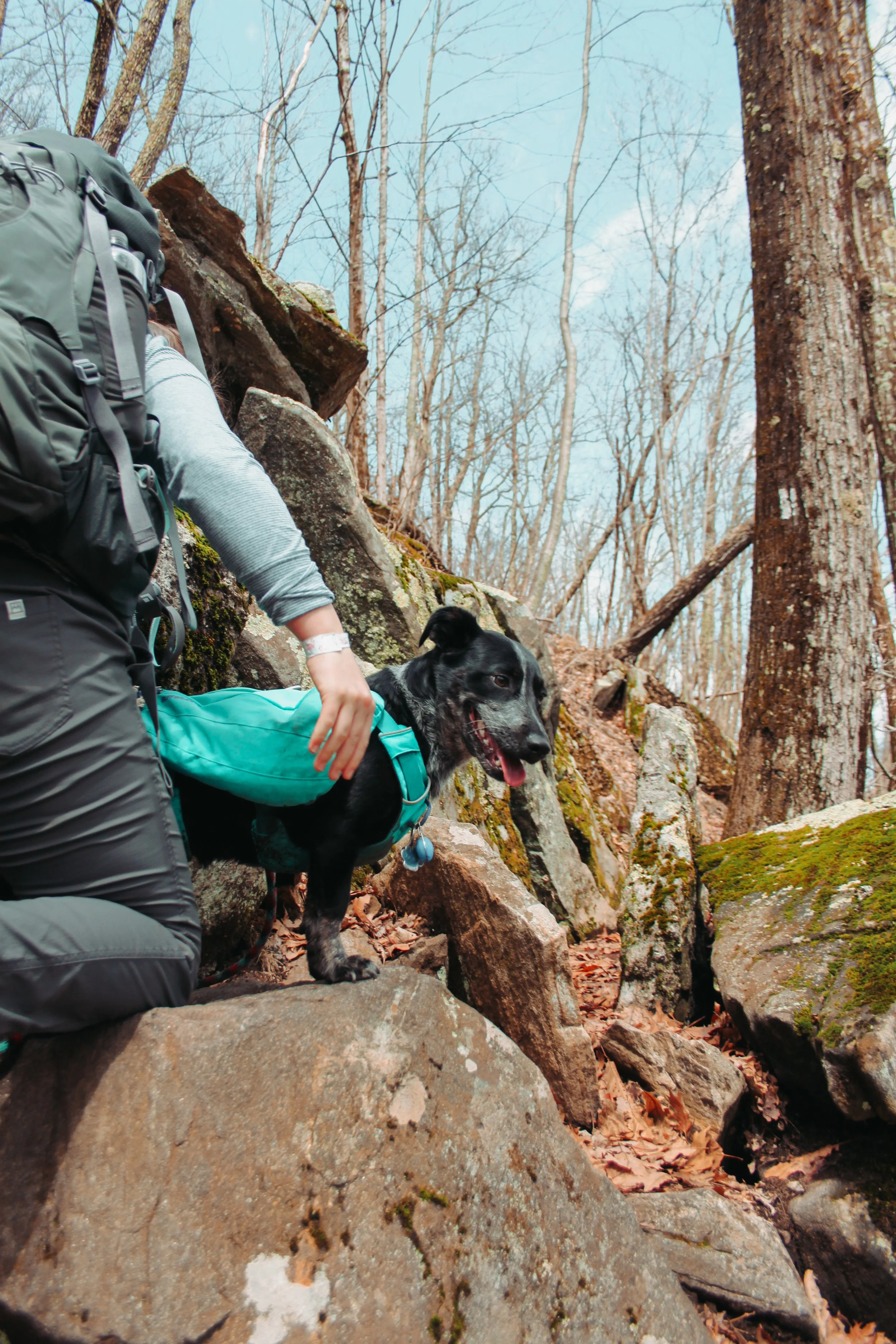
The best (dry) adventure pup

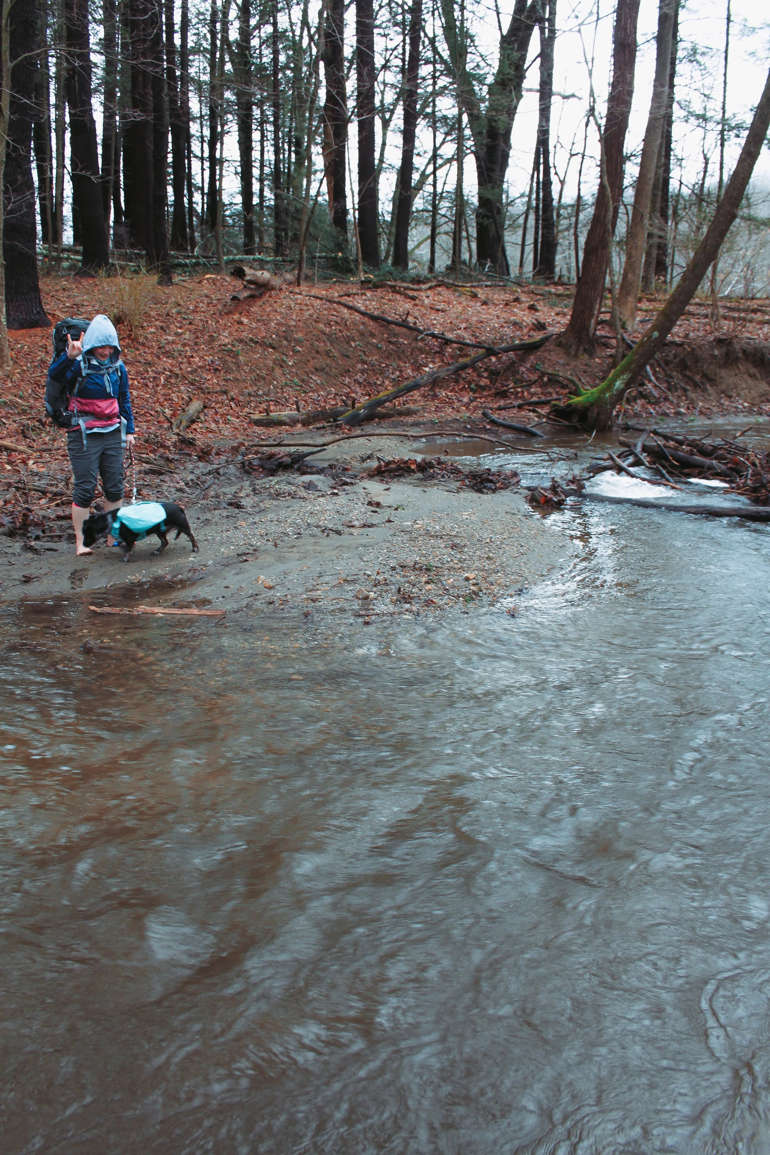
We figured the best way to cross it was to follow the river upstream to where the water level was more manageable. The best spot we could find was still at least knee deep but the water wasn’t strong. Sitting on the ground I peeled off my shoes, socks, and rolled my pants up as far as I could. Using my poles in one hand and the dog in the other I made my way across. Halfway across my foot got caught on a rock and I almost went down. It was quite the start to our adventure.

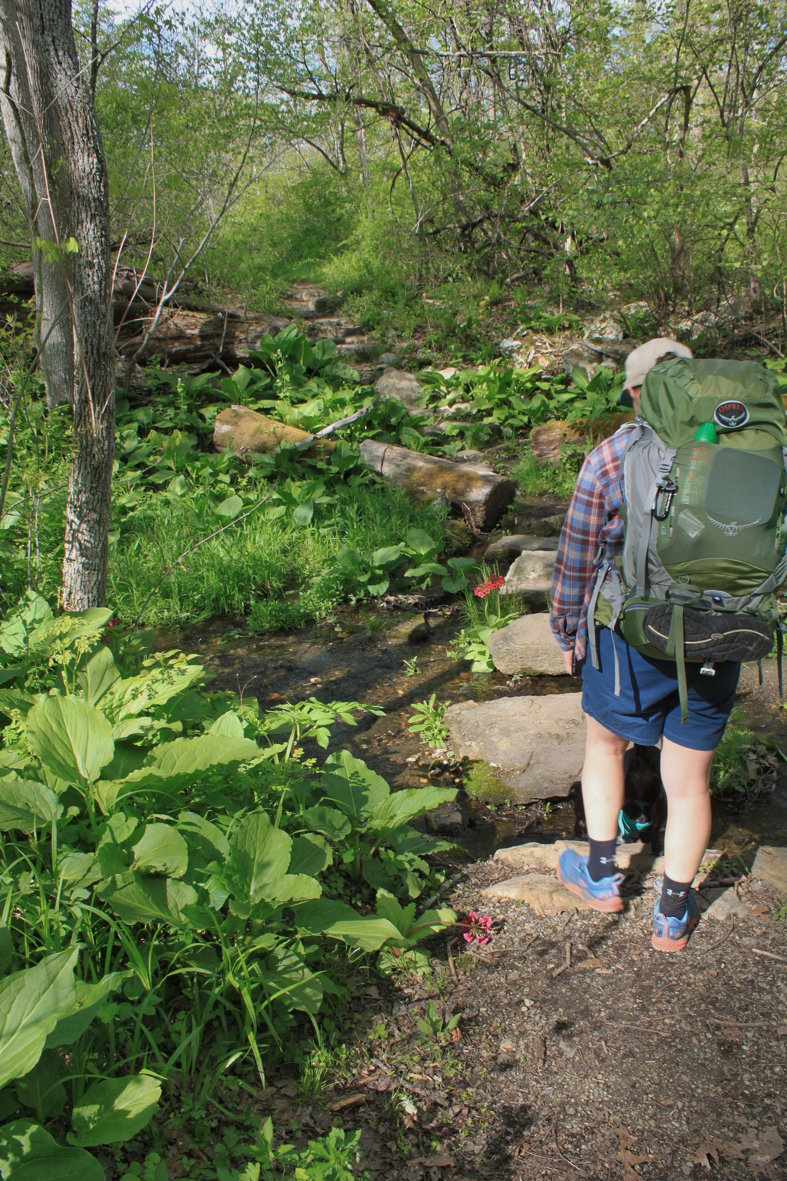
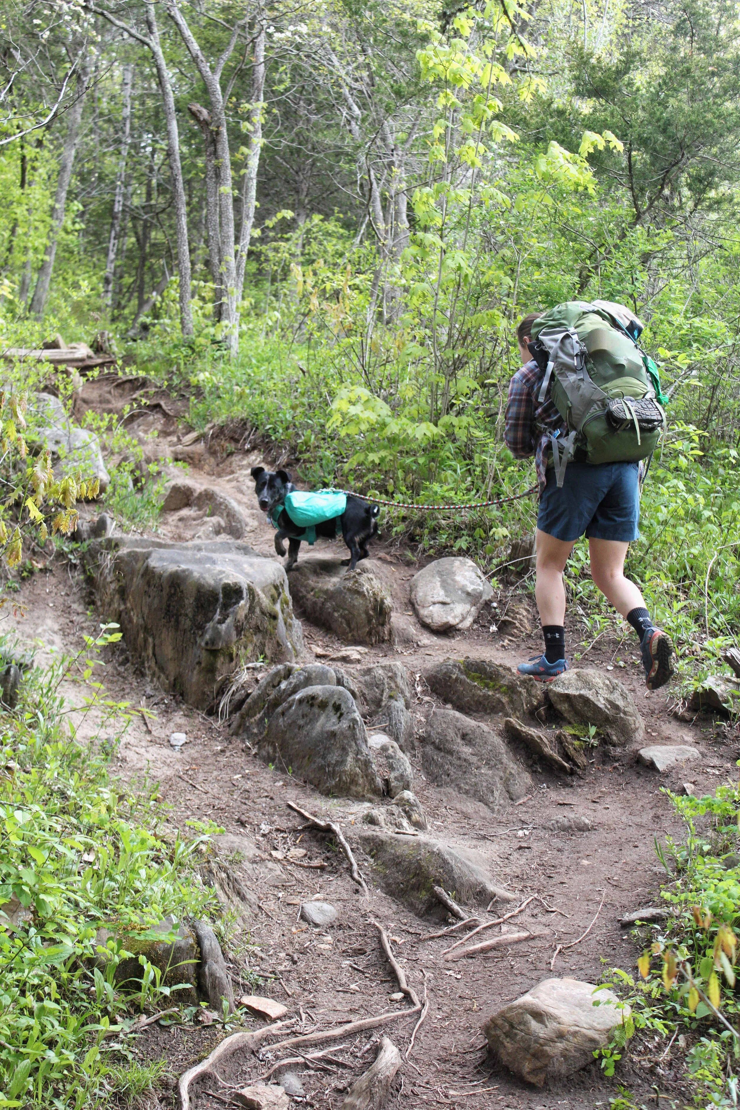
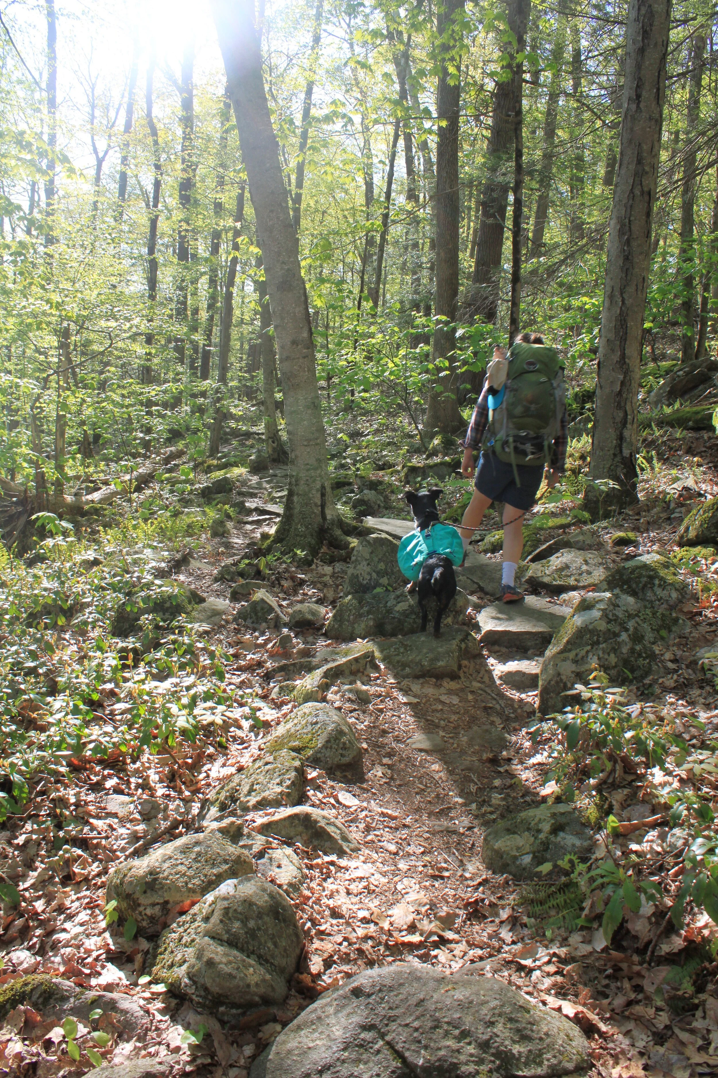
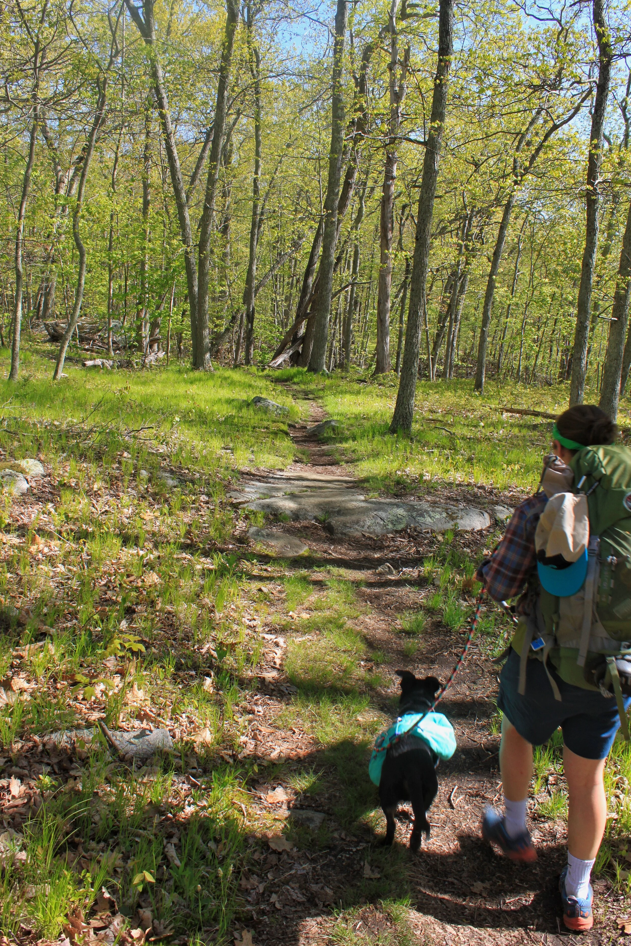
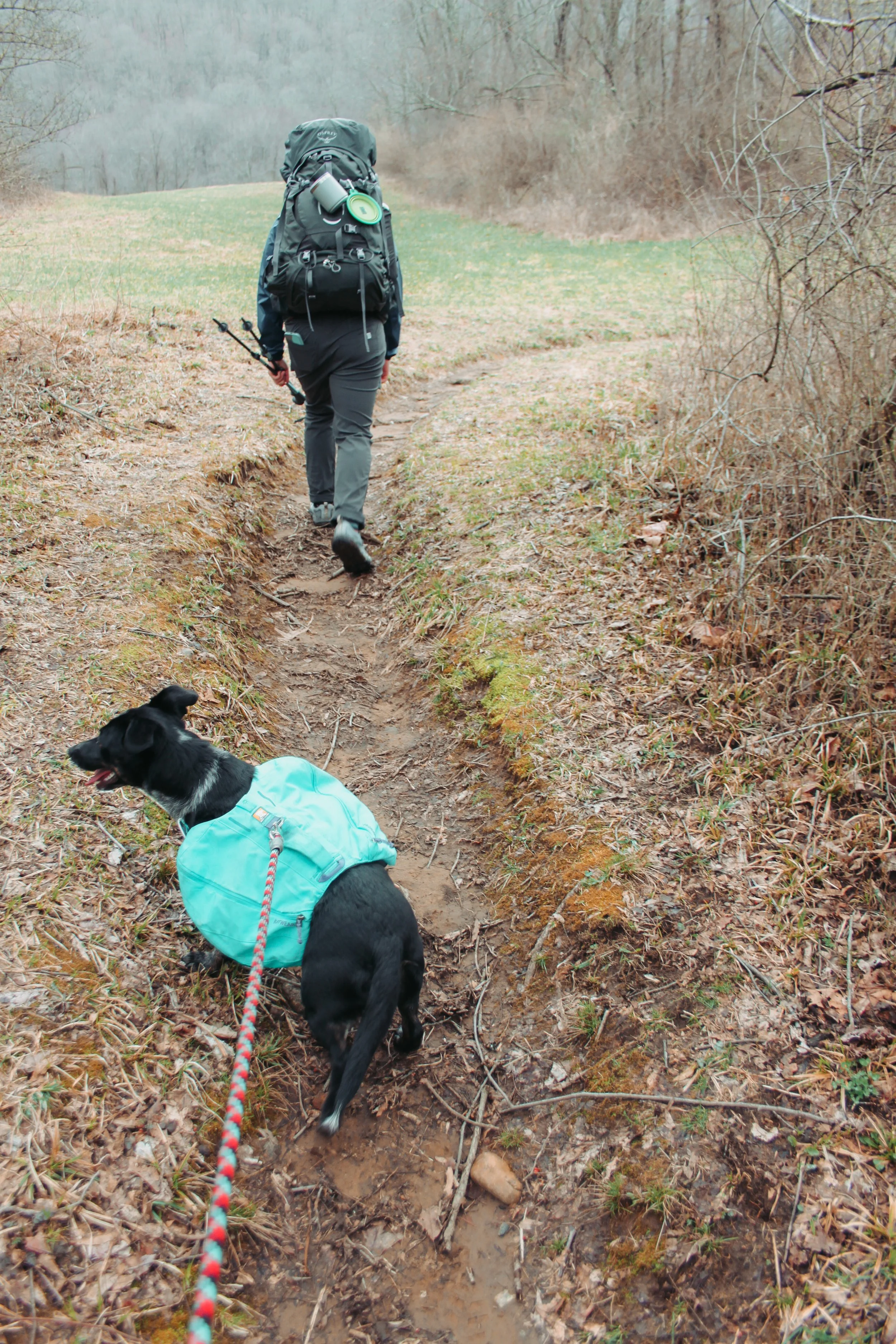
For most of the morning, we crossed rivers and the trail was flat and easy. Due to all the recent rain parts of the trail were completely submerged or extremely muddy. Our pup is adventurous but doesn’t always love water. Her harness has a handle that is perfect for these situations.

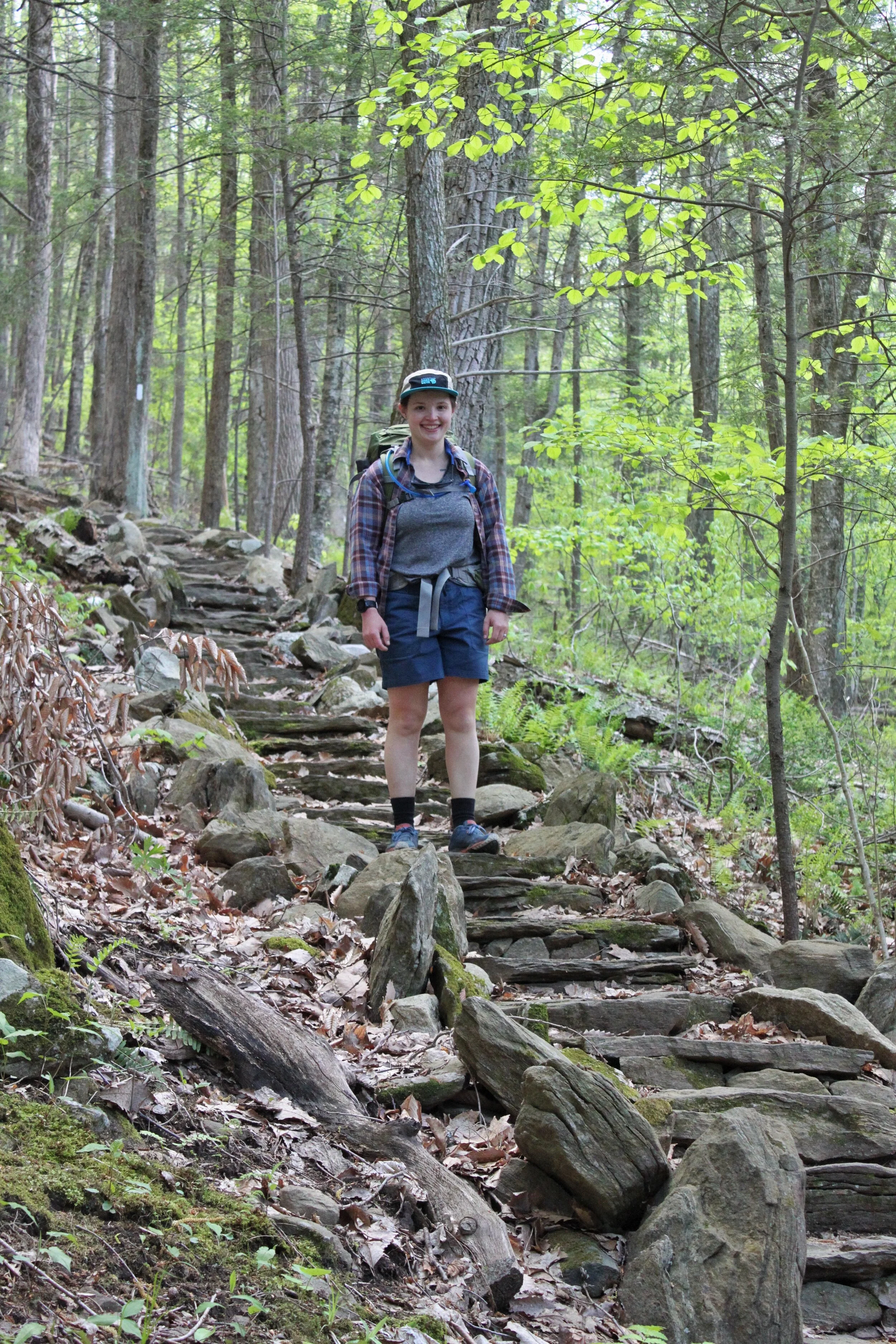
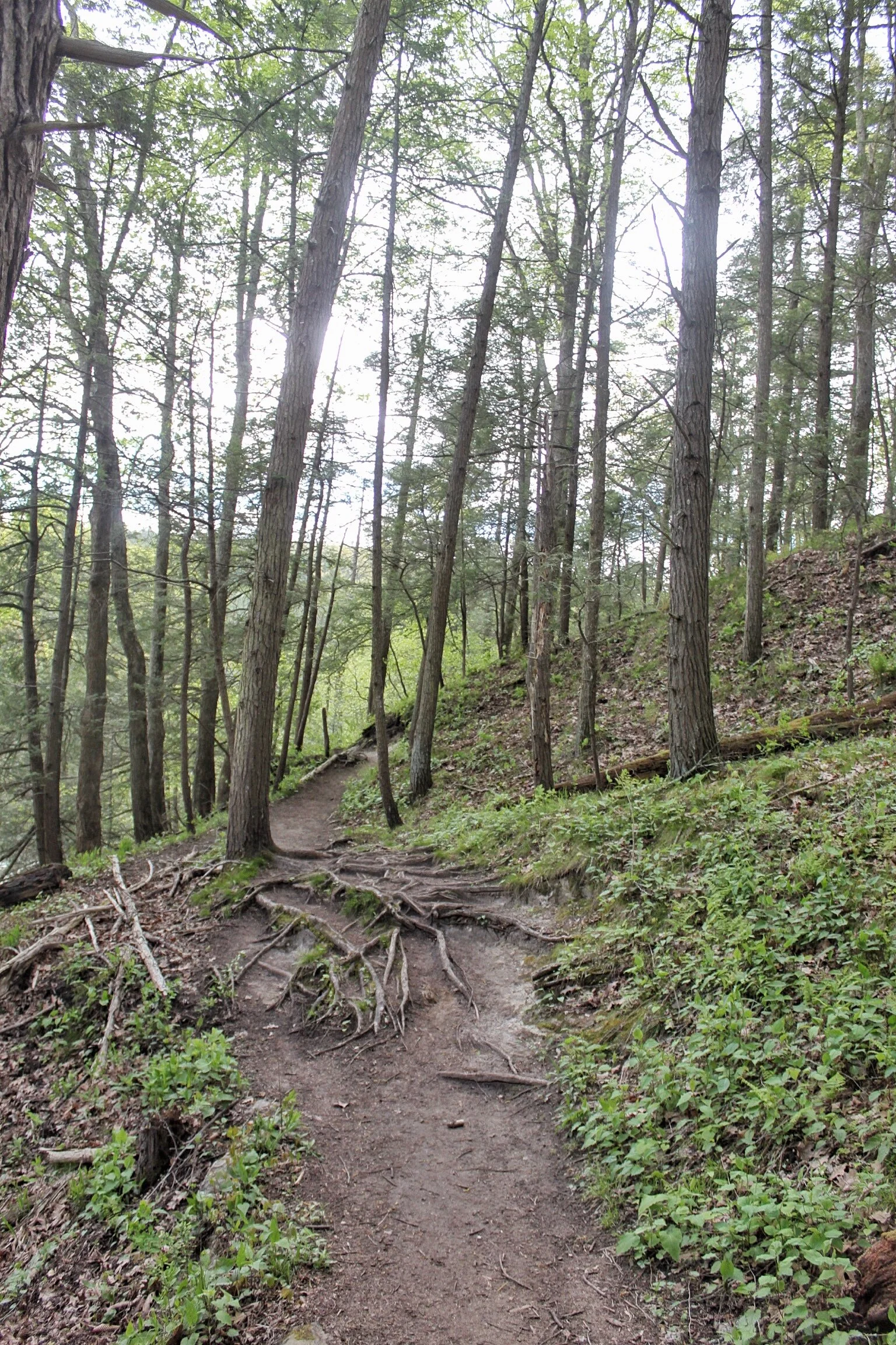
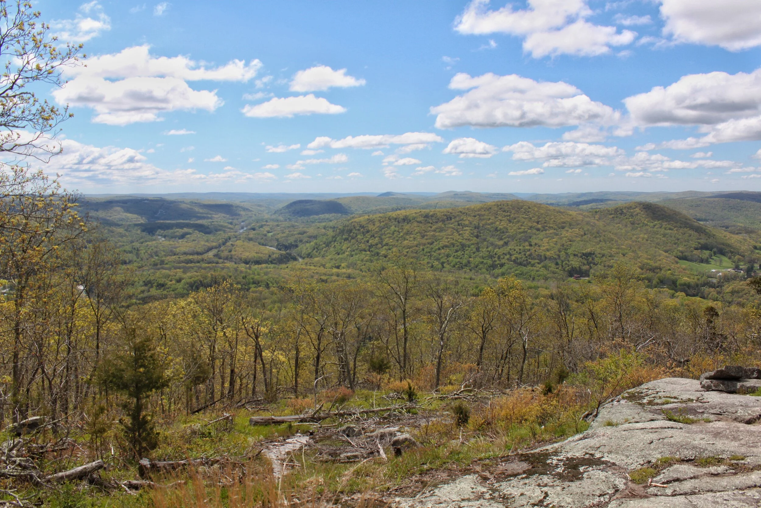
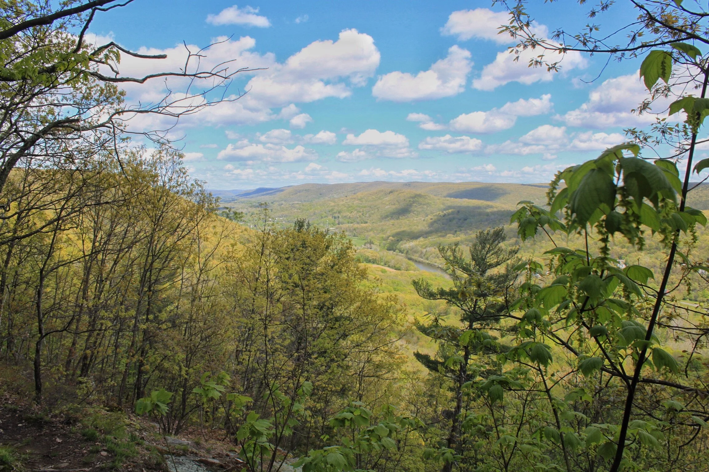
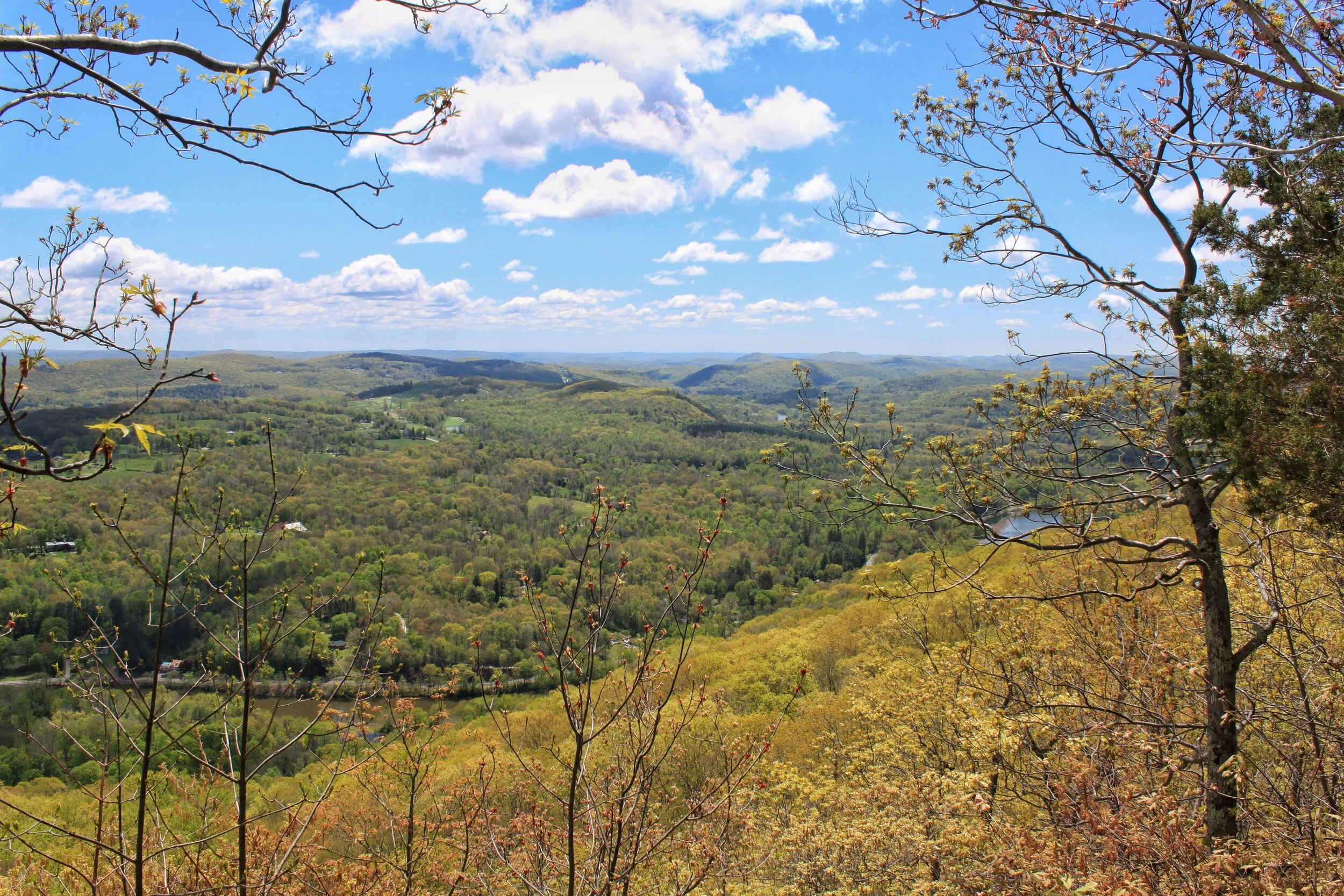
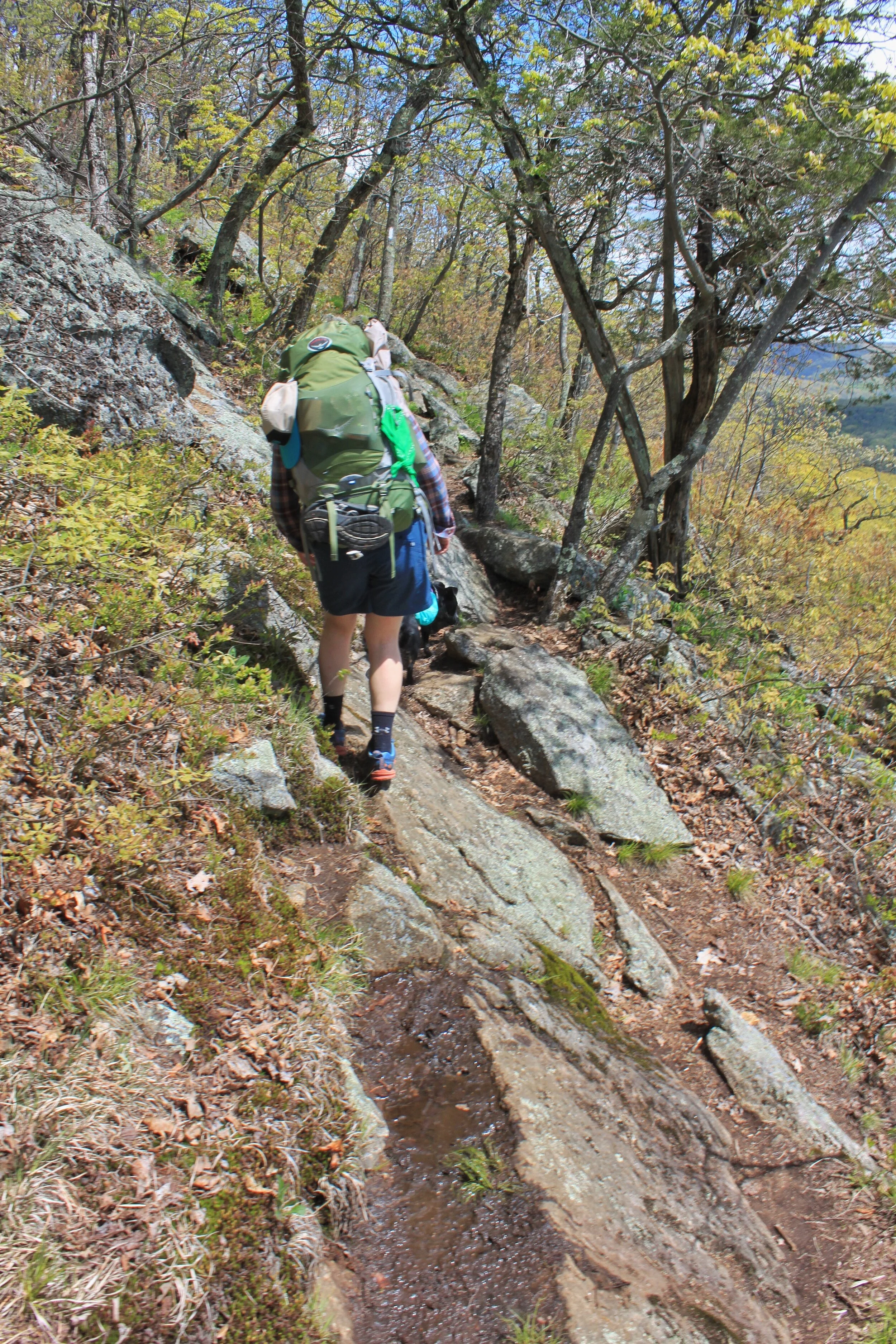
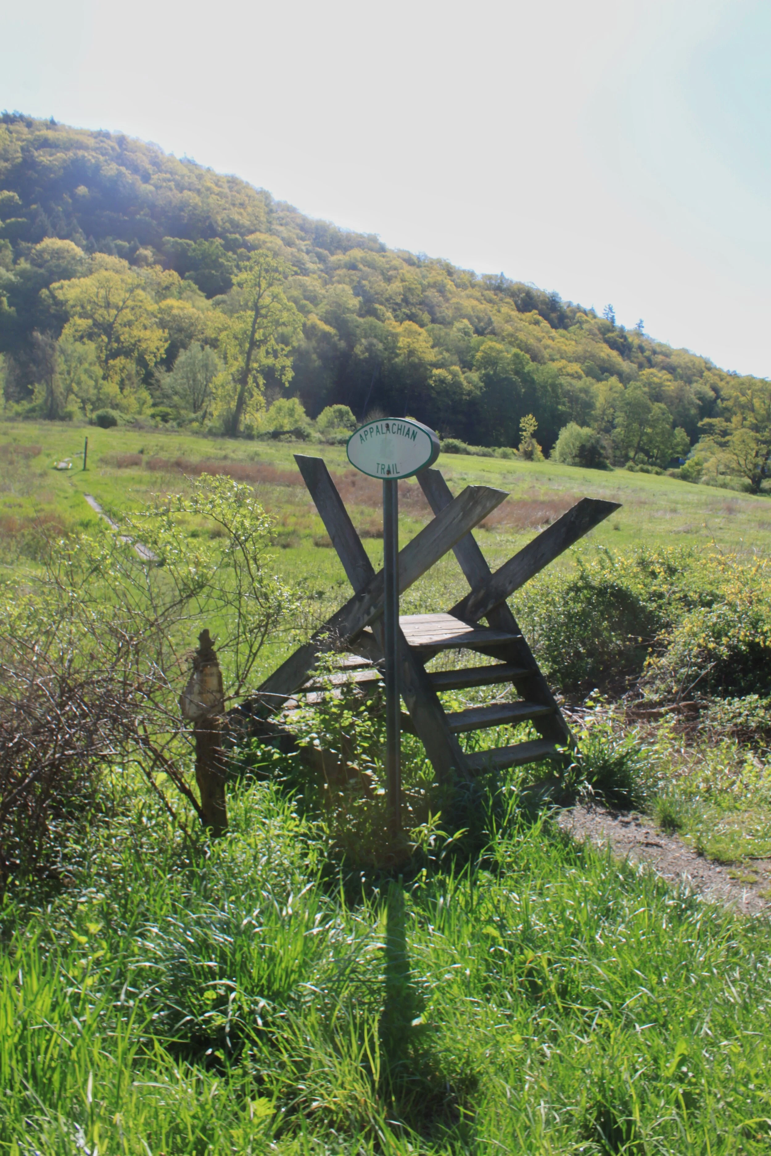
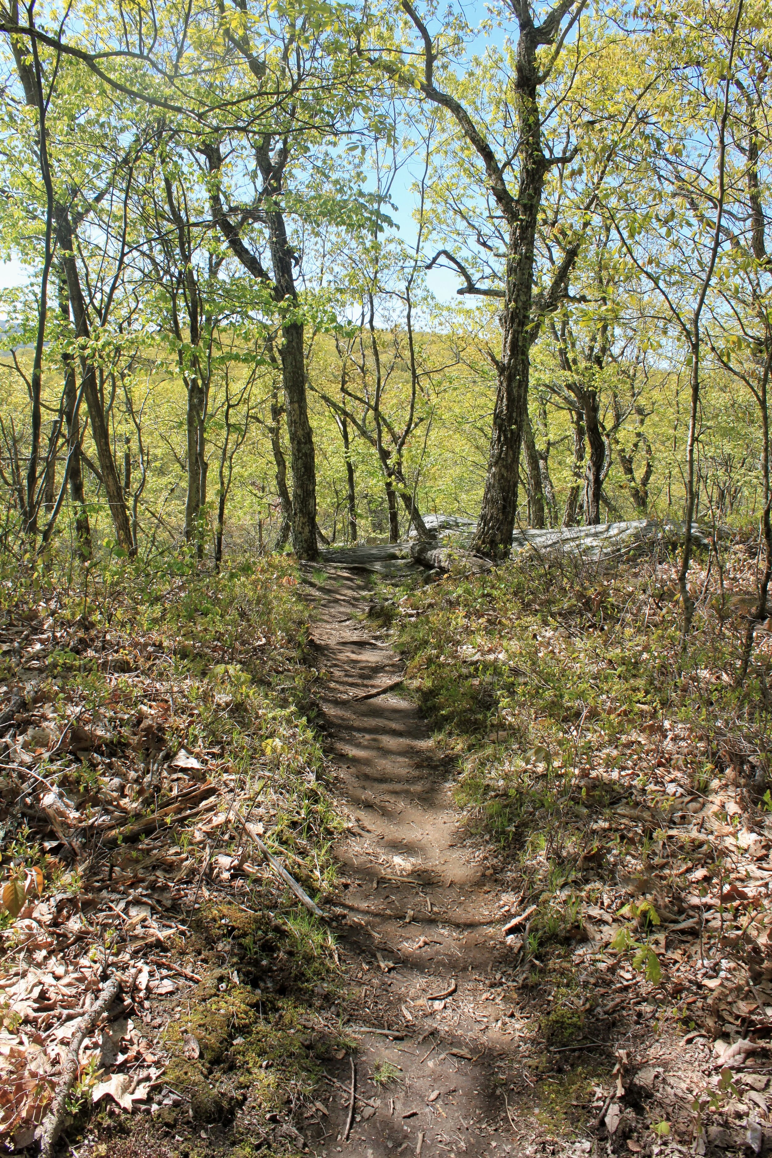
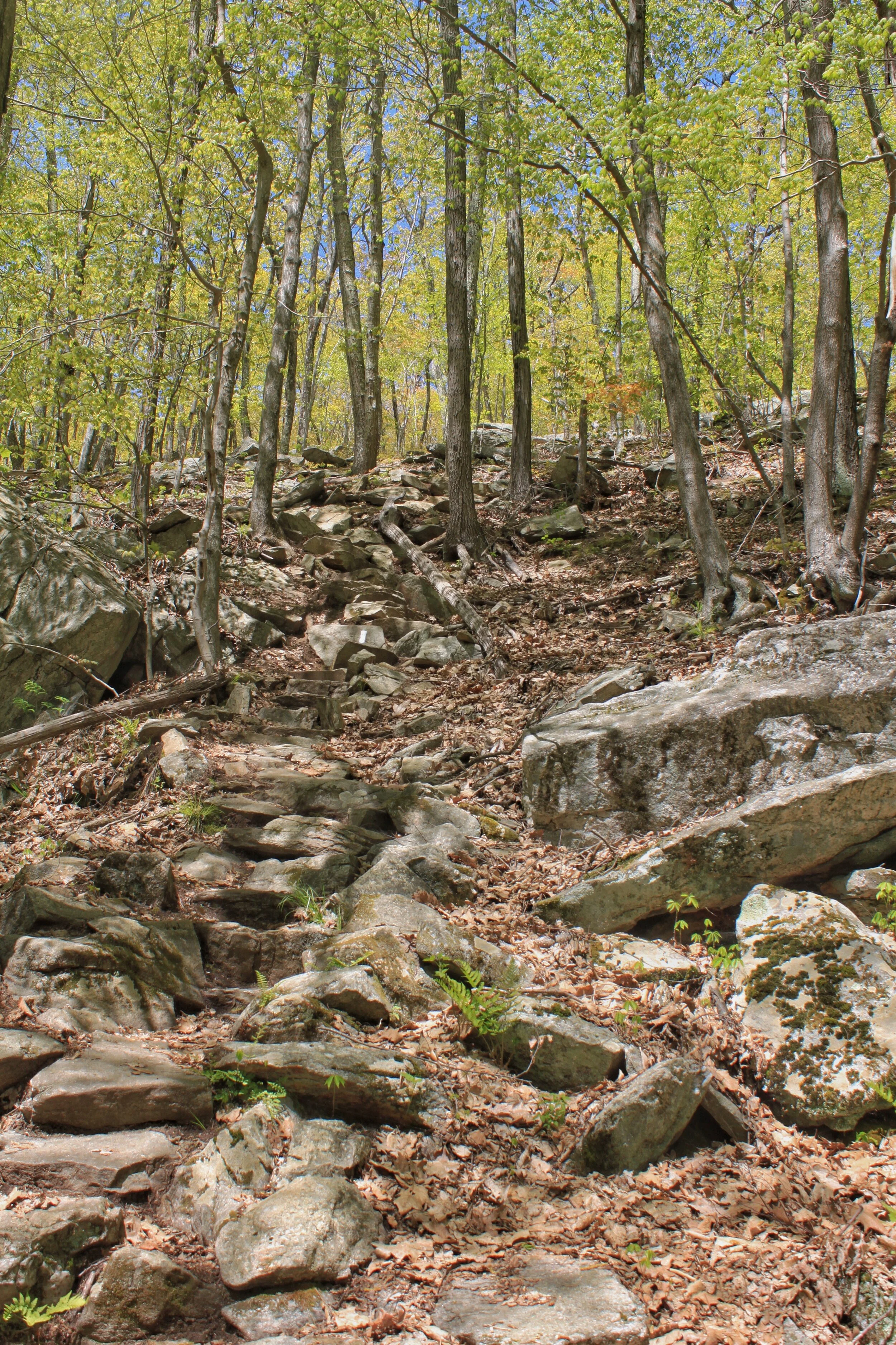
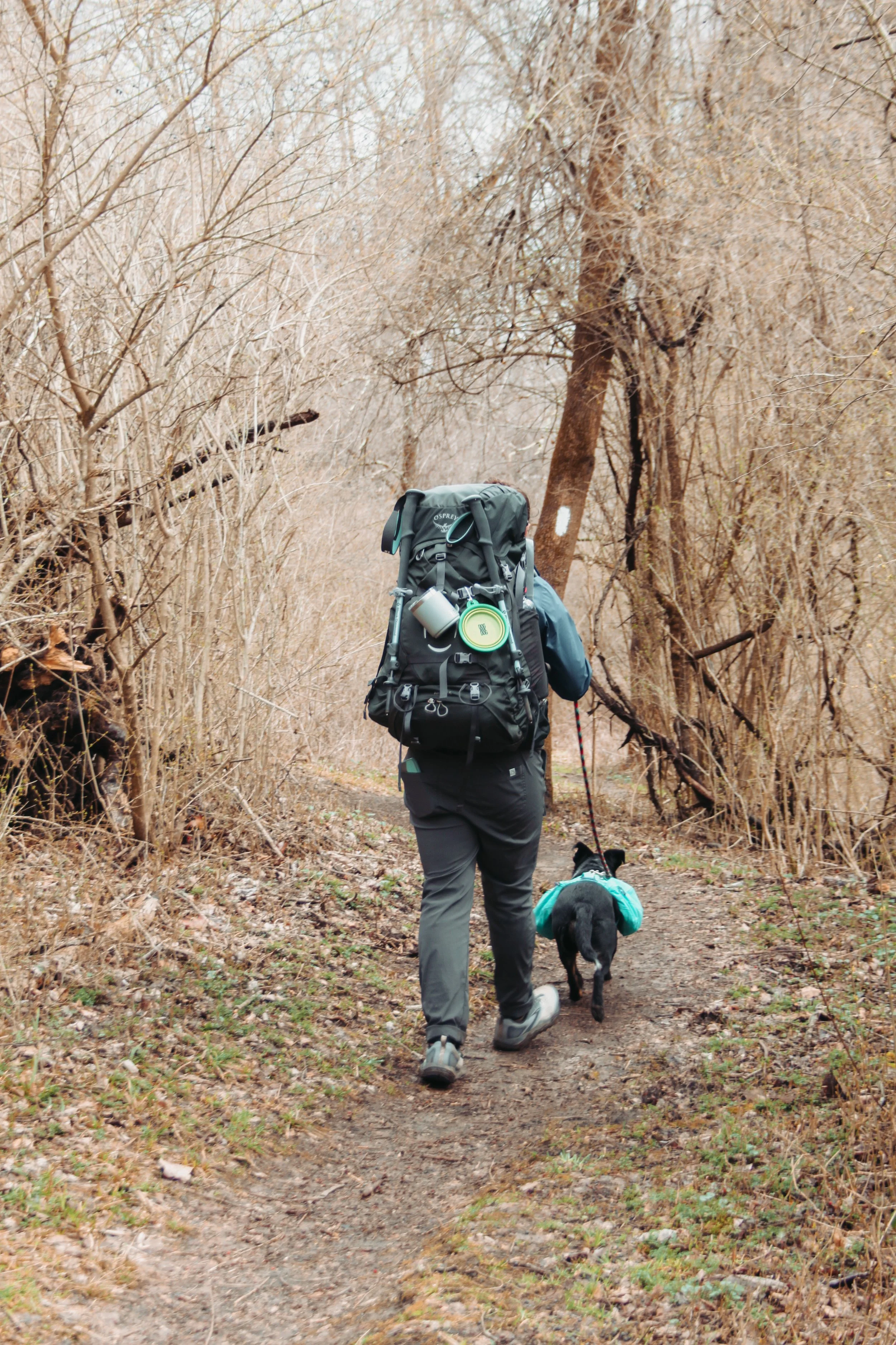
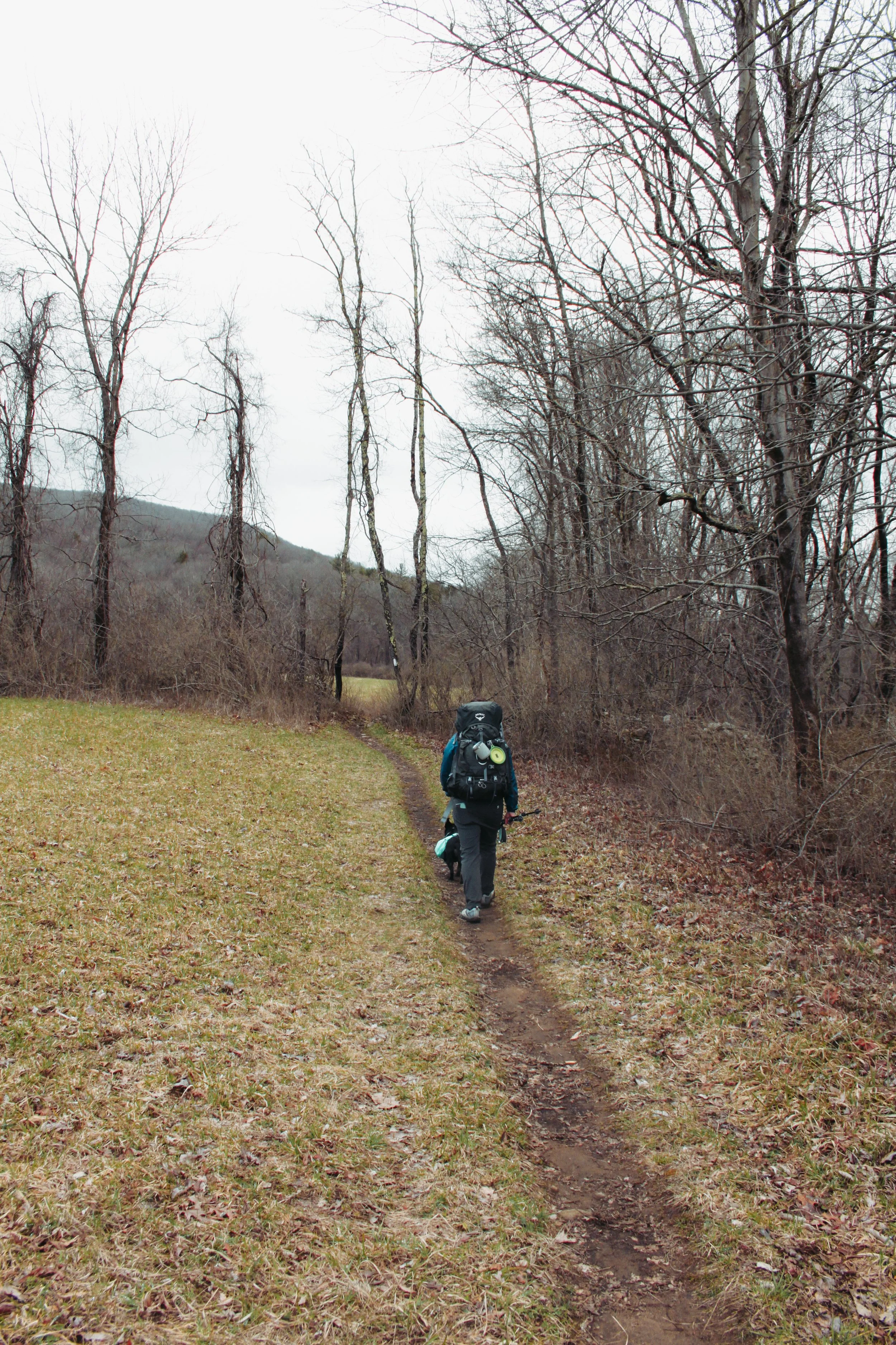
The trail eventually opened up to pastures and fields and we started our climb up into the mountains.

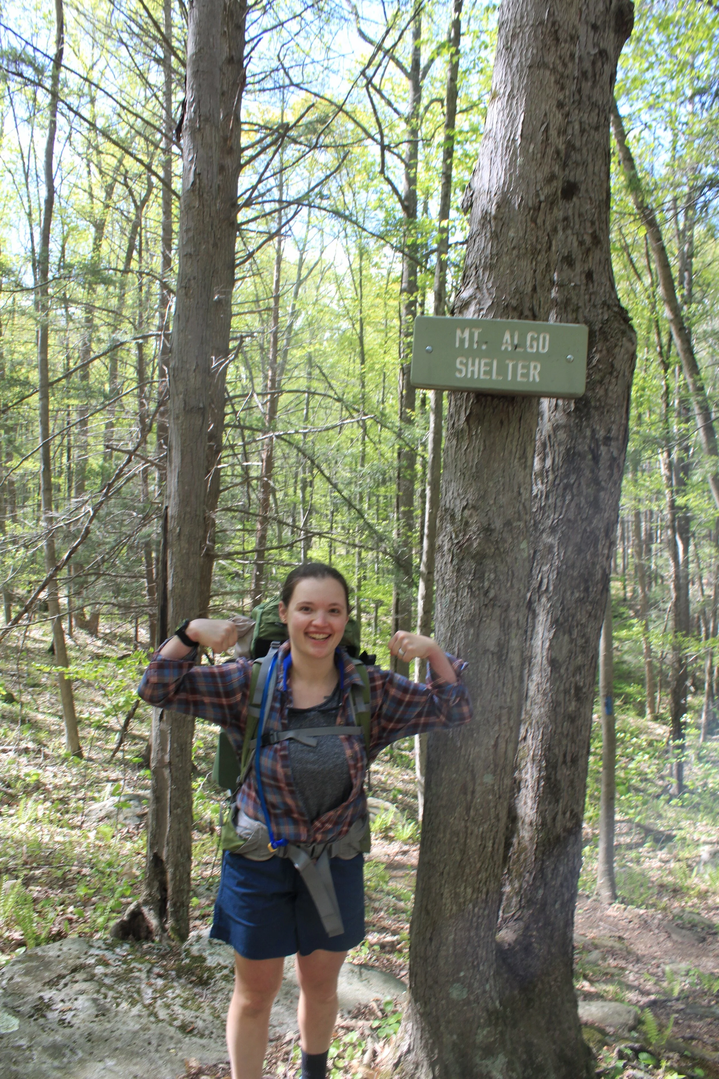
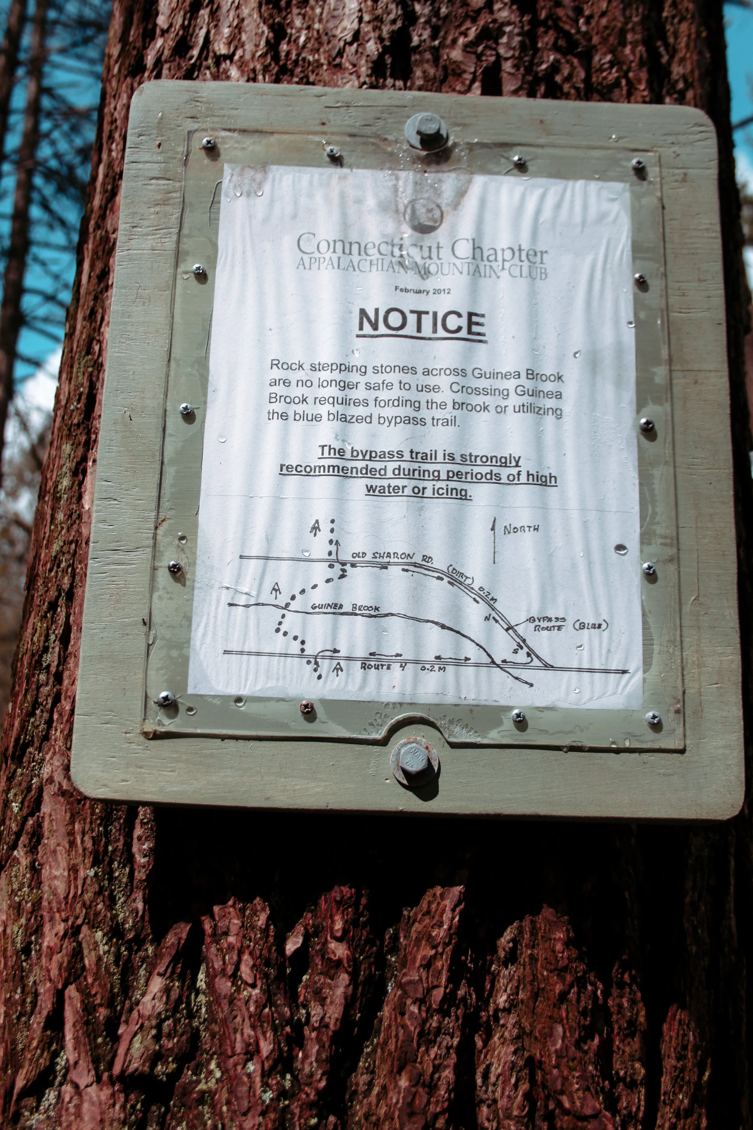
About five miles into the hike we reached the Route 4 crossing. Normally you can follow the trail over the road, descend down to the river, and cross using rocks and your poles. Due to the high water levels we were forced to do a blue blazed detour and had to road walk an extra 0.6 miles.

While taking our detour we took the opportunity to drink water and enjoy snacks. I chose trail mix and Leah had some beef jerky. Lucy of course enjoyed the scraps we dropped.

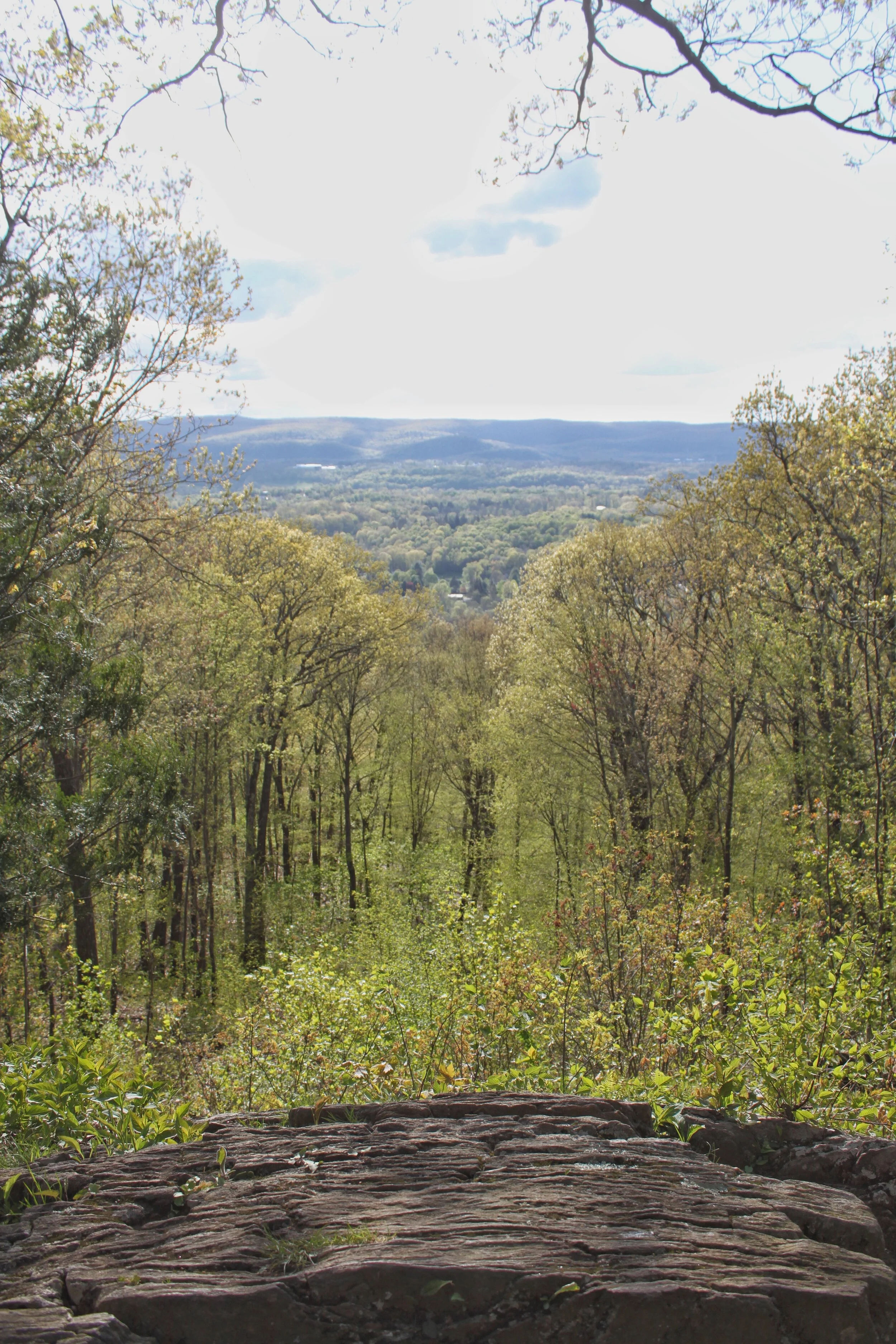
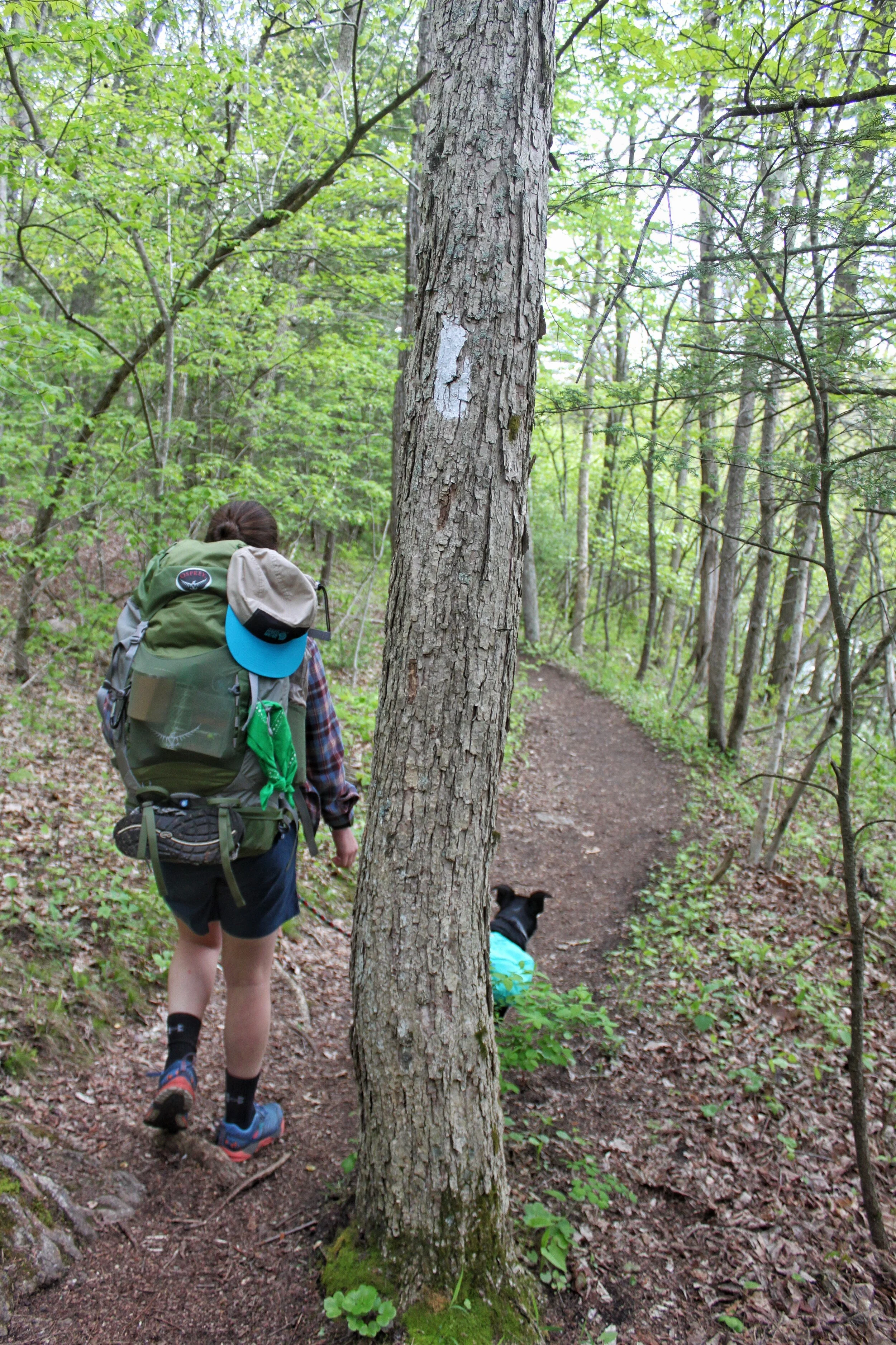
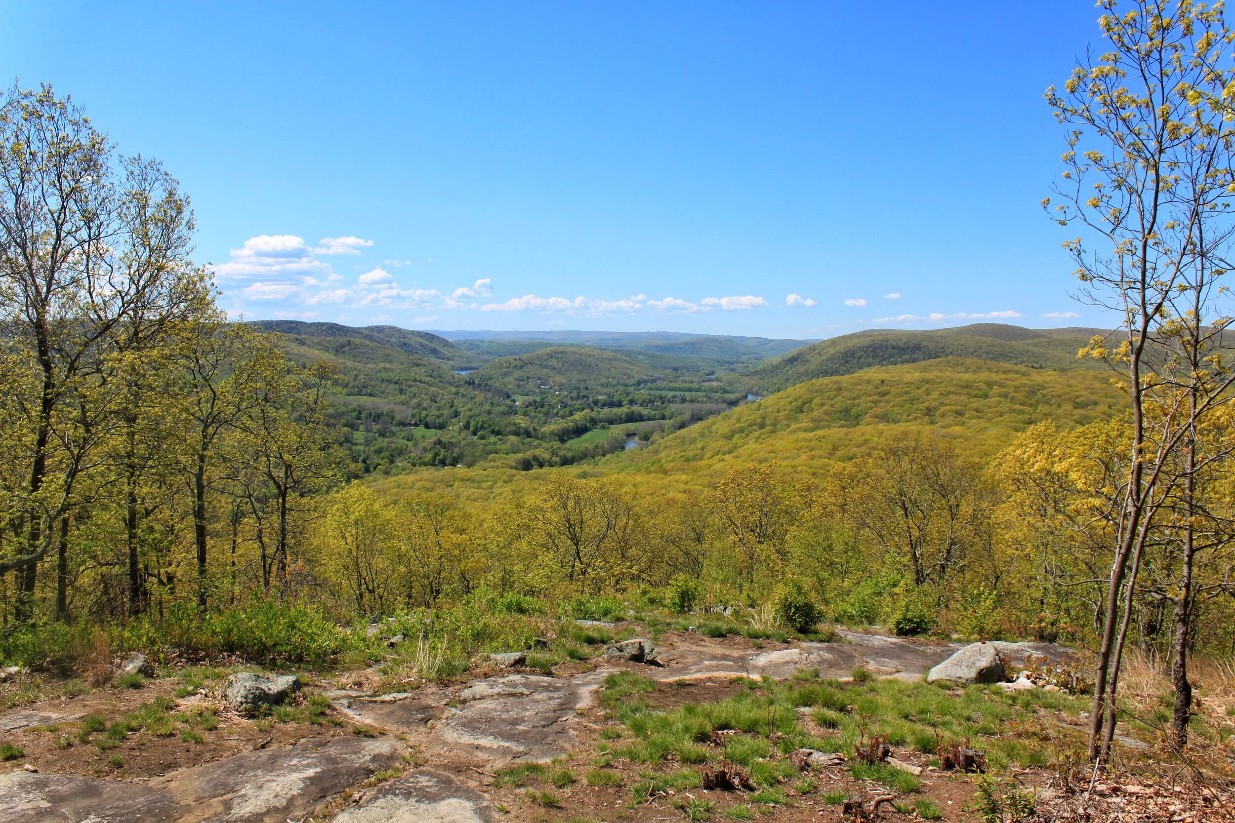
After re-routing we met back up with the AT. The trail quickly climbed out from Route 4 up into the mountains. The green tunnel passed two overlooks but due to the overcast weather there wasn’t much to see except a ski mountain far in the distance. Here we were sweating from our climb in T-Shirts and people miles away were skiing down the mountain.

After hiking for hours we were all gassed. We stopped for another snack break next to a set of waterfalls enjoying apple chips and granola bars. The pup and Leah took a power nap while I checked FarOut to see how much further we had to the campsite. We still had over four miles and two large climbs. I felt defeated. The fatigue had set in, our feet were sore and our muscles were tired. I woke Leah up after about 15 minutes and explained the situation. After talking it over instead of pushing on to Pine Swamp Brook shelter which was our original goal we decided to go as far as ceaser brook campsite. This cut the four miles in half and we only had one big climb left. Reluctantly we left our snack spot and headed down the trail.

Waterfalls for our snack break

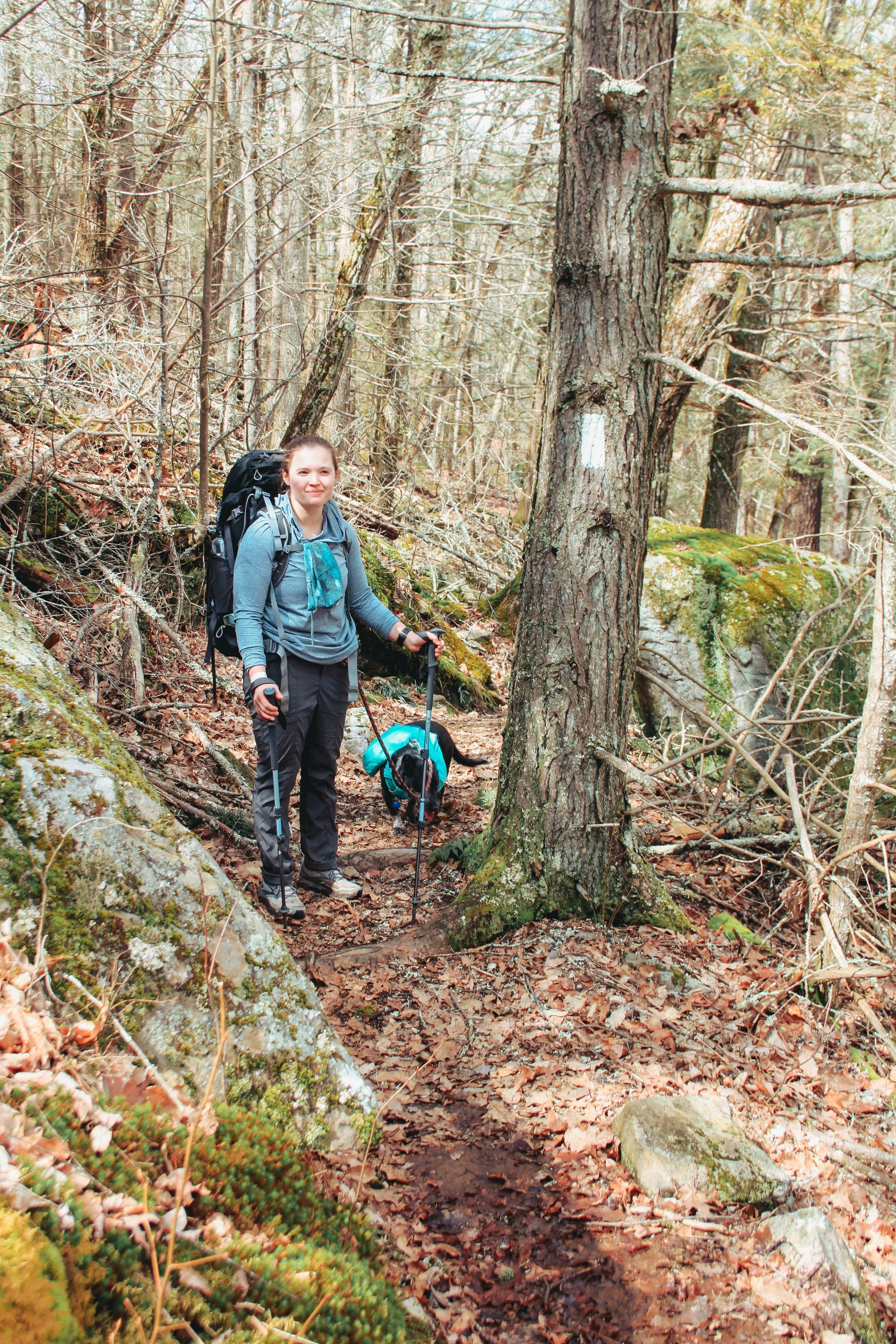
The trail climbed for a hundred yards or so and then leveled out. We were cruising on the flat ground! The trail was covered in pine needles and was nice and soft to walk on with our sore feet.

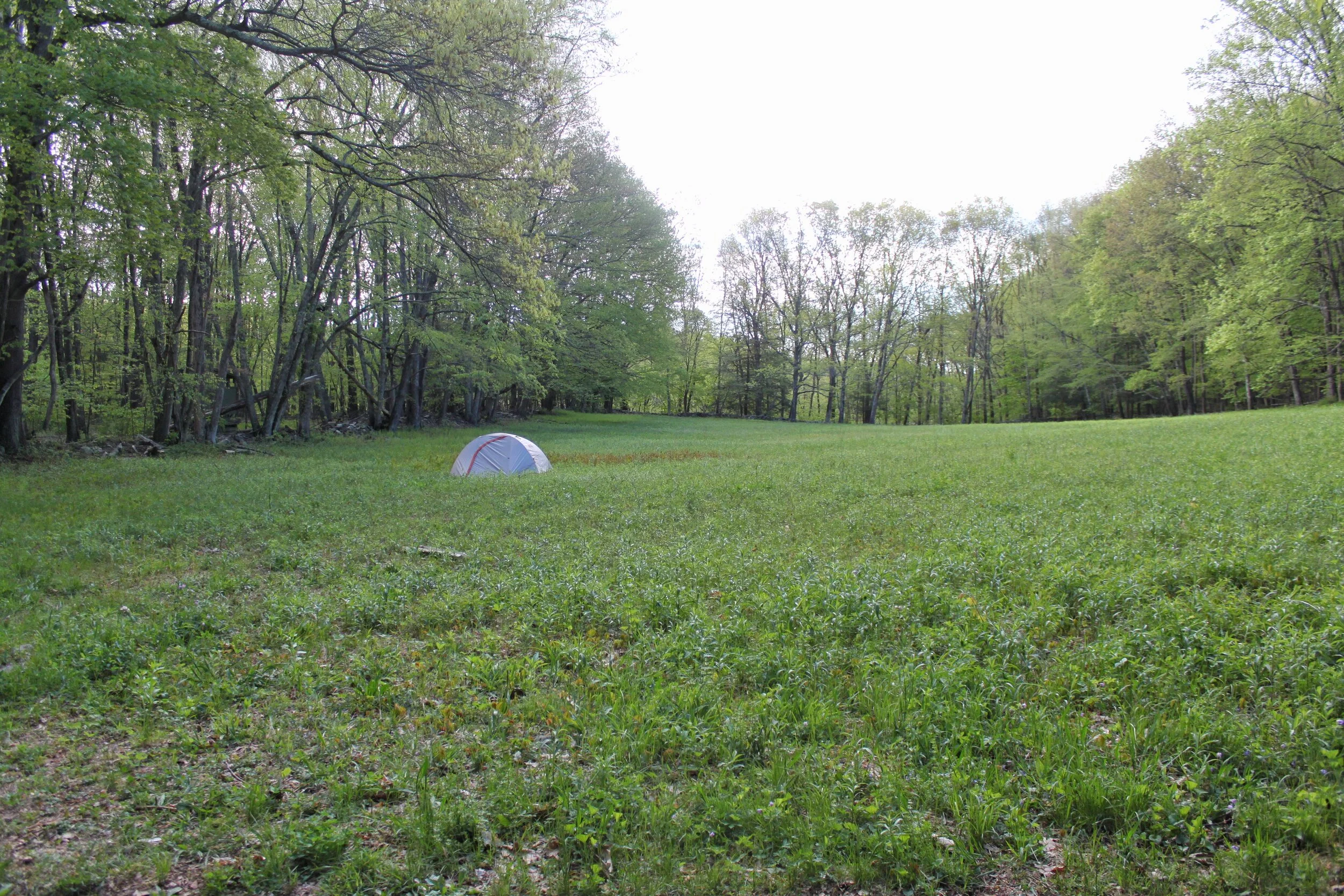
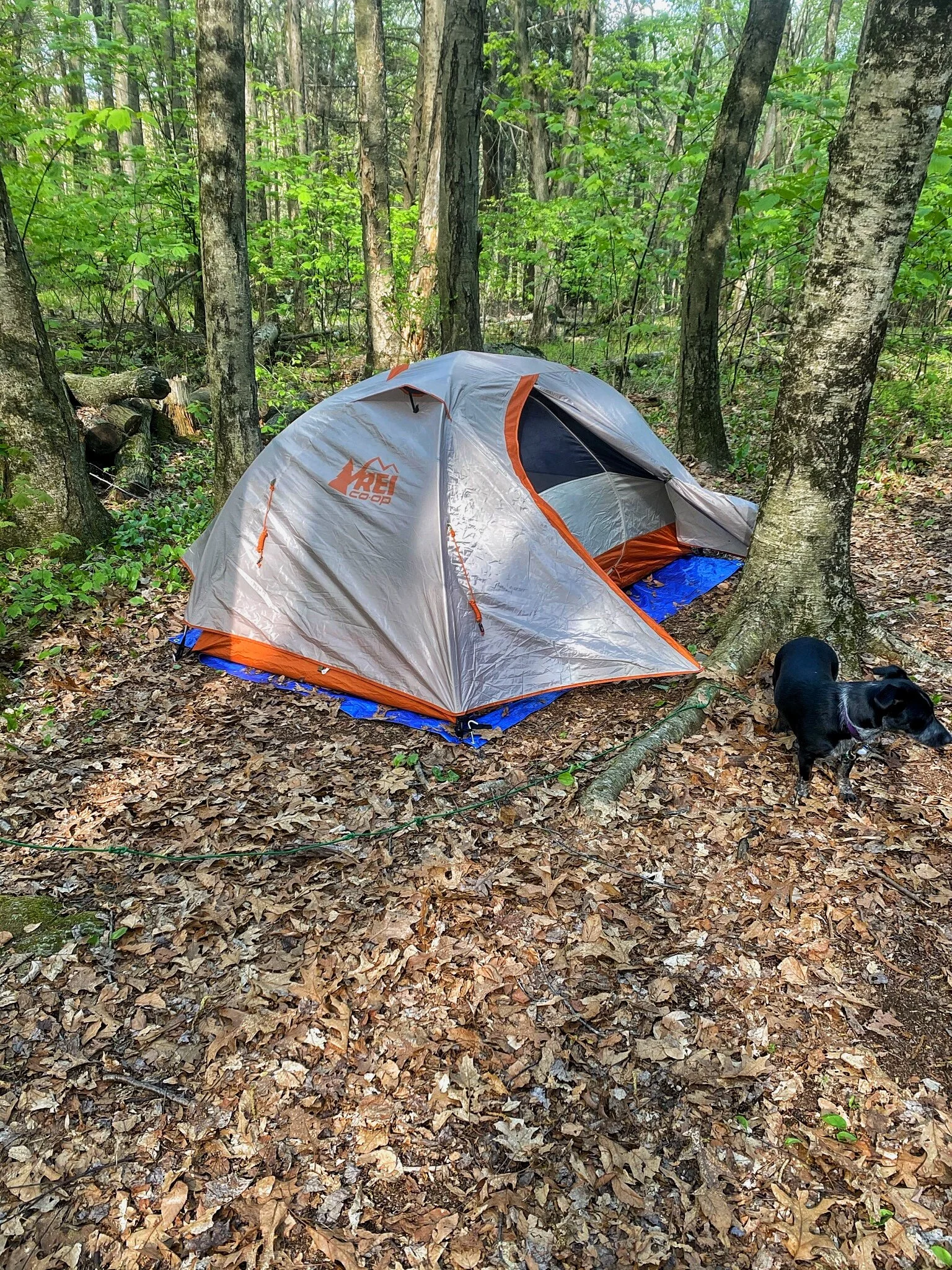
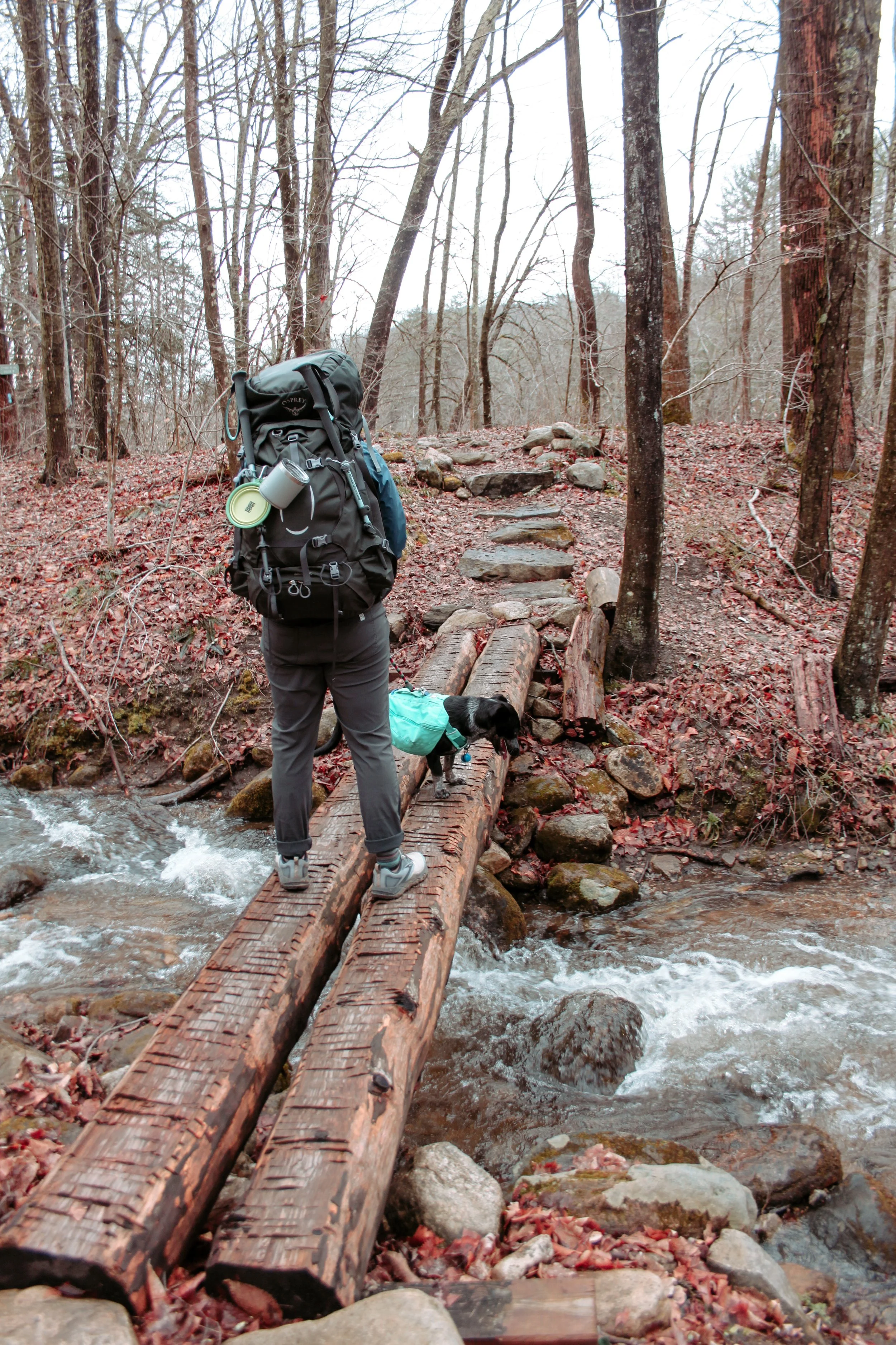
We descended down to one more river crossing. Lucy was a pro by now she let us scoop her up by her packs handle and carry her without a fight. She learned how cold the water was a few river crossings back. After crossing the river we arrived at the Ceasar Brook Campsite.

We set up our tent, cooked dinner, and went to bed. We were exhausted. Even the dog, who’s normally an energizer bunny crawled into the tent did a few circles to ‘make a bed’ and passed out. The weather was cool enough that our sleeping bags and tent were incredibly cozy and we all slept great. When I rolled over in the morning something beneath me felt loose. I pulled my arm out of my sleeping bag and touched the area underneath the sleeping pad. My palm sunk down about an inch. Overnight it had rained and our tent was now resting in a giant puddle, shoot. I woke the crew up and begrudgingly we crawled out of the sleeping bags and started to pack up a soggy camp.

After the unexpected rain overnight I downloaded the forecast while we cooked breakfast and coffee. It was not looking good. Hail, lightning, and rain and it was all starting in about an hour. Since we were hiking with the dog we chose the safe route, and called our ride to pick us up at a road crossing two miles away.
It’s one thing to hike in bad weather with the two of us but not with the dog. I don’t have pictures from the morning hike out because we were moving! We crushed the two miles in a little over an hour and sat next to the road waiting for our ride. Lucy got an extra meal, water, and, lots of loving while we waited.

It was a good thing we decided to leave early when we did. Our ride shuttled us back to our truck that we left at the start. The truck and road were covered in golf ball-sized hail. Not ideal.

We’re planning on continuing to section hike the AT. Keep up with the journey and read some more posts here.

The Appalachian Trail Connecticut Section 1

The Appalachian Trail is the one of the oldest footpaths in America. The Trail starts in Georgia and ends in Maine for a total mileage of 2,180 miles.

When I first heard about hiking the AT I was in elementary school and we were learning about the trail in a history lesson. Shortly after I proudly announced to my girl-scout troop that for our final outing we should do a hike on the AT. We ended up doing a short day hike on a boardwalk with zero elevation gain. Fast forward to college, specifically the summer of ‘16, my partner Leah and I set out to section hike Connecticut. We had intentions of finishing all 52 miles but didn’t make it by the time we had to head back to college. So now with 3 day work weeks, we’re setting out this year to Backpack the Connecticut section. Oh, and our 1.5-year-old Blue Heeler mix, Lucy, is coming with us!

The shelters and camping areas in Connecticut typically all have a privy, bear-box, and a water source. There are plenty of water sources during these miles so you don’t need to carry that much water (win!).

Here’s the overview of how we tackled the first 16.2 miles in Connecticut in a quick 2.5 day trip.

Day One: 0.0 Hoyt Rd to 3.0 Ten Mile River

We started our hike around 4:30 to head to the campsite. The first three miles are an easy warmup for the trip with only 640ft in elevation gain.

Attachment-1.jpeg

Connecticut welcomes you with a flat start through marshland and a few stream crossings.

You enjoy a couple more areas of slow elevation gain and descent before starting a small climb up Ten Mile Hill.

IMG_3108.JPG

Once you reach Ten Mile Hill you get your first view in Connecticut

From here you descend down to the Housatonic River and to Ten Mile Hill Campsite

You can choose from a shelter, a large open field adjacent to the shelter, or several campsites. When we arrived the campsites were full so we set up our tent in the field. The Shelter has a water pump, bear-box, and privy. Not to mention amazing views of the Housatonic River.

As we were cooking our dinner that night we had free entertainment when a group of Whitewater Kayakers passed through. Leah had packed out her fishing pole so as we cooked dinner Leah dropped a line in.


DAY TWO: 3.0 TEN MILE RIVER - 11.2 MT. ALGO (8.2 MILES TOTAL)

Day two started with an early wake-up. We packed up camp, snagged some coffee and breakfast, and headed out to start the day.

You leave the camping area and cross a bridge over the Housatonic River. If you have a dog the steps up to the bridge are quite steep and our pup wasn’t able to get up them. The first of many times we were grateful for her RuffWear pack and the built-in handle.

After you cross the bridge you walk along the Housatonic River for about a mile before you exit the woods and walk Schaghticoke Rd.

Once you dip back into the woods after your road walk you start your climb up Schaghticoke Mountain. The climb is worth the view! The viewpoint at the top of your climb is called Indian Rock and was the perfect spot for a morning snack. About 3/4 up the climb you cross over into New York. You’ll stay in NY for about 1.7 miles and then you’re back in Connecticut.

After snacking with a view you’re rewarded even more with relatively flat terrain for about 1.5 - 2 miles. You’ll cross a few more streams and then one large stream that is gorgeous. The rock path, if you can call it that, is a little tough to get across but worth it. This is one of the last areas with multiple off-trail areas to sit. Would definitely recommend grabbing lunch here.

After lunch keep hiking to the campground! Only a few more miles to go with gradual ups/downs the trail essentially follows a ridgeline and you’re rewarded some awesome views along the way.

If you feel like stopping early you’ll pass an additional camping area, Schaghticoke.

After a long day of hiking we made it to the shelter. You cross one more stream to get to the site, there’s a bear-box, lean-to, and about five designated campsites. We cooked up Indian for dinner, enjoyed some Mule’s we packed out, and played cards. As soon as we were done eating we crashed, hard. Nothing like going to bed at 8pm!


DAY Three: 11.2 MT. ALGO - 16.2 South Rd (5 MILES TOTAL)

Day three started with coffee and pop tarts for breakfast. We broke down camp, filtered water, and set out to descend down Mt. Algo. This section is not easy on the knees.

At the bottom of Mt. Algo you reach Rt. 341 cross the road and walk through a field before starting your climb back up into the mountains.

After you cross the bridge pictured above you start your climb for the day. The great part about this section is you’ll get most of your elevation gains are done in the beginning. Once you finish climbing the trail winds its way through dense trees that open up to small grassy areas. One of my favorite parts of the trail is when there’s grass on both sides and it looks like the trail was carved into the landscape.

JPEG image-8A3D5412DBFA-1.jpeg

The best lookout of the day is Caleb’s Peak. The trail pops out from the woods to a large rock face to sit and enjoy the view. Even if with multiple people stopping to enjoy the view there’s plenty of space for everyone without feeling too crowded.

The trail continues along the ridge line after Caleb’s peak to St. John’s Ledges which also has a great view. Rest up your knees because you’re about to descend all the elevation you gained in the last three days down to River Rd.

Amsterdam, Netherlands

fullsizeoutput_614d.jpeg

Amsterdam

Amsterdam is one of the most popular destinations in Europe, and for good reason- Amsterdam has something for everyone. It is one of the most unique cities in Europe, known for the Red Light District, The Anne Frank House, 24/hr clubs, Mary Jane, Heineken, the Canals… and the list goes on.

Amsterdam was the last stop on our trip. We arrived to Amsterdam Central Station from Brussels. Once we exited the train station we were immediately hit with the energy of the city. We arrived the same time as trains from a rugby match were arriving, the entire city was flooded with red jerseys and people singing match chants- it was a blast to watch. Every day we went out and explored Amsterdam you could feel the energy of the city- there’s always something going on and things to do.

how to see the city

The best way to see Amsterdam is to walk the streets, hop in a boat and explore the canals, and of course by bike. The city also has trams and a metro both accessible from the train station providing quick access to the city.

where to stay

Amsterdam has a wide array of lodging options, if you’re looking for upscale, unique, inexpensive, there’s something for everyone. We chose the unique option (also the affordable option!) and stayed at the Arcade Hotel. Each room has color changing LED lights, and multiple gaming consoles, and the lobby has a room filled floor to ceiling with games that you can choose from- it was a really fun way to wind down from action filled days and relax before bed- we felt like kids again. The Hotel has a full bar, patio, serves breakfast, and offers bike rentals.

what to do

The heineken experience

If you’re interested in taking a canal ride and drinking beer sign yourself up for The Heineken Experience. Heineken originated in Amsterdam and The Heineken Experience takes you through the story of how they came to be. The first part is the Brewery Tour where they give you free beer & what’s better than that.

After wandering the brewery and enjoying your pints in Heineken’s micro bar your next stop is the Canal ride. The Canal ride takes you through the streets of Amsterdam offering a different perspective of the city.

At the end of the ride the boat drops you off on the opposite side of Amsterdam at the A’dam Tower, one of the highest points in Amsterdam. Your tour package gets you access to the A’dam Lookout- offering 360° panoramic views. The tower is home to a revolving restaurant, 24 hour club, boutique hotel and the list goes on.

Once you’re done exploring the tower start to make your way along the water to a free ferry to take you back toward the heart of the City. On your walk you’ll pass a few bars with outdoor seating as well as The “I Amsterdam” sign, one of the most iconic photo stops in Amsterdam.


museums

Amsterdam is home to countless Museums and Art Galleries. If you’re interested in Museum hopping take a look into the City Card which grants you access to 70+ museums, free public transportation around the City, a canal cruise, and bike rentals, it’s definitely the best bang for your buck.

We chose to visit the Anne Frank House and couldn’t recommend the tour enough. Out of respect there are no pictures/videos allowed. The tour is self guided and takes around an hour. The stories of Anne and her family as you travel through the house are told through audio, video, and pictures. At the end of the tour there is a gallery filled with original clothing and pictures from Anne’s family as well as her original diary.

Other things to see & do

BF9705B7-B201-4ADC-A594-E7DE0853072F.jpg

jordaan neighborhood

The Jordaan neighborhood is a maze of winding streets lined with shops, cafes, and restaurants. Walking the streets you’ll feel like a local.

de 9 straatjes

Translated to nine little streets this area is smack dab in the canal belt and home to endless unique shops with clothing and gifts far from your typical tourist trap.

vondelpark

Think the Central Park of Amsterdam. Perfect for an evening stroll with a beer in hand with plenty of walking paths, benches, and ponds. A great escape from the congestion of the City.

Bloemenmarket

Bloemenmarket is the World’s only floating tulip market originally opened in 1862!